Estimated Value: $698,000 - $1,191,000
4
Beds
3
Baths
2,354
Sq Ft
$403/Sq Ft
Est. Value
About This Home
This home is located at 470 Twisp Carlton Rd, Twisp, WA 98856 and is currently estimated at $948,131, approximately $402 per square foot. 470 Twisp Carlton Rd is a home located in Okanogan County with nearby schools including Methow Valley Elementary School, Liberty Bell Junior/Senior High School, and Methow Valley Independent Learning Center.
Ownership History
Date
Name
Owned For
Owner Type
Purchase Details
Closed on
Jan 12, 2012
Sold by
Thompson T Dan and Thompson Cris
Bought by
Cascade Rim Llc
Current Estimated Value
Purchase Details
Closed on
Sep 15, 2009
Sold by
Wammack Scott T and Wammack Kamie M
Bought by
Thompson T Dan and Thompson Cris
Home Financials for this Owner
Home Financials are based on the most recent Mortgage that was taken out on this home.
Original Mortgage
$300,000
Interest Rate
5.18%
Mortgage Type
New Conventional
Purchase Details
Closed on
Jun 30, 2005
Sold by
Kutz Michael and Heitman Phil A
Bought by
Wammack Scott T and Wammack Kamie M
Home Financials for this Owner
Home Financials are based on the most recent Mortgage that was taken out on this home.
Original Mortgage
$404,100
Interest Rate
6.3%
Mortgage Type
Adjustable Rate Mortgage/ARM
Create a Home Valuation Report for This Property
The Home Valuation Report is an in-depth analysis detailing your home's value as well as a comparison with similar homes in the area
Purchase History
| Date | Buyer | Sale Price | Title Company |
|---|---|---|---|
| Cascade Rim Llc | $525,000 | Inland Professional Title | |
| Thompson T Dan | $569,000 | Inland Professional Title | |
| Wammack Scott T | $448,673 | Baines Title Co |
Source: Public Records
Mortgage History
| Date | Status | Borrower | Loan Amount |
|---|---|---|---|
| Previous Owner | Thompson T Dan | $300,000 | |
| Previous Owner | Wammack Scott T | $404,100 |
Source: Public Records
Tax History
| Year | Tax Paid | Tax Assessment Tax Assessment Total Assessment is a certain percentage of the fair market value that is determined by local assessors to be the total taxable value of land and additions on the property. | Land | Improvement |
|---|---|---|---|---|
| 2025 | $7,049 | $919,800 | $220,000 | $699,800 |
| 2024 | $7,049 | $893,900 | $220,000 | $673,900 |
| 2022 | $6,560 | $611,400 | $176,000 | $435,400 |
| 2021 | $6,959 | $611,400 | $176,000 | $435,400 |
| 2020 | $5,724 | $611,400 | $176,000 | $435,400 |
| 2019 | $5,464 | $510,900 | $176,000 | $334,900 |
| 2018 | $5,745 | $510,900 | $176,000 | $334,900 |
| 2017 | $5,216 | $510,900 | $176,000 | $334,900 |
| 2016 | $5,152 | $510,800 | $189,000 | $321,800 |
| 2015 | $4,766 | $510,800 | $189,000 | $321,800 |
| 2013 | -- | $510,800 | $189,000 | $321,800 |
Source: Public Records
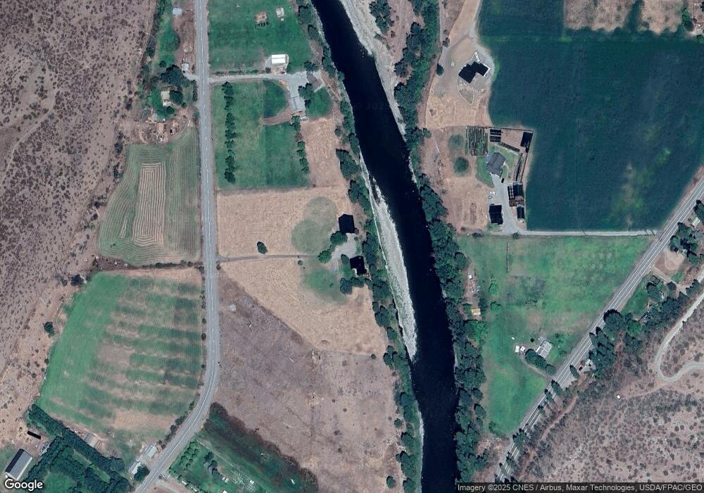
Map
Nearby Homes
- 54B Ross Rd Unit B
- 48 Thurlow Rd
- 245 Twisp Carlton Rd
- 2992 Washington 153
- 87 Vintin Rd
- 121 Finley Canyon Rd
- 1941 Washington 153
- 1 Hwy 153
- 1221 Riverside Ave
- 1110 Riverside Ave
- 0 Lot 2 Amended Surface Short Plat
- 805 Marble St
- 318 Lombard St
- 136 Johnson St
- 115 Johnson St N Unit 1,2,3
- 140 Twisp Ave W Unit 204
- Hwy 153
- 2081 Washington 153
- 14 Maverick Ln
- 88 TBD Gold Creek Rd
- 482 Twisp Carlton Rd
- 454 Twisp Carlton Rd
- 2682 State Route 153
- 2681 State Route 153
- 29 Buckboard Ln
- 453 Twisp Carlton Rd
- 453 Twisp Carlton Rd Unit A
- 502 Twisp Carlton Rd
- 2694 State Route 153
- 2698 Highway 153
- 2713 State Route 153
- 2692 Highway 153
- 2692 State Route 153
- 444 Twisp Carlton Rd
- 2653 State Route 153
- 437 Twisp Carlton Rd
- 22 Buckboard Ln
- 95 Yellow Jacket Rd
- 76 Yellowjacket Rd
- 2645 Highway 153
Your Personal Tour Guide
Ask me questions while you tour the home.