470 White Rock Rd Corsicana, TX 75109
Estimated Value: $912,677 - $1,213,000
--
Bed
--
Bath
3,174
Sq Ft
$331/Sq Ft
Est. Value
About This Home
This home is located at 470 White Rock Rd, Corsicana, TX 75109 and is currently estimated at $1,051,919, approximately $331 per square foot. 470 White Rock Rd is a home with nearby schools including Mildred Elementary School and Mildred High School.
Ownership History
Date
Name
Owned For
Owner Type
Purchase Details
Closed on
Jan 3, 2024
Sold by
Bardsley Michael Stephen and Bardsley Maura Ann
Bought by
Bardsley Family Trust and Bardsley
Current Estimated Value
Purchase Details
Closed on
Mar 7, 2007
Sold by
Jackson Leisure Properties Lp
Bought by
Beeman David C
Home Financials for this Owner
Home Financials are based on the most recent Mortgage that was taken out on this home.
Original Mortgage
$115,920
Interest Rate
6.25%
Mortgage Type
Purchase Money Mortgage
Create a Home Valuation Report for This Property
The Home Valuation Report is an in-depth analysis detailing your home's value as well as a comparison with similar homes in the area
Home Values in the Area
Average Home Value in this Area
Purchase History
| Date | Buyer | Sale Price | Title Company |
|---|---|---|---|
| Bardsley Family Trust | -- | None Listed On Document | |
| Beeman David C | -- | None Available |
Source: Public Records
Mortgage History
| Date | Status | Borrower | Loan Amount |
|---|---|---|---|
| Previous Owner | Beeman David C | $115,920 |
Source: Public Records
Tax History Compared to Growth
Tax History
| Year | Tax Paid | Tax Assessment Tax Assessment Total Assessment is a certain percentage of the fair market value that is determined by local assessors to be the total taxable value of land and additions on the property. | Land | Improvement |
|---|---|---|---|---|
| 2025 | $11,761 | $763,250 | $154,900 | $793,720 |
| 2024 | $10,692 | $693,864 | $113,260 | $885,010 |
| 2023 | $9,039 | $630,785 | $113,260 | $850,960 |
| 2022 | $9,628 | $893,910 | $87,120 | $806,790 |
| 2021 | $10,140 | $521,310 | $87,120 | $434,190 |
| 2020 | $10,137 | $499,530 | $65,340 | $434,190 |
| 2019 | $10,281 | $480,070 | $65,340 | $414,730 |
| 2018 | $10,075 | $496,300 | $65,340 | $430,960 |
| 2017 | $10,058 | $496,300 | $65,340 | $430,960 |
| 2016 | $11,336 | $559,410 | $120,000 | $439,410 |
| 2015 | -- | $550,960 | $120,000 | $430,960 |
| 2014 | -- | $145,500 | $120,000 | $25,500 |
Source: Public Records
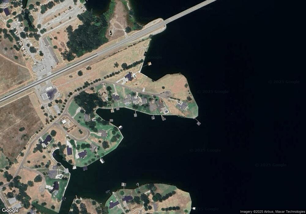
Map
Nearby Homes
- Lot 35 White Rock Rd
- 2 Acres +/- SE County Road 3186
- Lot 2-R Moonlight Point
- 122 Moonlight Point
- 9900 Northshore Blvd Unit 3307
- 9900 Northshore Blvd Unit 3105
- 0 Shady Ln
- 3001 Rock Rd
- Lot 618 Spur 294
- Lot 602 Clear Water Ct
- TBD Cowboy Dr
- 9820 S Us Highway 287
- 9820 Highway 287
- Lot 301 Cowboy Dr
- 110 SE Private Road 3178
- 1194 the Shores Dr
- Lot 326 the Shores Dr
- Lot 249 the Shores Dr
- Lot 411 Sailboat Dr
- TBD SE Private Road 3178
- 472 White Rock Rd
- 458 White Rock Rd
- TBD Lot35 White Rock
- 452 White Rock Rd
- 480 White Rock Rd
- 440 White Rock Rd
- 445 White Rock Rd
- 430 White Rock Rd
- 132 Bayview Cir Unit 18
- 132 Bayview Cir Unit 17
- L 18 Bayview Cir
- 148 Bayview Cir
- 148 Bayview Cir
- L 12 Bayview Cir
- Lot 11 Bayview Cir
- Lot 12 Bayview Cir
- L 16 Bayview Cir
- 18 Bayview Cir
- Lot 14 Bayview Cir
- 11 Bayview Cir