4700 Kenworth Rd Roanoke, VA 24019
--
Bed
--
Bath
25,826
Sq Ft
6.96
Acres
About This Home
This home is located at 4700 Kenworth Rd, Roanoke, VA 24019. 4700 Kenworth Rd is a home located in Roanoke County with nearby schools including Glen Cove Elementary School, Northside Middle School, and Northside High School.
Ownership History
Date
Name
Owned For
Owner Type
Purchase Details
Closed on
Aug 28, 2020
Sold by
Truck Enterprises Inc
Bought by
Morgan Property Investment Llc
Home Financials for this Owner
Home Financials are based on the most recent Mortgage that was taken out on this home.
Original Mortgage
$29,471,250
Outstanding Balance
$26,153,785
Interest Rate
2.9%
Mortgage Type
Purchase Money Mortgage
Create a Home Valuation Report for This Property
The Home Valuation Report is an in-depth analysis detailing your home's value as well as a comparison with similar homes in the area
Home Values in the Area
Average Home Value in this Area
Purchase History
| Date | Buyer | Sale Price | Title Company |
|---|---|---|---|
| Morgan Property Investment Llc | $3,930,000 | Chicago Title Insurance Co |
Source: Public Records
Mortgage History
| Date | Status | Borrower | Loan Amount |
|---|---|---|---|
| Open | Morgan Property Investment Llc | $29,471,250 |
Source: Public Records
Tax History Compared to Growth
Tax History
| Year | Tax Paid | Tax Assessment Tax Assessment Total Assessment is a certain percentage of the fair market value that is determined by local assessors to be the total taxable value of land and additions on the property. | Land | Improvement |
|---|---|---|---|---|
| 2025 | $23,571 | $2,288,400 | $800,900 | $1,487,500 |
| 2024 | $23,322 | $2,242,500 | $800,900 | $1,441,600 |
| 2023 | $23,316 | $2,199,600 | $800,900 | $1,398,700 |
| 2022 | $23,967 | $2,198,800 | $800,900 | $1,397,900 |
| 2021 | $23,967 | $2,198,800 | $800,900 | $1,397,900 |
| 2020 | $23,920 | $2,194,500 | $800,900 | $1,393,600 |
| 2019 | $23,648 | $2,169,500 | $800,900 | $1,368,600 |
| 2018 | $22,934 | $2,131,400 | $800,900 | $1,330,500 |
| 2017 | $22,934 | $2,104,000 | $800,900 | $1,303,100 |
| 2016 | $21,426 | $1,965,700 | $690,000 | $1,275,700 |
| 2015 | $21,272 | $1,951,600 | $660,000 | $1,291,600 |
| 2014 | $20,969 | $1,923,800 | $660,000 | $1,263,800 |
Source: Public Records
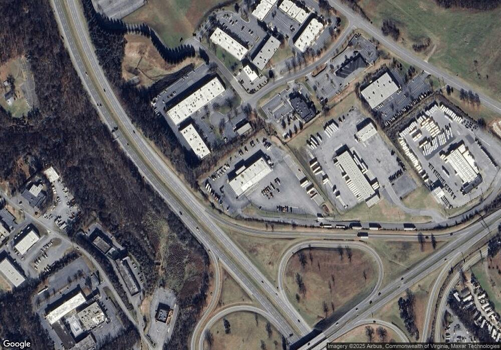
Map
Nearby Homes
- 6720 Albert Rd
- 3531 Peters Creek Rd NW Unit 218
- 5111 Norseman Dr
- 3509 Peters Creek Rd NW
- 5019 Craun Ln
- 6854 Autumn Wood Ln
- 5204 Oakmont Cir
- 5215 Summer Dr
- 5226 N Spring Dr
- 7171 Wild Cherry Ct
- 7130 Crosstimbers Trail
- 7214 Crosstimbers Trail
- 5107 N Spring Dr NW
- 7204 Snowberry Cir
- 5326 Eveningwood Ln
- 7249 Scarlet Oak Dr
- 5459 N Lake Dr
- 6825 Woodcreeper Dr
- 5223 Quail Hollow Cir
- 4872 Lantern St
- 5304 Valleypark Dr
- 5310 Valleypark Dr
- 5240 Valleypark Dr
- 4668 Kenworth Rd
- 5241 Valleypark Dr
- 5251 Concourse Dr
- 5220 Valleypark Dr
- 5221 Valleypark Dr
- 5162 Valleypointe Pkwy
- 6621 Thirlane Rd
- 6617 Thirlane Rd
- 6739 Thirlane Rd NW
- 6626 Thirlane Rd
- 4636 Kenworth Rd
- 6803 Thirlane Rd
- 6737 Thirlane Rd
- 6608 Thirlane Rd
- 6638 Thirlane Rd
- 6616 Thirlane Rd
- 6500 Thirlane Rd