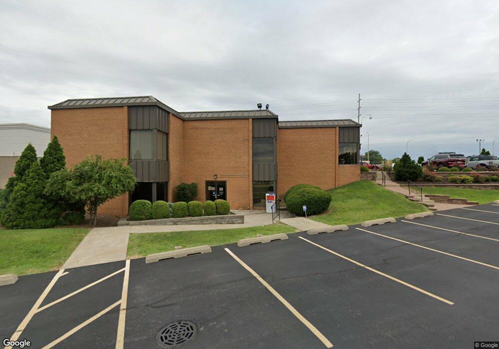
4700 N Sterling Ave Unit 1 Peoria, IL 61615
North Peoria Neighborhood
--
Bed
--
Bath
--
Sq Ft
--
Built
About This Home
This home is located at 4700 N Sterling Ave Unit 1, Peoria, IL 61615. 4700 N Sterling Ave Unit 1 is a home located in Peoria County with nearby schools including Dr Maude A Sanders Primary School, Sterling Middle School, and Richwoods High School.
Ownership History
Date
Name
Owned For
Owner Type
Purchase Details
Closed on
Jun 10, 2019
Sold by
Coulter Companies Inc
Bought by
Coulter Properties Inc
Purchase Details
Closed on
Jun 5, 2019
Sold by
Coulter Companies Inc
Bought by
Coulter Properties Inc
Purchase Details
Closed on
Apr 3, 2019
Sold by
Department Of Transportation
Bought by
Coulter Companies Inc
Create a Home Valuation Report for This Property
The Home Valuation Report is an in-depth analysis detailing your home's value as well as a comparison with similar homes in the area
Home Values in the Area
Average Home Value in this Area
Purchase History
| Date | Buyer | Sale Price | Title Company |
|---|---|---|---|
| Coulter Properties Inc | $90,000 | Elias Meginnes & Seghetti Pc | |
| Coulter Properties Inc | $90,000 | None Listed On Document | |
| Coulter Properties Inc | $90,000 | Elias Meginnes & Seghetti Pc | |
| Coulter Companies Inc | $90,000 | -- | |
| Coulter Companies Inc | $90,000 | None Listed On Document |
Source: Public Records
Tax History Compared to Growth
Tax History
| Year | Tax Paid | Tax Assessment Tax Assessment Total Assessment is a certain percentage of the fair market value that is determined by local assessors to be the total taxable value of land and additions on the property. | Land | Improvement |
|---|---|---|---|---|
| 2024 | $47,379 | $523,800 | $234,610 | $289,190 |
| 2023 | $45,213 | $480,550 | $215,240 | $265,310 |
| 2022 | $45,869 | $475,520 | $210,660 | $264,860 |
| 2021 | $47,274 | $475,520 | $210,660 | $264,860 |
| 2020 | $47,648 | $475,520 | $210,660 | $264,860 |
| 2019 | $48,340 | $485,230 | $214,960 | $270,270 |
| 2018 | $42,828 | $439,750 | $169,440 | $270,310 |
| 2017 | $42,822 | $444,190 | $171,150 | $273,040 |
| 2016 | $41,629 | $444,190 | $171,150 | $273,040 |
| 2015 | $40,423 | $435,480 | $167,790 | $267,690 |
| 2014 | $39,941 | $439,130 | $169,420 | $269,710 |
| 2013 | -- | $439,130 | $169,420 | $269,710 |
Source: Public Records
Map
Nearby Homes
- 2627 Eugenie Ave
- 5003 N Mansfield Dr
- 2724 W Scenic Dr
- 4808 N Glen Ct
- 2505 W Camille St
- 5225 N Hamilton Rd
- 1910 W Sunnyview Dr
- 5213 N Merrimac Ave
- 5413 N Hamilton Rd
- 5419 N Renwood Ave
- 5317 N Woodview Ave
- 5332 N Big Hollow Rd
- 1914 W White Oak Dr
- 2922 W Larchmont Ln
- 4412 NE Scenic Dr
- 2910 W Westport Rd
- 5506 N Longwood Dr
- 2135 W Orlando Dr
- 3808 N Walround Ln
- 4036 N Westport Ct
- 4700 N Sterling Ave
- 4701 W War Memorial Dr
- 4749 N Sterling Ave
- 4616 N Sterling Ave
- 4640 N Brandywine Dr
- 4650 N Brandywine Dr
- 2302 W Glen Ave
- 2524 W Farrelly Ave Unit B
- 2524 W Farrelly Ave Unit 2
- 2524 W Farrelly Ave
- 2524 W Farrelly Ave Unit C
- 4516 N Sterling Ave Unit 320
- 4516 N Sterling Ave Unit 500
- 2527 W Scenic Dr
- 2604 W Farrelly Ave
- 2238 W Glen Ave
- 2611 W Eugenia Ave
- 2522 W Scenic Dr
- 2533 W Scenic Dr
- 2528 W Scenic Dr