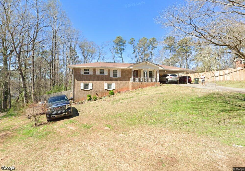
4700 Nelda Dr Unit 16 Austell, GA 30106
Estimated Value: $100,000 - $285,000
5
Beds
4
Baths
1,270
Sq Ft
$181/Sq Ft
Est. Value
About This Home
This home is located at 4700 Nelda Dr Unit 16, Austell, GA 30106 and is currently estimated at $229,926, approximately $181 per square foot. 4700 Nelda Dr Unit 16 is a home located in Cobb County with nearby schools including Deerwood Elementary School, Clarkdale Elementary School, and Cooper Middle School.
Ownership History
Date
Name
Owned For
Owner Type
Purchase Details
Closed on
Aug 3, 2004
Sold by
Washington Mutual Bank Fa
Bought by
Federal National Mortgage Association
Current Estimated Value
Create a Home Valuation Report for This Property
The Home Valuation Report is an in-depth analysis detailing your home's value as well as a comparison with similar homes in the area
Home Values in the Area
Average Home Value in this Area
Purchase History
| Date | Buyer | Sale Price | Title Company |
|---|---|---|---|
| Federal National Mortgage Association | -- | -- | |
| Washington Mutual Bank Fa | $125,676 | -- |
Source: Public Records
Tax History Compared to Growth
Tax History
| Year | Tax Paid | Tax Assessment Tax Assessment Total Assessment is a certain percentage of the fair market value that is determined by local assessors to be the total taxable value of land and additions on the property. | Land | Improvement |
|---|---|---|---|---|
| 2025 | $2,412 | $105,460 | $30,000 | $75,460 |
| 2024 | $2,170 | $94,248 | $20,000 | $74,248 |
| 2023 | $1,273 | $77,912 | $8,000 | $69,912 |
| 2022 | $1,830 | $77,912 | $8,000 | $69,912 |
| 2021 | $1,448 | $60,468 | $8,000 | $52,468 |
| 2020 | $1,171 | $47,840 | $8,000 | $39,840 |
| 2019 | $1,171 | $47,840 | $8,000 | $39,840 |
| 2018 | $1,171 | $47,840 | $8,000 | $39,840 |
| 2017 | $595 | $29,628 | $8,000 | $21,628 |
| 2016 | $596 | $29,628 | $8,000 | $21,628 |
| 2015 | $753 | $34,392 | $8,400 | $25,992 |
| 2014 | $759 | $34,392 | $0 | $0 |
Source: Public Records
Map
Nearby Homes