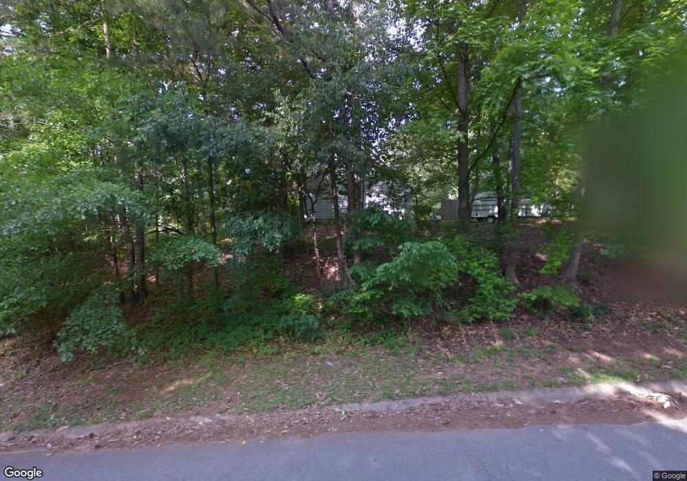
4701 Bristol Dr SE Unit 1 Conyers, GA 30094
Estimated Value: $229,653 - $244,000
3
Beds
2
Baths
1,596
Sq Ft
$149/Sq Ft
Est. Value
About This Home
This home is located at 4701 Bristol Dr SE Unit 1, Conyers, GA 30094 and is currently estimated at $238,163, approximately $149 per square foot. 4701 Bristol Dr SE Unit 1 is a home located in Rockdale County with nearby schools including Barksdale Elementary School, Gen. Ray Davis Middle School, and Salem High School.
Ownership History
Date
Name
Owned For
Owner Type
Purchase Details
Closed on
Oct 1, 2003
Sold by
Danya Michael
Bought by
Danya Michael and Danya Kimberly
Current Estimated Value
Purchase Details
Closed on
Mar 18, 2002
Sold by
Veal Patricia K and Veal Bridgette J
Bought by
Danya Chael
Home Financials for this Owner
Home Financials are based on the most recent Mortgage that was taken out on this home.
Original Mortgage
$109,721
Interest Rate
7.16%
Mortgage Type
FHA
Create a Home Valuation Report for This Property
The Home Valuation Report is an in-depth analysis detailing your home's value as well as a comparison with similar homes in the area
Home Values in the Area
Average Home Value in this Area
Purchase History
| Date | Buyer | Sale Price | Title Company |
|---|---|---|---|
| Danya Michael | -- | -- | |
| Danya Chael | $111,500 | -- |
Source: Public Records
Mortgage History
| Date | Status | Borrower | Loan Amount |
|---|---|---|---|
| Previous Owner | Danya Chael | $109,721 |
Source: Public Records
Tax History Compared to Growth
Tax History
| Year | Tax Paid | Tax Assessment Tax Assessment Total Assessment is a certain percentage of the fair market value that is determined by local assessors to be the total taxable value of land and additions on the property. | Land | Improvement |
|---|---|---|---|---|
| 2024 | $1,973 | $84,960 | $16,880 | $68,080 |
| 2023 | $1,608 | $73,200 | $14,960 | $58,240 |
| 2022 | $1,287 | $60,680 | $14,240 | $46,440 |
| 2021 | $951 | $45,640 | $8,360 | $37,280 |
| 2020 | $916 | $45,520 | $8,240 | $37,280 |
| 2019 | $634 | $35,600 | $6,560 | $29,040 |
| 2018 | $510 | $31,480 | $5,160 | $26,320 |
| 2017 | $296 | $24,440 | $4,520 | $19,920 |
| 2016 | $273 | $24,440 | $4,520 | $19,920 |
| 2015 | $248 | $23,520 | $3,600 | $19,920 |
| 2014 | $234 | $23,844 | $3,600 | $20,244 |
| 2013 | -- | $32,488 | $6,000 | $26,488 |
Source: Public Records
Map
Nearby Homes
- 570 Bell Rd SE
- 510 Bell Rd SE Unit 1
- 495 Oglesby Bridge Rd SE
- 604 Hamlet Ct SE
- 550 Oglesby Bridge Rd SE
- 4797 Hemlock Dr SE
- 4811 W Lake Dr SE
- 824 Cedar Lake Dr SE
- 385 Oglesby Bridge Rd SE
- 4670 Cedar Brook Dr SE
- 801 Greenwood Trail SE
- 4938 Lake Forest Dr SE
- 4773 Bell Cir SE
- 4710 Cedar Brook Dr SE
- 821 Greenwood Trail SE
- 1023 Plantation Ct SE
- 1038 Plantation Blvd SE
- 4931 W Lake Dr SE
- 4822 Navajo Trail SE
- 580 Bell Rd SE
- 4702 Bristol Dr SE
- 4691 Bristol Dr SE
- 571 Windsor Dr SE
- 4660 W Lake Dr SE
- 4690 Bristol Dr SE
- 620 Bell Rd SE
- 561 Windsor Dr SE
- 560 Bell Rd SE Unit 1
- 4670 W Lake Dr SE
- 601 Windsor Dr SE
- 4781 Northbrook Ct
- 551 Windsor Dr SE
- 630 Bell Rd SE Unit 1
- 550 Bell Rd SE
- 4669 Bristol Dr SE
- 4651 W Lake Dr SE
- 4771 Northbrook Ct
- 603 Windsor Dr SE
- 543 Windsor Dr SE
