4701 Buffalo Rd Mount Airy, MD 21771
Estimated Value: $477,000 - $873,375
Studio
2
Baths
2,610
Sq Ft
$259/Sq Ft
Est. Value
About This Home
This home is located at 4701 Buffalo Rd, Mount Airy, MD 21771 and is currently estimated at $675,188, approximately $258 per square foot. 4701 Buffalo Rd is a home located in Carroll County with nearby schools including Winfield Elementary School, Mount Airy Middle School, and South Carroll High School.
Ownership History
Date
Name
Owned For
Owner Type
Purchase Details
Closed on
May 4, 2006
Sold by
Schulte Fred W
Bought by
Dobbie William J and Dobbie Melinda J
Current Estimated Value
Purchase Details
Closed on
Apr 24, 2006
Sold by
Schulte Fred W
Bought by
Dobbie William J and Dobbie Melinda J
Purchase Details
Closed on
Oct 20, 2005
Sold by
Schulte Fred W
Bought by
Schulte Fred W and Schulte Christel K
Purchase Details
Closed on
Oct 21, 2004
Sold by
Schulte Fred W
Bought by
Williamj Dobbie and Dobbie Melinga J
Purchase Details
Closed on
Nov 2, 2000
Sold by
Schulte Fred W
Bought by
Schulte Fred W and Schulte Christel K
Create a Home Valuation Report for This Property
The Home Valuation Report is an in-depth analysis detailing your home's value as well as a comparison with similar homes in the area
Purchase History
| Date | Buyer | Sale Price | Title Company |
|---|---|---|---|
| Dobbie William J | -- | -- | |
| Dobbie William J | -- | -- | |
| Schulte Fred W | -- | -- | |
| Williamj Dobbie | $90,000 | -- | |
| Schulte Fred W | -- | -- |
Source: Public Records
Tax History
| Year | Tax Paid | Tax Assessment Tax Assessment Total Assessment is a certain percentage of the fair market value that is determined by local assessors to be the total taxable value of land and additions on the property. | Land | Improvement |
|---|---|---|---|---|
| 2025 | $4,346 | $384,933 | $0 | $0 |
| 2024 | $4,141 | $366,100 | $199,400 | $166,700 |
| 2023 | $3,975 | $351,333 | $0 | $0 |
| 2022 | $3,816 | $336,567 | $0 | $0 |
| 2021 | $7,513 | $321,800 | $159,400 | $162,400 |
| 2020 | $3,664 | $321,800 | $159,400 | $162,400 |
| 2019 | $3,696 | $321,800 | $159,400 | $162,400 |
| 2018 | $3,808 | $334,700 | $159,400 | $175,300 |
| 2017 | $3,697 | $324,767 | $0 | $0 |
| 2016 | -- | $314,833 | $0 | $0 |
| 2015 | -- | $304,900 | $0 | $0 |
| 2014 | -- | $302,033 | $0 | $0 |
Source: Public Records
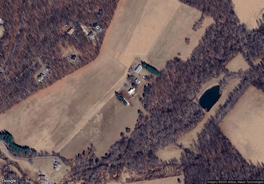
Map
Nearby Homes
- 4525 Roop Rd
- 3222 Kimberly Dr
- 15539 Liberty Rd
- 4814 Ridge Rd
- 3895 Buffalo Rd
- 3816 A Jim Smith Ln
- 4328 Ridge Rd Unit 13
- 4328 Ridge Rd Unit 14
- 2613 Liberty Rd
- 2514 W Liberty Rd
- 2507 Gillis Rd
- 5730 Ridge Rd
- 3007 Merle Ct
- 0 Cabbage Spring Rd
- 4505 Gray Horse Dr
- 7275 Hattery Farm Ct
- 6181 Challedon Cir
- 3410 Tuckaway Dr
- 3174 Cardinal Dr
- 5905 Kim Ct
- 3545 Secluded Spring Dr
- 3540 Secluded Spring Dr
- 3555 Secluded Spring Dr
- 4677 Buffalo Rd
- 4717 Buffalo Rd
- 3550 Secluded Spring Dr
- 4421 Buffalo Rd
- 4630 Buffalo Rd
- 4640 Buffalo Rd
- 0 Buffalo Rd Unit FR8242695
- 4650 Buffalo Rd
- 4500 Buffalo Rd
- 4660 Buffalo Rd
- 4723 Buffalo Rd
- 4412 Buffalo Rd
- 0 Buffalo Rd Unit CR6860605
- 4408 Buffalo Rd
- 4406 Buffalo Rd
- 4400 Roop Rd
- 4404 Buffalo Rd
Your Personal Tour Guide
Ask me questions while you tour the home.