Estimated Value: $240,000 - $359,000
3
Beds
2
Baths
1,832
Sq Ft
$170/Sq Ft
Est. Value
About This Home
This home is located at 4701 Old Route 39 NW, Dover, OH 44622 and is currently estimated at $312,116, approximately $170 per square foot. 4701 Old Route 39 NW is a home located in Tuscarawas County with nearby schools including Dover High School, Tuscarawas Central Catholic Elementary School, and Stony Point School.
Ownership History
Date
Name
Owned For
Owner Type
Purchase Details
Closed on
Aug 31, 2022
Sold by
Miller Kenneth L and Miller Shannon J
Bought by
Alberts-Renner Zachary Trent and Renner Loretta L
Current Estimated Value
Home Financials for this Owner
Home Financials are based on the most recent Mortgage that was taken out on this home.
Original Mortgage
$120,000
Outstanding Balance
$113,922
Interest Rate
4.5%
Mortgage Type
New Conventional
Estimated Equity
$198,195
Purchase Details
Closed on
May 21, 2001
Sold by
Renner Donna J
Bought by
Miller Kenneth L and Miller Shannon L
Home Financials for this Owner
Home Financials are based on the most recent Mortgage that was taken out on this home.
Original Mortgage
$108,750
Interest Rate
7.02%
Mortgage Type
New Conventional
Purchase Details
Closed on
Dec 7, 1990
Sold by
Renner Ross R and Renner Donna J
Bought by
Renner Donna J and Miller Shannon L
Create a Home Valuation Report for This Property
The Home Valuation Report is an in-depth analysis detailing your home's value as well as a comparison with similar homes in the area
Home Values in the Area
Average Home Value in this Area
Purchase History
| Date | Buyer | Sale Price | Title Company |
|---|---|---|---|
| Alberts-Renner Zachary Trent | $170,000 | -- | |
| Alberts-Renner Zachary Trent | $170,000 | Alban Title | |
| Miller Kenneth L | $145,000 | -- | |
| Renner Donna J | -- | -- |
Source: Public Records
Mortgage History
| Date | Status | Borrower | Loan Amount |
|---|---|---|---|
| Open | Alberts-Renner Zachary Trent | $120,000 | |
| Closed | Alberts-Renner Zachary Trent | $120,000 | |
| Previous Owner | Miller Kenneth L | $108,750 |
Source: Public Records
Tax History Compared to Growth
Tax History
| Year | Tax Paid | Tax Assessment Tax Assessment Total Assessment is a certain percentage of the fair market value that is determined by local assessors to be the total taxable value of land and additions on the property. | Land | Improvement |
|---|---|---|---|---|
| 2024 | $3,224 | $79,400 | $16,660 | $62,740 |
| 2023 | $3,224 | $226,870 | $47,600 | $179,270 |
| 2022 | $3,257 | $79,405 | $16,660 | $62,745 |
| 2021 | $2,786 | $64,054 | $14,809 | $49,245 |
| 2020 | $2,787 | $64,054 | $14,809 | $49,245 |
| 2019 | $2,808 | $64,054 | $14,809 | $49,245 |
| 2018 | $2,494 | $54,060 | $12,500 | $41,560 |
| 2017 | $2,494 | $54,060 | $12,500 | $41,560 |
| 2016 | $2,493 | $54,060 | $12,500 | $41,560 |
| 2014 | $2,235 | $49,400 | $10,410 | $38,990 |
| 2013 | $2,235 | $49,400 | $10,410 | $38,990 |
Source: Public Records
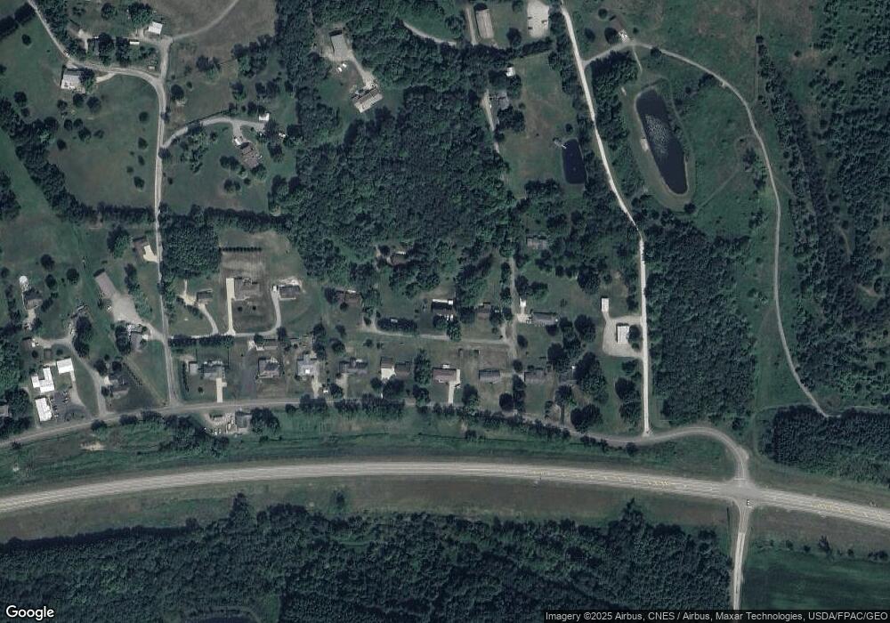
Map
Nearby Homes
- 5827 Old Route 39 NW
- 4029 Minard Rd NW
- 0 Swonger Rd Unit 5161456
- 0 Swonger Rd Unit 5161457
- 5181 State Route 516 NW
- 0 Bair Rd NW Unit 5124469
- 0 Bair Rd NW Unit 5124477
- 0 Bair Rd NW Unit 5124464
- 0 Bair Rd NW Unit 5124485
- 0 Bair Rd NW Unit 5124339
- 0 Bair Rd NW Unit 5124397
- 0 Bair Rd NW Unit 5124402
- 0 Bair Rd NW Unit 5124415
- 0 Bair Rd NW Unit 5124421
- 2180 Kimberley Dr NW
- 159 Charles Dr
- 0000 Red Hill Rd NW
- 1592 Pleasant View Dr NW
- 500 W 13th St
- 1411 Chestnut St
- 4657 Old Route 39 NW
- 4731 Old Route 39 NW
- 4691 Old Route 39 NW
- 4715 Old Route 39 NW
- 4667 Old Route 39 NW
- 4749 Old Route 39 NW
- 4641 Old Route 39 NW
- 4739 Old Route 39 NW
- 4631 Old Route 39 NW
- 4651 Old Route 39 NW
- 4631 Old Route 39 NW
- 4769 Old Route 39 NW
- 1849 Gordon Rd NW
- 4621 Old Route 39 NW
- 4787 Old Route 39 NW
- 1851 Gordon Rd NW
- 4649 Old Route 39 NW
- 999 Old Rt 39 NW
- 4653 Old Route 39 NW
- 4815 Old Route 39 NW