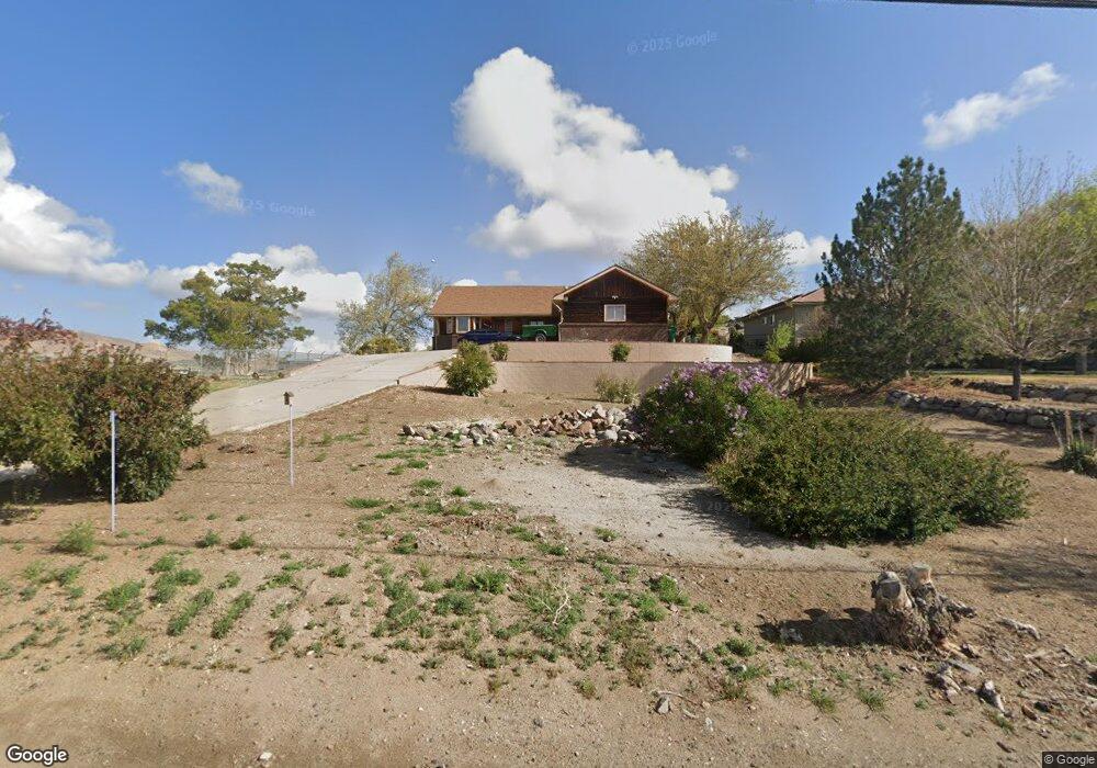
4701 Wedekind Rd Sparks, NV 89431
Wildcreek NeighborhoodEstimated Value: $700,121 - $763,000
4
Beds
2
Baths
2,166
Sq Ft
$340/Sq Ft
Est. Value
About This Home
This home is located at 4701 Wedekind Rd, Sparks, NV 89431 and is currently estimated at $735,530, approximately $339 per square foot. 4701 Wedekind Rd is a home located in Washoe County with nearby schools including Bernice Mathews Elementary School, Fred W. Traner Middle School, and Procter R. Hug High School.
Ownership History
Date
Name
Owned For
Owner Type
Purchase Details
Closed on
May 29, 1997
Sold by
Mcdyre Daniel B and Mcdyre Dorothy P
Bought by
Griffin Wesley W and Griffin Elizabeth C
Current Estimated Value
Home Financials for this Owner
Home Financials are based on the most recent Mortgage that was taken out on this home.
Original Mortgage
$208,800
Outstanding Balance
$25,511
Interest Rate
6.25%
Estimated Equity
$710,019
Create a Home Valuation Report for This Property
The Home Valuation Report is an in-depth analysis detailing your home's value as well as a comparison with similar homes in the area
Home Values in the Area
Average Home Value in this Area
Purchase History
| Date | Buyer | Sale Price | Title Company |
|---|---|---|---|
| Griffin Wesley W | $261,000 | Western Title Company Inc |
Source: Public Records
Mortgage History
| Date | Status | Borrower | Loan Amount |
|---|---|---|---|
| Open | Griffin Wesley W | $208,800 |
Source: Public Records
Tax History Compared to Growth
Tax History
| Year | Tax Paid | Tax Assessment Tax Assessment Total Assessment is a certain percentage of the fair market value that is determined by local assessors to be the total taxable value of land and additions on the property. | Land | Improvement |
|---|---|---|---|---|
| 2025 | $4,166 | $149,404 | $60,900 | $88,504 |
| 2024 | $4,044 | $151,429 | $60,900 | $90,529 |
| 2023 | $4,044 | $143,010 | $56,700 | $86,310 |
| 2022 | $3,926 | $127,492 | $54,558 | $72,934 |
| 2021 | $3,814 | $107,959 | $34,398 | $73,561 |
| 2020 | $3,702 | $107,302 | $32,550 | $74,752 |
| 2019 | $3,595 | $106,518 | $32,550 | $73,968 |
| 2018 | $3,486 | $94,890 | $21,630 | $73,260 |
| 2017 | $3,464 | $94,425 | $20,370 | $74,055 |
| 2016 | $3,376 | $94,867 | $19,110 | $75,757 |
| 2015 | $3,375 | $94,811 | $17,094 | $77,717 |
| 2014 | $3,280 | $88,961 | $12,810 | $76,151 |
| 2013 | -- | $87,809 | $13,818 | $73,991 |
Source: Public Records
Map
Nearby Homes
- 0 N Mccarran Blvd Unit 250052909
- 1731 Gault Way Unit D
- 3269 Valley Forge Way
- 1345 Plymouth Way
- 1125 Dodson Way
- 1595 York Way
- 3252 Holman Way
- 1160 York Way
- 5530 High Rock Way
- 2154 Oppio St
- 1110 Xman Way
- 1799 Vance Way
- 1655 Byrd Dr
- 3516 Brassie Dr
- 3230 Creekside Ln Unit 1
- 5650 Wedekind Rd
- 3116 Sterling Ridge Cir
- 780 Emerson Way
- 1124 Sbragia Way
- 1023 Tyler Way
- 4705 Wedekind Rd
- 1572 Gault Way Unit B
- 1570 Gault Way
- 1590 Gault Way
- 1592 Gault Way Unit B
- 1600 Gault Way Unit C
- 1602 Gault Way Unit D
- 1560 Gault Way
- 1552 Gault Way Unit B
- 1622 Gault Way Unit B
- 1542 Gault Way
- 1642 Gault Way
- 1532 Gault Way Unit B
- 1650 Gault Way Unit A
- 1530 Gault Way
- 1652 Gault Way Unit B
- 1660 Gault Way Unit A
- 4620 445 Apple St
- 1522 Gault Way
- 1662 Gault Way