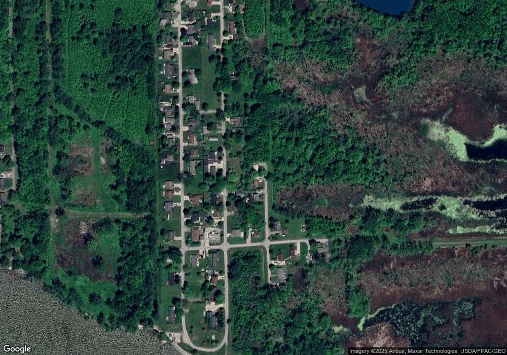
4703 Maple St Newport, MI 48166
Estimated Value: $191,000 - $245,000
4
Beds
1
Bath
984
Sq Ft
$215/Sq Ft
Est. Value
About This Home
This home is located at 4703 Maple St, Newport, MI 48166 and is currently estimated at $211,236, approximately $214 per square foot. 4703 Maple St is a home located in Monroe County with nearby schools including Jefferson High School.
Ownership History
Date
Name
Owned For
Owner Type
Purchase Details
Closed on
Jun 12, 2024
Sold by
Barber Donna Dyonne
Bought by
Parker William F and Parker Sharon L
Current Estimated Value
Home Financials for this Owner
Home Financials are based on the most recent Mortgage that was taken out on this home.
Original Mortgage
$171,000
Outstanding Balance
$168,900
Interest Rate
7.22%
Mortgage Type
New Conventional
Estimated Equity
$42,336
Purchase Details
Closed on
Apr 24, 2023
Sold by
Barber Donna
Bought by
Barber Donna
Purchase Details
Closed on
Dec 14, 2017
Sold by
Barbar Gerald and Barbar Donna
Bought by
Barber Gerald Glenn and Barber Donna Dyonne
Home Financials for this Owner
Home Financials are based on the most recent Mortgage that was taken out on this home.
Original Mortgage
$130,418
Interest Rate
3.95%
Mortgage Type
VA
Create a Home Valuation Report for This Property
The Home Valuation Report is an in-depth analysis detailing your home's value as well as a comparison with similar homes in the area
Home Values in the Area
Average Home Value in this Area
Purchase History
| Date | Buyer | Sale Price | Title Company |
|---|---|---|---|
| Parker William F | $190,000 | Lawyers Title Agency Of Monroe | |
| Barber Donna | -- | None Listed On Document | |
| Barber Gerald Glenn | -- | -- |
Source: Public Records
Mortgage History
| Date | Status | Borrower | Loan Amount |
|---|---|---|---|
| Open | Parker William F | $171,000 | |
| Previous Owner | Barber Gerald Glenn | $130,418 |
Source: Public Records
Tax History Compared to Growth
Tax History
| Year | Tax Paid | Tax Assessment Tax Assessment Total Assessment is a certain percentage of the fair market value that is determined by local assessors to be the total taxable value of land and additions on the property. | Land | Improvement |
|---|---|---|---|---|
| 2025 | $1,084 | $90,200 | $90,200 | $0 |
| 2024 | $358 | $75,700 | $0 | $0 |
| 2023 | $992 | $58,100 | $0 | $0 |
| 2022 | $992 | $58,100 | $0 | $0 |
| 2021 | $954 | $49,400 | $0 | $0 |
| 2020 | $970 | $45,700 | $0 | $0 |
| 2019 | $927 | $45,700 | $0 | $0 |
| 2018 | $902 | $39,600 | $0 | $0 |
| 2017 | $291 | $39,600 | $0 | $0 |
| 2016 | $875 | $36,900 | $0 | $0 |
| 2015 | $849 | $37,100 | $0 | $0 |
| 2014 | $837 | $37,100 | $0 | $0 |
| 2013 | -- | $34,500 | $0 | $0 |
Source: Public Records
Map
Nearby Homes