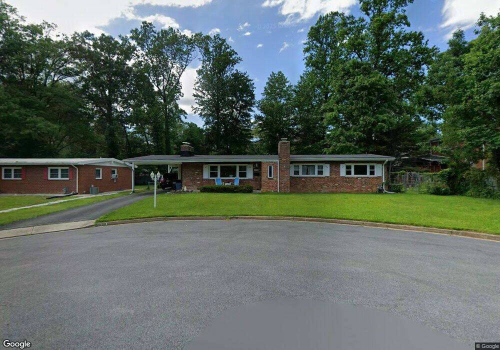
4704 Bristow Dr Annandale, VA 22003
Estimated Value: $654,000 - $816,000
--
Bed
3
Baths
1,633
Sq Ft
$455/Sq Ft
Est. Value
About This Home
This home is located at 4704 Bristow Dr, Annandale, VA 22003 and is currently estimated at $743,033, approximately $455 per square foot. 4704 Bristow Dr is a home located in Fairfax County with nearby schools including Braddock Elementary School, Poe Middle School, and Annandale High School.
Ownership History
Date
Name
Owned For
Owner Type
Purchase Details
Closed on
May 15, 1998
Sold by
Gardner Andrew and Gardner Monica H
Bought by
Hines Paul J and Hines Janet L
Current Estimated Value
Home Financials for this Owner
Home Financials are based on the most recent Mortgage that was taken out on this home.
Original Mortgage
$190,950
Outstanding Balance
$37,245
Interest Rate
7.08%
Mortgage Type
New Conventional
Estimated Equity
$705,788
Create a Home Valuation Report for This Property
The Home Valuation Report is an in-depth analysis detailing your home's value as well as a comparison with similar homes in the area
Home Values in the Area
Average Home Value in this Area
Purchase History
| Date | Buyer | Sale Price | Title Company |
|---|---|---|---|
| Hines Paul J | $201,000 | -- |
Source: Public Records
Mortgage History
| Date | Status | Borrower | Loan Amount |
|---|---|---|---|
| Open | Hines Paul J | $190,950 |
Source: Public Records
Tax History Compared to Growth
Tax History
| Year | Tax Paid | Tax Assessment Tax Assessment Total Assessment is a certain percentage of the fair market value that is determined by local assessors to be the total taxable value of land and additions on the property. | Land | Improvement |
|---|---|---|---|---|
| 2025 | $8,159 | $745,520 | $301,000 | $444,520 |
| 2024 | $8,159 | $704,260 | $271,000 | $433,260 |
| 2023 | $7,948 | $704,260 | $271,000 | $433,260 |
| 2022 | $7,458 | $652,170 | $251,000 | $401,170 |
| 2021 | $6,594 | $561,900 | $210,000 | $351,900 |
| 2020 | $6,508 | $549,900 | $198,000 | $351,900 |
| 2019 | $6,292 | $531,650 | $190,000 | $341,650 |
| 2018 | $5,823 | $506,340 | $190,000 | $316,340 |
| 2017 | $5,607 | $482,910 | $190,000 | $292,910 |
| 2016 | $5,360 | $462,640 | $181,000 | $281,640 |
| 2015 | $5,163 | $462,640 | $181,000 | $281,640 |
| 2014 | $5,042 | $452,820 | $179,000 | $273,820 |
Source: Public Records
Map
Nearby Homes
- 4753 Pomponio Place
- 4757 Pomponio Place
- 4722 Bristow Dr
- 4536 Garbo Ct
- 4541 Garbo Ct
- 7324 Auburn St
- 4546 King Edward Ct
- 7456 Madeira Place
- 7409 Adams Park Ct
- 7462 Covent Wood Ct
- 4917 Erie St
- 7230 Beverly St
- 0 Heritage Dr
- 7412 Rocky Creek Terrace
- 7404 Rocky Creek Terrace
- 7483 Little River Turnpike Unit 104
- 7209 Sipes Ln
- 5005 Ravensworth Rd
- 7753 Patriot Dr Unit 57
- 7717 Donnybrook Ct Unit 201
- 4706 Bristow Dr
- 7507 Davian Dr
- 7509 Davian Dr
- 4705 Bristow Dr
- 4708 Bristow Dr
- 4707 Bristow Dr
- 7503 Davian Dr
- 7547 Park Ln
- 7513 Davian Dr
- 7504A Davian Dr
- 7504-B Davian Dr
- 7504-A Davian Dr
- 4709 Bristow Dr
- 7506 Davian Dr
- 4710 Bristow Dr
- 7508 Davian Dr
- 7545 Park Ln
- 7510 Davian Dr
- 4704 Ravensworth Rd
- 4711 Bristow Dr