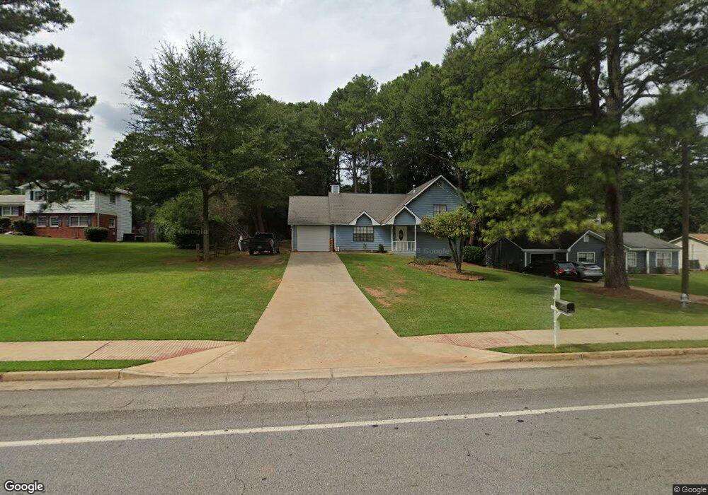
4705 Burns Rd NW Unit 2 Lilburn, GA 30047
Estimated Value: $275,000 - $346,000
3
Beds
2
Baths
883
Sq Ft
$345/Sq Ft
Est. Value
About This Home
This home is located at 4705 Burns Rd NW Unit 2, Lilburn, GA 30047 and is currently estimated at $304,257, approximately $344 per square foot. 4705 Burns Rd NW Unit 2 is a home located in Gwinnett County with nearby schools including Hopkins Elementary School, Berkmar Middle School, and Berkmar High School.
Ownership History
Date
Name
Owned For
Owner Type
Purchase Details
Closed on
May 9, 2017
Sold by
Not Provided
Bought by
Srp Sub Llc
Current Estimated Value
Purchase Details
Closed on
Dec 4, 2012
Sold by
Allen George V
Bought by
Colfin Ai Ga 1 Llc
Purchase Details
Closed on
Jun 20, 1994
Sold by
Thomas Joy W
Bought by
Allen George V Robin
Home Financials for this Owner
Home Financials are based on the most recent Mortgage that was taken out on this home.
Original Mortgage
$73,364
Interest Rate
8.51%
Mortgage Type
FHA
Create a Home Valuation Report for This Property
The Home Valuation Report is an in-depth analysis detailing your home's value as well as a comparison with similar homes in the area
Home Values in the Area
Average Home Value in this Area
Purchase History
| Date | Buyer | Sale Price | Title Company |
|---|---|---|---|
| Srp Sub Llc | -- | -- | |
| Colfin Ai Ga 1 Llc | $45,500 | -- | |
| Allen George V Robin | $75,000 | -- |
Source: Public Records
Mortgage History
| Date | Status | Borrower | Loan Amount |
|---|---|---|---|
| Previous Owner | Allen George V Robin | $73,364 |
Source: Public Records
Tax History Compared to Growth
Tax History
| Year | Tax Paid | Tax Assessment Tax Assessment Total Assessment is a certain percentage of the fair market value that is determined by local assessors to be the total taxable value of land and additions on the property. | Land | Improvement |
|---|---|---|---|---|
| 2025 | $3,707 | $95,440 | $21,600 | $73,840 |
| 2024 | $3,745 | $95,440 | $21,600 | $73,840 |
| 2023 | $3,745 | $80,120 | $21,600 | $58,520 |
| 2022 | $2,357 | $57,320 | $14,160 | $43,160 |
| 2021 | $2,376 | $57,320 | $14,160 | $43,160 |
| 2020 | $2,076 | $57,320 | $14,160 | $43,160 |
| 2019 | $2,171 | $53,560 | $14,160 | $39,400 |
| 2018 | $1,935 | $46,920 | $12,400 | $34,520 |
| 2016 | $1,326 | $37,400 | $9,600 | $27,800 |
| 2015 | $1,230 | $32,640 | $8,000 | $24,640 |
| 2014 | -- | $27,800 | $7,200 | $20,600 |
Source: Public Records
Map
Nearby Homes
- 783 Silvercreek Ct NW
- 849 Cadet Ct NW
- 1360 Dickens Rd NW
- 4716 Mossy Ln NW Unit 1
- 4596 Mossy Ln NW Unit 1
- 4608 Warners Trail Unit 3
- 1020 Park Forest Dr NW
- 1411 Indian Way NW
- 1451 Indian Way NW
- 4495 Casco Ln NW
- 4474 Casco Ln NW
- 1014 Brockdell Ct
- 1060 Heatherwood Ct
- 1097 Rock Creek Ln
- 1066 Rock Creek Ln
- 662 Brandlwood Way NW
- 1037 Dover Way
- 1049 Knights Bridge Ct
- 5277 Rosestone Dr NW
- 5016 Comanche Ct NW
- 4695 Burns Rd NW
- 4753 Burns Rd NW
- 4685 Burns Rd NW
- 880 Cadet Ct NW Unit 1
- 870 Cadet Ct NW
- 890 Cadet Ct NW
- 785 Jacksons Mill Way NW
- 860 Cadet Ct NW
- 900 Cadet Ct NW Unit 1
- 784 Jacksons Mill Way NW
- 775 Jacksons Mill Way NW
- 850 Cadet Ct NW
- 773 Silvercreek Ct NW
- 774 Jacksons Mill Way NW
- 872 Hillcrest Rd NW Unit 1
- 869 Cadet Ct NW Unit 1
- 859 Cadet Ct NW Unit 1
- 879 Cadet Ct NW
- 879 Cadet Ct NW
- 4672 Burns Rd NW Unit 3