4705 Parrau Dr Unit 59B Columbus, OH 43228
Estimated Value: $182,000 - $200,000
2
Beds
2
Baths
1,280
Sq Ft
$151/Sq Ft
Est. Value
About This Home
This home is located at 4705 Parrau Dr Unit 59B, Columbus, OH 43228 and is currently estimated at $193,409, approximately $151 per square foot. 4705 Parrau Dr Unit 59B is a home located in Franklin County with nearby schools including Bolton Crossing Elementary School, Holt Crossing Intermediate School, and Pleasant View Middle School.
Ownership History
Date
Name
Owned For
Owner Type
Purchase Details
Closed on
Apr 23, 2006
Sold by
Lane Marvin and Lane Anthereca E
Bought by
Miller Rodney G
Current Estimated Value
Home Financials for this Owner
Home Financials are based on the most recent Mortgage that was taken out on this home.
Original Mortgage
$75,000
Outstanding Balance
$43,125
Interest Rate
6.37%
Mortgage Type
Fannie Mae Freddie Mac
Estimated Equity
$150,284
Purchase Details
Closed on
Mar 31, 2000
Sold by
The Qualstan Corp
Bought by
Lane Marvin and Lane Anthereca E
Home Financials for this Owner
Home Financials are based on the most recent Mortgage that was taken out on this home.
Original Mortgage
$94,523
Interest Rate
8.31%
Mortgage Type
FHA
Create a Home Valuation Report for This Property
The Home Valuation Report is an in-depth analysis detailing your home's value as well as a comparison with similar homes in the area
Home Values in the Area
Average Home Value in this Area
Purchase History
| Date | Buyer | Sale Price | Title Company |
|---|---|---|---|
| Miller Rodney G | $75,000 | Lawyers Tit | |
| Lane Marvin | $96,700 | Transohio Title |
Source: Public Records
Mortgage History
| Date | Status | Borrower | Loan Amount |
|---|---|---|---|
| Open | Miller Rodney G | $75,000 | |
| Previous Owner | Lane Marvin | $94,523 |
Source: Public Records
Tax History Compared to Growth
Tax History
| Year | Tax Paid | Tax Assessment Tax Assessment Total Assessment is a certain percentage of the fair market value that is determined by local assessors to be the total taxable value of land and additions on the property. | Land | Improvement |
|---|---|---|---|---|
| 2024 | $2,036 | $55,830 | $10,500 | $45,330 |
| 2023 | $2,000 | $55,825 | $10,500 | $45,325 |
| 2022 | $1,683 | $34,480 | $4,550 | $29,930 |
| 2021 | $1,717 | $34,480 | $4,550 | $29,930 |
| 2020 | $1,707 | $34,480 | $4,550 | $29,930 |
| 2019 | $1,488 | $26,530 | $3,500 | $23,030 |
| 2018 | $1,465 | $26,530 | $3,500 | $23,030 |
| 2017 | $1,462 | $26,530 | $3,500 | $23,030 |
| 2016 | $1,449 | $23,950 | $3,610 | $20,340 |
| 2015 | $1,449 | $23,950 | $3,610 | $20,340 |
| 2014 | $1,450 | $23,950 | $3,610 | $20,340 |
| 2013 | $845 | $28,140 | $4,235 | $23,905 |
Source: Public Records
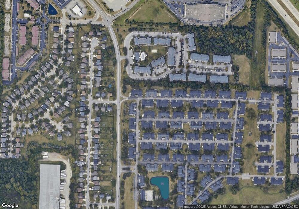
Map
Nearby Homes
- 4686 Parrau Dr Unit 64A
- 4666 Shalers Dr Unit 49C
- 4650 Parrau Dr Unit 67E
- 1865 Bashan Dr Unit 78E
- 1842 Bashan Dr Unit 75F
- 1925 Fortstone Ln Unit 1925
- 1870 Berrancher Dr Unit 1870
- 3045 Alkire Rd
- 1800 Georgesville Square Dr
- 1599 Covina Dr
- 4655 Parkwick Dr
- 2209 Owl St
- 4253 Demorest Cove Ct
- 4419 Hammerton Dr Unit 13D
- 4462 Alameda Dr
- 2360 Bloxom St
- 4483 White Leaf Way
- 2345 Demorest Rd
- 2445 Linbaugh Rd
- 4359 Honeywood Ct
- 4707 Parrau Dr
- 4709 Parrau Dr Unit 59D
- 4711 Parrau Dr Unit 59E
- 4703 Parrau Dr Unit 59A
- 4708 Shalers Dr Unit 54C
- 4710 Shalers Dr Unit 54B
- 4706 Shalers Dr Unit 54D
- 4695 Parrau Dr Unit 61D
- 4710 Parrau Dr
- 4710 Parrau Dr Unit 60C
- 4697 Parrau Dr Unit 61E
- 4714 Parrau Dr Unit 60A
- 4712 Parrau Dr
- 4712 Parrau Dr Unit 60B
- 4708 Parrau Dr Unit 60D
- 4704 Shalers Dr
- 4704 Shalers Dr Unit 54E
- 4722 Parrau Dr Unit 58D
- 4720 Parrau Dr Unit 58E
- 1915 Kyger Dr Unit 57C