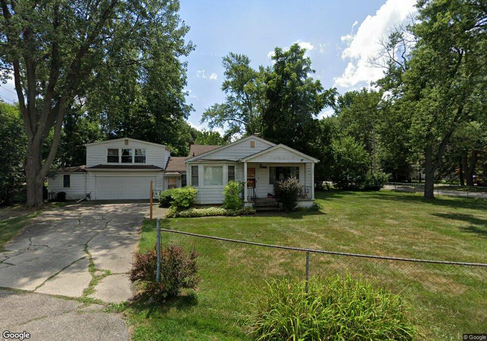
4705 Sherwell Dr Waterford, MI 48327
Waterford Township NeighborhoodEstimated Value: $189,000 - $286,000
4
Beds
1
Bath
1,370
Sq Ft
$171/Sq Ft
Est. Value
About This Home
This home is located at 4705 Sherwell Dr, Waterford, MI 48327 and is currently estimated at $233,855, approximately $170 per square foot. 4705 Sherwell Dr is a home located in Oakland County with nearby schools including Haviland Elementary School, Pierce Middle School, and Waterford Mott High School.
Ownership History
Date
Name
Owned For
Owner Type
Purchase Details
Closed on
May 27, 2021
Sold by
Netke Edward S and Barbara Netke Living Trust
Bought by
Flewelling Robert Joseph
Current Estimated Value
Home Financials for this Owner
Home Financials are based on the most recent Mortgage that was taken out on this home.
Original Mortgage
$119,816
Outstanding Balance
$90,972
Interest Rate
2.9%
Mortgage Type
New Conventional
Estimated Equity
$142,883
Purchase Details
Closed on
Jul 22, 2008
Sold by
Netke Barbara L
Bought by
Netke Barbara L and Barbara Netke Living Trust
Create a Home Valuation Report for This Property
The Home Valuation Report is an in-depth analysis detailing your home's value as well as a comparison with similar homes in the area
Home Values in the Area
Average Home Value in this Area
Purchase History
| Date | Buyer | Sale Price | Title Company |
|---|---|---|---|
| Flewelling Robert Joseph | $140,960 | American Title Agency | |
| Netke Barbara L | -- | None Available |
Source: Public Records
Mortgage History
| Date | Status | Borrower | Loan Amount |
|---|---|---|---|
| Open | Flewelling Robert Joseph | $119,816 |
Source: Public Records
Tax History Compared to Growth
Tax History
| Year | Tax Paid | Tax Assessment Tax Assessment Total Assessment is a certain percentage of the fair market value that is determined by local assessors to be the total taxable value of land and additions on the property. | Land | Improvement |
|---|---|---|---|---|
| 2024 | $1,761 | $84,000 | $0 | $0 |
| 2023 | $3,063 | $79,920 | $0 | $0 |
| 2022 | $4,110 | $74,840 | $0 | $0 |
| 2021 | $1,755 | $72,100 | $0 | $0 |
| 2020 | $1,001 | $70,480 | $0 | $0 |
| 2019 | $1,714 | $63,150 | $0 | $0 |
| 2018 | $1,701 | $58,980 | $0 | $0 |
| 2017 | $1,571 | $58,980 | $0 | $0 |
| 2016 | $1,571 | $52,010 | $0 | $0 |
| 2015 | -- | $47,900 | $0 | $0 |
| 2014 | -- | $44,860 | $0 | $0 |
| 2011 | -- | $41,090 | $0 | $0 |
Source: Public Records
Map
Nearby Homes
- 1020 Charest Ave
- 4681 Cass Elizabeth Rd
- 4682 Hawkes Ave
- 4616 Cass Elizabeth Rd
- 1036 Pelham Blvd
- 1029 Monica Place
- 4390 Cass Elizabeth Rd
- 5171 Durnham Dr
- 1062 Forest Bay Dr
- 4433 Motorway Dr
- 4405 Motorway Dr
- 1079 Forest Bay Dr
- 549 Grixdale Ln
- 1080 Forest Bay Ct Unit 114
- 00000 Muskingum
- 1396 Oregon Blvd
- 1522 Oregon Ct
- 577 Lakeside Dr
- 4199 Motorway Dr
- 4275 Forest Valley Ct
- 935 Charest Ave
- 4741 Sherwell Dr
- 4708 Sherwell Dr
- 4704 Sherbourne Ave
- 4702 Sherbourne Ave
- 934 Charest Ave
- 936 Ocallo St
- 4694 Sherbourne Ave
- 951 Charest Ave
- 4694 Sherbourne Dr
- 950 Charest Ave
- ### Charest St
- 960 Charest Ave
- 4730 Sherwell Dr
- 4751 Sherwell Dr
- 963 Charest Ave
- 4760 Sherwell Dr
- 935 Sarena Ave
- 923 Sarena Ave
- ### Charest