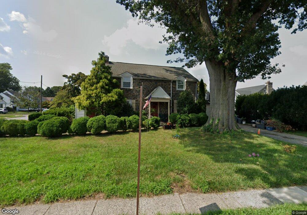
4705 State Rd Drexel Hill, PA 19026
Estimated Value: $385,000 - $449,000
3
Beds
3
Baths
2,114
Sq Ft
$199/Sq Ft
Est. Value
About This Home
This home is located at 4705 State Rd, Drexel Hill, PA 19026 and is currently estimated at $420,227, approximately $198 per square foot. 4705 State Rd is a home located in Delaware County with nearby schools including Aronimink El School, Upper Darby Kdg Center, and Drexel Hill Middle School.
Ownership History
Date
Name
Owned For
Owner Type
Purchase Details
Closed on
Oct 9, 2015
Sold by
Pegram Elise D
Bought by
Pappas Anthony and Pappas Aleandra
Current Estimated Value
Purchase Details
Closed on
Feb 26, 2007
Sold by
Tietjen Lawrence E and Tietjen Louise J
Bought by
Pegram Elise D
Home Financials for this Owner
Home Financials are based on the most recent Mortgage that was taken out on this home.
Original Mortgage
$223,920
Interest Rate
6.99%
Mortgage Type
Unknown
Create a Home Valuation Report for This Property
The Home Valuation Report is an in-depth analysis detailing your home's value as well as a comparison with similar homes in the area
Home Values in the Area
Average Home Value in this Area
Purchase History
| Date | Buyer | Sale Price | Title Company |
|---|---|---|---|
| Pappas Anthony | $170,000 | None Available | |
| Pegram Elise D | $279,900 | None Available |
Source: Public Records
Mortgage History
| Date | Status | Borrower | Loan Amount |
|---|---|---|---|
| Previous Owner | Pegram Elise D | $223,920 |
Source: Public Records
Tax History Compared to Growth
Tax History
| Year | Tax Paid | Tax Assessment Tax Assessment Total Assessment is a certain percentage of the fair market value that is determined by local assessors to be the total taxable value of land and additions on the property. | Land | Improvement |
|---|---|---|---|---|
| 2025 | $9,586 | $226,670 | $44,290 | $182,380 |
| 2024 | $9,586 | $226,670 | $44,290 | $182,380 |
| 2023 | $9,496 | $226,670 | $44,290 | $182,380 |
| 2022 | $9,241 | $226,670 | $44,290 | $182,380 |
| 2021 | $12,460 | $226,670 | $44,290 | $182,380 |
| 2020 | $9,445 | $146,020 | $42,930 | $103,090 |
| 2019 | $9,280 | $146,020 | $42,930 | $103,090 |
| 2018 | $9,173 | $146,020 | $0 | $0 |
| 2017 | $8,934 | $146,020 | $0 | $0 |
| 2016 | $818 | $146,020 | $0 | $0 |
| 2015 | $818 | $146,020 | $0 | $0 |
| 2014 | $801 | $146,020 | $0 | $0 |
Source: Public Records
Map
Nearby Homes
- 833 Anderson Ave
- 711 Roberts Ave
- 914 Anderson Ave
- 908 Alexander Ave
- 816 Addingham Ave
- 820 Wilde Ave
- 4812 Woodland Ave
- 833 Wilde Ave
- 1005 Belfield Ave
- 4930 State Rd
- 5042 Sylvia Rd
- 1102 Childs Ave
- 5053 Sylvia Rd
- 831 Lindale Ave
- 1208 Belfield Ave
- 1048 Morgan Ave
- 1113 Drexel Ave
- 4400 School Ln
- 522 Alexander Ave
- 521 Blythe Ave
- 801 Collenbrook Ave
- 807 Collenbrook Ave
- 820 Roberts Ave
- 804 Roberts Ave
- 4706 State Rd
- 4709 State Rd
- 4708 State Rd
- 4704 State Rd
- 811 Collenbrook Ave
- 4710 State Rd
- 4702 State Rd
- 4712 State Rd
- 4700 State Rd
- 808 Roberts Ave
- 808 Collenbrook Ave
- 4714 State Rd
- 4716 State Rd
- 815 Collenbrook Ave
- 4698 State Rd
- 4718 State Rd