Estimated Value: $234,000 - $300,000
4
Beds
4
Baths
2,420
Sq Ft
$115/Sq Ft
Est. Value
About This Home
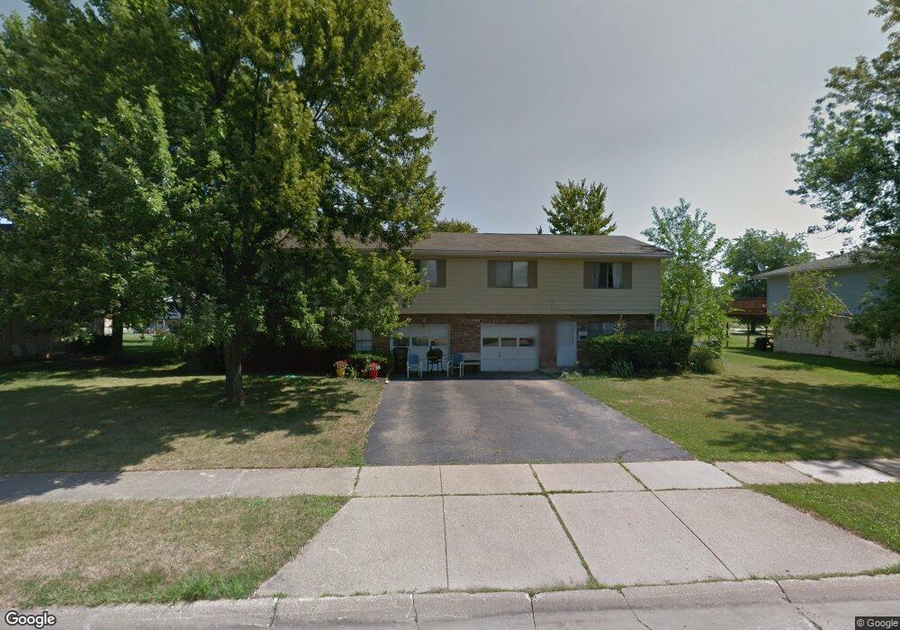
This home is located at 4707 Maple Spur Dr Unit 4711, Stow, OH 44224 and is currently estimated at $277,443, approximately $114 per square foot. 4707 Maple Spur Dr Unit 4711 is a home located in Summit County with nearby schools including Stow-Munroe Falls High School, Primrose School of Hudson, and Holy Family Elementary School.
Ownership History
Date
Name
Owned For
Owner Type
Purchase Details
Closed on
Feb 22, 2017
Sold by
Prulhiere Jeffrey N and Prulhiere Valorie K
Bought by
Baratuci James L and Baratuci Linda A
Current Estimated Value
Home Financials for this Owner
Home Financials are based on the most recent Mortgage that was taken out on this home.
Original Mortgage
$85,500
Interest Rate
4.12%
Mortgage Type
New Conventional
Create a Home Valuation Report for This Property
The Home Valuation Report is an in-depth analysis detailing your home's value as well as a comparison with similar homes in the area
Home Values in the Area
Average Home Value in this Area
Purchase History
| Date | Buyer | Sale Price | Title Company |
|---|---|---|---|
| Baratuci James L | $142,500 | Fireland Title |
Source: Public Records
Mortgage History
| Date | Status | Borrower | Loan Amount |
|---|---|---|---|
| Previous Owner | Baratuci James L | $85,500 |
Source: Public Records
Tax History Compared to Growth
Tax History
| Year | Tax Paid | Tax Assessment Tax Assessment Total Assessment is a certain percentage of the fair market value that is determined by local assessors to be the total taxable value of land and additions on the property. | Land | Improvement |
|---|---|---|---|---|
| 2025 | $4,148 | $71,660 | $13,794 | $57,866 |
| 2024 | $4,148 | $71,660 | $13,794 | $57,866 |
| 2023 | $4,148 | $71,660 | $13,794 | $57,866 |
| 2022 | $3,537 | $53,880 | $10,371 | $43,509 |
| 2021 | $3,177 | $53,880 | $10,371 | $43,509 |
| 2020 | $3,124 | $53,880 | $10,370 | $43,510 |
| 2019 | $3,169 | $51,120 | $10,370 | $40,750 |
| 2018 | $3,119 | $51,120 | $10,370 | $40,750 |
| 2017 | $2,976 | $51,120 | $10,370 | $40,750 |
| 2016 | $3,060 | $47,340 | $10,370 | $36,970 |
| 2015 | $2,976 | $47,340 | $10,370 | $36,970 |
| 2014 | $2,979 | $47,340 | $10,370 | $36,970 |
| 2013 | $3,441 | $55,200 | $10,370 | $44,830 |
Source: Public Records
Map
Nearby Homes
- 2418 Wrens Dr S Unit G
- 4621 Graford Ln
- 4903 Fishcreek Rd Unit 11B
- 4901 Independence Cir Unit B
- 4227 Baird Rd
- 4131 Burton Dr
- 0 Stow Rd Unit 5102979
- 4917 Independence Cir Unit B
- 2380 Port Williams Dr Unit 2380
- 2140 Woodlawn Cir Unit 2144
- 4731 Haughton Ct
- 4120 Klein Ave
- 2327 Crockett Cir
- 2410 Liberty Rd
- 2755 Laurel Woods Blvd
- 3961 Klein Ave
- 4901 Pebblehurst Dr
- 2028 Willowdale Dr
- 0 Vira Rd
- 2140 Uniondale Dr
- 4711 Maple Spur Dr
- 4701 Maple Spur Dr
- 4717 Maple Spur Dr Unit 4721
- 4697 4701 Maple Spur Dr
- 4698 Fishcreek Rd Unit 4702
- 4706 Fishcreek Rd Unit 4710
- 4710 Maple Spur Dr
- 4706 Maple Spur Dr Unit 4710
- 4714 Fishcreek Rd Unit 4718
- 4462 Maplepark Rd Unit 4466
- 4462 4466 Maplepark Rd
- 4716 4720 Maple Spur Dr
- 4716 4720 Maple Spur
- 4727 4731 Maple Spur Dr
- 4727 Maple Spur Dr Unit 4731
- 4716 Maple Spur Dr Unit 4720
- 4696 Maple Spur Dr Unit 4700
- 4696 4700 Maple Spur Dr
- 4731 Maple Spur Dr
- 4718 Fishcreek Rd