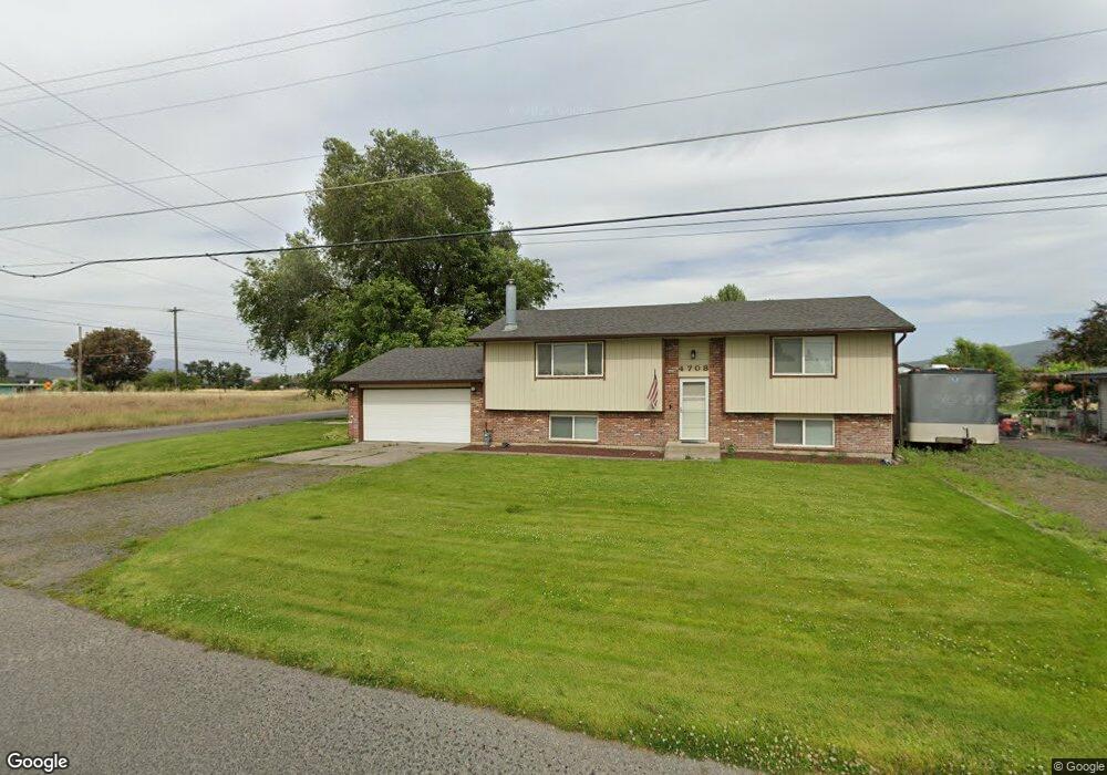
4708 N Simpson Rd Otis Orchards, WA 99027
Otis Orchards-East Farms NeighborhoodEstimated Value: $464,598 - $577,000
4
Beds
3
Baths
2,440
Sq Ft
$213/Sq Ft
Est. Value
About This Home
This home is located at 4708 N Simpson Rd, Otis Orchards, WA 99027 and is currently estimated at $520,150, approximately $213 per square foot. 4708 N Simpson Rd is a home located in Spokane County with nearby schools including Otis Orchards School, East Valley Middle School, and East Valley High School & Extension.
Ownership History
Date
Name
Owned For
Owner Type
Purchase Details
Closed on
Dec 27, 2021
Sold by
Dave Gruger
Bought by
Kruger Dave L and Kruger Dave L
Current Estimated Value
Home Financials for this Owner
Home Financials are based on the most recent Mortgage that was taken out on this home.
Original Mortgage
$275,000
Outstanding Balance
$216,720
Interest Rate
2.43%
Mortgage Type
New Conventional
Estimated Equity
$303,430
Purchase Details
Closed on
May 19, 2003
Sold by
Wilson Norman R and Wilson Kathi G
Bought by
Kruger Dave L
Home Financials for this Owner
Home Financials are based on the most recent Mortgage that was taken out on this home.
Original Mortgage
$123,019
Interest Rate
5.77%
Mortgage Type
FHA
Create a Home Valuation Report for This Property
The Home Valuation Report is an in-depth analysis detailing your home's value as well as a comparison with similar homes in the area
Home Values in the Area
Average Home Value in this Area
Purchase History
| Date | Buyer | Sale Price | Title Company |
|---|---|---|---|
| Kruger Dave L | $313 | Rosenberg Pllc | |
| Kruger Dave L | -- | Spokane County Title Co |
Source: Public Records
Mortgage History
| Date | Status | Borrower | Loan Amount |
|---|---|---|---|
| Open | Kruger Dave L | $275,000 | |
| Previous Owner | Kruger Dave L | $123,019 |
Source: Public Records
Tax History Compared to Growth
Tax History
| Year | Tax Paid | Tax Assessment Tax Assessment Total Assessment is a certain percentage of the fair market value that is determined by local assessors to be the total taxable value of land and additions on the property. | Land | Improvement |
|---|---|---|---|---|
| 2025 | $3,989 | $413,500 | $81,000 | $332,500 |
| 2024 | $3,989 | $405,700 | $76,500 | $329,200 |
| 2023 | $3,948 | $405,700 | $76,500 | $329,200 |
| 2022 | $3,672 | $403,600 | $76,500 | $327,100 |
| 2021 | $3,592 | $283,900 | $49,500 | $234,400 |
| 2020 | $3,529 | $264,600 | $49,500 | $215,100 |
| 2019 | $2,986 | $226,610 | $49,010 | $177,600 |
| 2018 | $3,109 | $220,600 | $40,500 | $180,100 |
| 2017 | $2,901 | $206,400 | $40,500 | $165,900 |
| 2016 | $2,625 | $188,400 | $36,000 | $152,400 |
| 2015 | $2,590 | $179,100 | $32,400 | $146,700 |
| 2014 | -- | $179,900 | $32,400 | $147,500 |
| 2013 | -- | $0 | $0 | $0 |
Source: Public Records
Map
Nearby Homes
- 24005 E Garland Ave
- 4806 N Drury Rd
- 5605 N Drury Rd
- 5718 N Martinson Rd
- 23007 E Sanson Ln
- 99999 E Dalke Ave
- 5325 N Vincent Rd
- 6205 N Ormond Rd
- 5816 N Canal Rd
- 5719 N Haye St
- 24225 E Rosewood Ave
- 24672 Hawkstone Loop
- 22707 E Rowan Ave
- 24872 E Hawkstone Loop
- 4907 N Chase Rd
- 24672 E Hawkstone Loop
- 2669 N Talon Ln
- 2669 Talon Ln
- 24443 E Pinnacle Ct Unit 24443
- 5407 N Chase Rd
- 4622 N Simpson Rd
- 5000 N Simpson Rd
- 4910 N Simpson Rd
- 4616 N Simpson Rd
- 4606 N Simpson Rd
- 4605 N Simpson Rd
- 24414 E Railroad Ave
- 4524 N Simpson Rd
- 24301 E Wellesley Ave
- 24212 E Railroad Ave
- 24211 E Wellesley Ave
- 4523 N Simpson Rd
- 24307 E Kildea Ave
- 24424 E Railroad Ave
- 4516 N Simpson Rd
- 4513 N Simpson Rd
- 24403 E Kildea Ave
- 4505 N Simpson Rd
- NKA Malvern
- 4506 N Simpson Rd