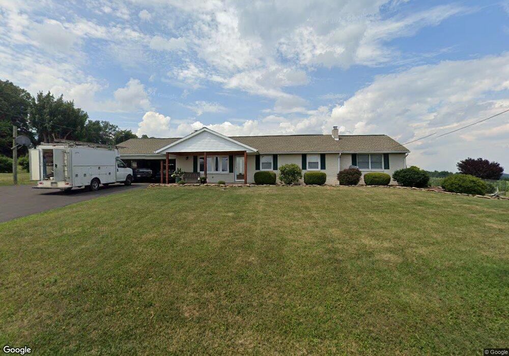
4709 List Rd Red Lion, PA 17356
Estimated Value: $290,000 - $321,871
3
Beds
1
Bath
1,588
Sq Ft
$195/Sq Ft
Est. Value
About This Home
This home is located at 4709 List Rd, Red Lion, PA 17356 and is currently estimated at $309,218, approximately $194 per square foot. 4709 List Rd is a home located in York County with nearby schools including North Hopewell-Winterstown Elementary School, Red Lion Area Junior High School, and Red Lion Area Senior High School.
Ownership History
Date
Name
Owned For
Owner Type
Purchase Details
Closed on
Feb 10, 1993
Sold by
Groff Kenneth P and Ruth Ann C
Bought by
Posey Daniel L and Posey Suzanne K
Current Estimated Value
Purchase Details
Closed on
Jul 1, 1984
Bought by
Groff Kenneth P and Ruth Ann C
Create a Home Valuation Report for This Property
The Home Valuation Report is an in-depth analysis detailing your home's value as well as a comparison with similar homes in the area
Home Values in the Area
Average Home Value in this Area
Purchase History
| Date | Buyer | Sale Price | Title Company |
|---|---|---|---|
| Posey Daniel L | $67,000 | -- | |
| Groff Kenneth P | $67,000 | -- |
Source: Public Records
Tax History Compared to Growth
Tax History
| Year | Tax Paid | Tax Assessment Tax Assessment Total Assessment is a certain percentage of the fair market value that is determined by local assessors to be the total taxable value of land and additions on the property. | Land | Improvement |
|---|---|---|---|---|
| 2025 | $5,214 | $165,470 | $45,900 | $119,570 |
| 2024 | $5,051 | $165,470 | $45,900 | $119,570 |
| 2023 | $5,051 | $165,470 | $45,900 | $119,570 |
| 2022 | $5,051 | $165,470 | $45,900 | $119,570 |
| 2021 | $4,886 | $165,470 | $45,900 | $119,570 |
| 2020 | $4,886 | $165,470 | $45,900 | $119,570 |
| 2019 | $4,869 | $165,470 | $45,900 | $119,570 |
| 2018 | $4,869 | $165,470 | $45,900 | $119,570 |
| 2017 | $4,869 | $165,470 | $45,900 | $119,570 |
| 2016 | $0 | $165,470 | $45,900 | $119,570 |
| 2015 | -- | $165,470 | $45,900 | $119,570 |
| 2014 | -- | $165,470 | $45,900 | $119,570 |
Source: Public Records
Map
Nearby Homes
- 0 Oak Ridge Ave
- 290 Neff Rd
- 786 Arbor Dr
- 209 Forest Hills Rd
- 0 Swamp Hollow Ln
- 11983 Tree Ln
- 705 Summit Dr
- 175 Country Ridge Dr
- 250 Country Ridge Dr
- 260 Country Ridge Dr
- 126 Country Ridge Dr
- 12706 High Point Rd
- 28 Pleasant Ave
- 620 Boundary Ave
- 738 Wise Ave
- 116 S Franklin St
- 630 Woodland Ave
- 314 Boundary Ave
- 645 S Main St
- 503 W Broadway
- 4671 List Rd
- 4690 List Rd
- 4726 List Rd
- 4775 List Rd
- 4652 List Rd
- 4639 List Rd
- 4770 List Rd
- 4621 List Rd
- 4800 List Rd
- 4601 List Rd
- 4570 List Rd
- 10796 Winterstown Rd
- 4828 List Rd
- 10752 Winterstown Rd
- 10692 Winterstown Rd
- 4538 List Rd
- 10668 Winterstown Rd
- 4529 List Rd
- Lot 3 Dairy Rd
- 10632 Winterstown Rd