4709 Rockport Dr Durham, NC 27703
South Durham NeighborhoodEstimated Value: $369,637 - $419,000
4
Beds
3
Baths
2,088
Sq Ft
$186/Sq Ft
Est. Value
About This Home
This home is located at 4709 Rockport Dr, Durham, NC 27703 and is currently estimated at $388,409, approximately $186 per square foot. 4709 Rockport Dr is a home located in Durham County with nearby schools including Bethesda Elementary School, John W Neal Middle School, and Southern School of Energy & Sustainability.
Ownership History
Date
Name
Owned For
Owner Type
Purchase Details
Closed on
Oct 28, 2021
Sold by
Badillo Neetar J
Bought by
Badillo Neetar J and Class Sarai
Current Estimated Value
Purchase Details
Closed on
Aug 9, 2021
Sold by
Elsayed Elsayed A A and Elsayed Alia B
Bought by
Badillo Nectar J
Home Financials for this Owner
Home Financials are based on the most recent Mortgage that was taken out on this home.
Original Mortgage
$281,000
Outstanding Balance
$255,516
Interest Rate
2.9%
Mortgage Type
VA
Estimated Equity
$132,893
Purchase Details
Closed on
Aug 11, 2005
Sold by
Centex Homes
Bought by
Elsayed Elsayed A and Elsayed Alia B
Home Financials for this Owner
Home Financials are based on the most recent Mortgage that was taken out on this home.
Original Mortgage
$131,696
Interest Rate
7.9%
Mortgage Type
Fannie Mae Freddie Mac
Create a Home Valuation Report for This Property
The Home Valuation Report is an in-depth analysis detailing your home's value as well as a comparison with similar homes in the area
Home Values in the Area
Average Home Value in this Area
Purchase History
| Date | Buyer | Sale Price | Title Company |
|---|---|---|---|
| Badillo Neetar J | -- | None Available | |
| Badillo Nectar J | $281,000 | Attorneys Title | |
| Elsayed Elsayed A | $165,000 | -- |
Source: Public Records
Mortgage History
| Date | Status | Borrower | Loan Amount |
|---|---|---|---|
| Open | Badillo Nectar J | $281,000 | |
| Previous Owner | Elsayed Elsayed A | $131,696 | |
| Previous Owner | Elsayed Elsayed A | $32,924 |
Source: Public Records
Tax History
| Year | Tax Paid | Tax Assessment Tax Assessment Total Assessment is a certain percentage of the fair market value that is determined by local assessors to be the total taxable value of land and additions on the property. | Land | Improvement |
|---|---|---|---|---|
| 2025 | $4,097 | $413,303 | $98,875 | $314,428 |
| 2024 | $3,100 | $222,243 | $42,375 | $179,868 |
| 2023 | $2,911 | $222,243 | $42,375 | $179,868 |
| 2022 | $2,844 | $222,243 | $42,375 | $179,868 |
| 2021 | $2,831 | $222,243 | $42,375 | $179,868 |
| 2020 | $2,764 | $222,243 | $42,375 | $179,868 |
| 2019 | $2,764 | $222,243 | $42,375 | $179,868 |
| 2018 | $2,537 | $187,040 | $33,900 | $153,140 |
| 2017 | $2,518 | $187,040 | $33,900 | $153,140 |
| 2016 | $2,434 | $187,040 | $33,900 | $153,140 |
| 2015 | $2,489 | $179,787 | $35,143 | $144,644 |
| 2014 | $2,489 | $179,787 | $35,143 | $144,644 |
Source: Public Records
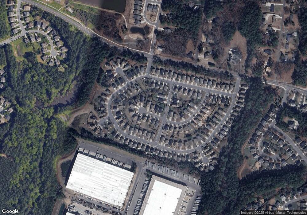
Map
Nearby Homes
- 1016 Hollis Cir
- 4512 Brimmer St
- 2701 Skybrook Ln
- 2709 Hamilton Green Dr
- 5024 Dragonfly Dr
- 1200 Bluewater Way
- 4213 Congleton Place
- 2214 Tw Alexander Dr
- 1018 Flyfish Ave
- 2520 Rolling Pines Ave
- 2524 Rolling Pines Ave
- 3503 Long Ridge Rd
- 111 Lang St
- 913 Wood Chapel Ln
- 3712 Appling Way
- 12 Sameer Ct
- 909 Wood Chapel Ln
- 2217 S Miami Blvd
- 334 Westgrove Ct
- 2216 Jollay St
- 4707 Rockport Dr
- 4711 Rockport Dr
- 2806 Lenox Ln
- 4713 Rockport Dr
- 2804 Lenox Ln
- 4705 Rockport Dr
- 2506 Lenox Ln
- 4710 Rockport Dr
- 4708 Rockport Dr
- 4703 Rockport Dr
- 4706 Rockport Dr
- 4714 Rockport Dr
- 4801 Rockport Dr
- 3304 Skybrook Ln
- 3302 Skybrook Ln
- 3306 Skybrook Ln
- 3308 Skybrook Ln
- 4701 Rockport Dr
- 4704 Rockport Dr
- 3204 Skybrook Ln
Your Personal Tour Guide
Ask me questions while you tour the home.