471 Andrews Rd Hampstead, NC 28443
Estimated Value: $1,213,000 - $1,662,000
4
Beds
4
Baths
3,344
Sq Ft
$448/Sq Ft
Est. Value
About This Home
This home is located at 471 Andrews Rd, Hampstead, NC 28443 and is currently estimated at $1,499,344, approximately $448 per square foot. 471 Andrews Rd is a home located in Pender County with nearby schools including North Topsail Elementary School, Topsail Middle School, and Topsail High School.
Ownership History
Date
Name
Owned For
Owner Type
Purchase Details
Closed on
Nov 21, 2017
Sold by
Groves Eric Thomas and Groves Kimberly Ann
Bought by
Reeves Thomas S and Reevas Sherry
Current Estimated Value
Home Financials for this Owner
Home Financials are based on the most recent Mortgage that was taken out on this home.
Original Mortgage
$203,150
Outstanding Balance
$168,597
Interest Rate
3.85%
Mortgage Type
Commercial
Estimated Equity
$1,330,747
Purchase Details
Closed on
Jun 20, 2016
Sold by
Groves Hildred Thomas and Groves Linda
Bought by
Groves Eric Thomas
Purchase Details
Closed on
Jun 11, 2010
Sold by
Parham William Newell
Bought by
Groves Hildred Thomas
Create a Home Valuation Report for This Property
The Home Valuation Report is an in-depth analysis detailing your home's value as well as a comparison with similar homes in the area
Purchase History
| Date | Buyer | Sale Price | Title Company |
|---|---|---|---|
| Reeves Thomas S | $239,000 | None Available | |
| Groves Eric Thomas | -- | None Available | |
| Groves Hildred Thomas | -- | -- |
Source: Public Records
Mortgage History
| Date | Status | Borrower | Loan Amount |
|---|---|---|---|
| Open | Reeves Thomas S | $203,150 |
Source: Public Records
Tax History
| Year | Tax Paid | Tax Assessment Tax Assessment Total Assessment is a certain percentage of the fair market value that is determined by local assessors to be the total taxable value of land and additions on the property. | Land | Improvement |
|---|---|---|---|---|
| 2025 | $6,398 | $1,844,266 | $813,120 | $1,031,146 |
| 2024 | $6,398 | $670,096 | $275,000 | $395,096 |
| 2023 | $6,398 | $670,096 | $275,000 | $395,096 |
| 2022 | $5,579 | $670,096 | $275,000 | $395,096 |
| 2021 | $5,799 | $275,000 | $275,000 | $0 |
| 2020 | $2,289 | $275,000 | $275,000 | $0 |
| 2019 | $2,289 | $275,000 | $275,000 | $0 |
| 2018 | $1,934 | $221,640 | $221,640 | $0 |
| 2017 | $1,934 | $221,640 | $221,640 | $0 |
| 2016 | $3,664 | $399,304 | $332,400 | $66,904 |
| 2015 | $3,629 | $399,304 | $332,400 | $66,904 |
| 2014 | $2,846 | $399,304 | $332,400 | $66,904 |
| 2013 | -- | $399,304 | $332,400 | $66,904 |
| 2012 | -- | $399,304 | $332,400 | $66,904 |
Source: Public Records
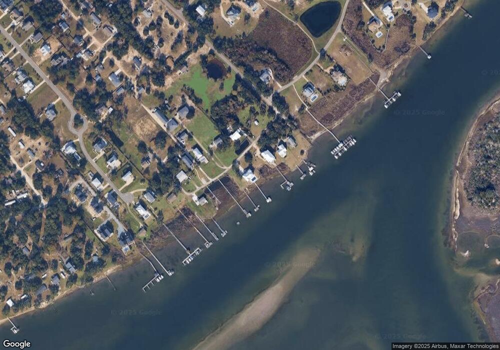
Map
Nearby Homes
- 476 Andrews Rd
- Lot 21r Shipyard Ln
- 52 Pier View Ct
- 283 Ballast Point Rd
- 53 Ballast Point Rd
- 114 Cove Side Ln
- 114 Old Farm Rd
- 100 Cove Side Ln
- Lot 17 Redd Banks Ln
- 38 Reston Bluff
- 278 Lewis Rd
- 6 Oak View Ln
- 166 Camden Trail
- 120 Moores Landing Rd
- 113 Moores Landing Rd
- 203 Moores Landing Ct
- Tract B Twin Oaks Dr
- Tract A Twin Oaks Dr
- 278 Batson Rd
- 400 Camden Trail
- 486 Andrews Rd
- 9999 Andrews Rd
- 465 Andrews Rd
- 468 Andrews Rd
- 470 Andrews Rd
- 461 Andrews Rd
- 485 Andrews Rd
- 480 Andrews Rd
- 490 Andrews Rd
- 478 Andrews Rd
- 76 Fugunt Way
- 19 Shipyard Ln
- 472 Andrews Rd
- 44 Shipyard Ln
- 141 Cove Side Ln
- 488 Andrews Rd
- 146 Cove Side Ln
- 139 Cove Side Ln
- 2676 Sloop Point Rd
- 142 Cove Side Ln
Your Personal Tour Guide
Ask me questions while you tour the home.