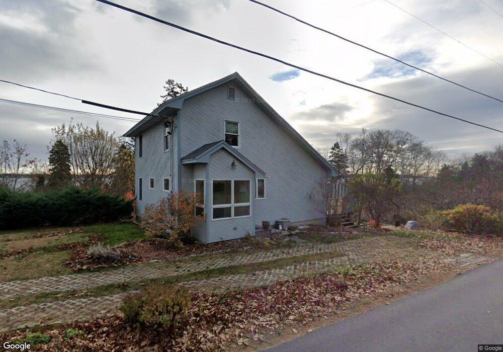
471 Basin Point Rd Harpswell, ME 04079
Harpswell Neck NeighborhoodEstimated Value: $423,952 - $528,000
3
Beds
2
Baths
1,040
Sq Ft
$441/Sq Ft
Est. Value
About This Home
This home is located at 471 Basin Point Rd, Harpswell, ME 04079 and is currently estimated at $458,738, approximately $441 per square foot. 471 Basin Point Rd is a home with nearby schools including Mt Ararat High School.
Ownership History
Date
Name
Owned For
Owner Type
Purchase Details
Closed on
Sep 15, 2025
Sold by
Martin Cheryl P Est and Brandt
Bought by
Eiane Kelsi L and Lynch Benjamin I
Current Estimated Value
Home Financials for this Owner
Home Financials are based on the most recent Mortgage that was taken out on this home.
Original Mortgage
$300,000
Outstanding Balance
$299,416
Interest Rate
6.13%
Mortgage Type
New Conventional
Estimated Equity
$159,322
Create a Home Valuation Report for This Property
The Home Valuation Report is an in-depth analysis detailing your home's value as well as a comparison with similar homes in the area
Home Values in the Area
Average Home Value in this Area
Purchase History
| Date | Buyer | Sale Price | Title Company |
|---|---|---|---|
| Eiane Kelsi L | $450,000 | -- | |
| Eiane Kelsi L | $450,000 | -- |
Source: Public Records
Mortgage History
| Date | Status | Borrower | Loan Amount |
|---|---|---|---|
| Open | Eiane Kelsi L | $300,000 | |
| Closed | Eiane Kelsi L | $300,000 |
Source: Public Records
Tax History Compared to Growth
Tax History
| Year | Tax Paid | Tax Assessment Tax Assessment Total Assessment is a certain percentage of the fair market value that is determined by local assessors to be the total taxable value of land and additions on the property. | Land | Improvement |
|---|---|---|---|---|
| 2024 | $1,478 | $232,400 | $63,200 | $169,200 |
| 2023 | $1,422 | $233,100 | $63,200 | $169,900 |
| 2022 | $1,375 | $233,100 | $63,200 | $169,900 |
| 2021 | $1,183 | $175,000 | $55,200 | $119,800 |
| 2020 | $1,180 | $175,000 | $55,200 | $119,800 |
| 2019 | $1,173 | $175,000 | $55,200 | $119,800 |
| 2018 | $1,134 | $175,000 | $55,200 | $119,800 |
| 2017 | $1,131 | $175,000 | $55,200 | $119,800 |
| 2016 | $1,120 | $175,000 | $55,200 | $119,800 |
| 2015 | $1,092 | $175,000 | $55,200 | $119,800 |
| 2013 | $1,012 | $175,000 | $55,200 | $119,800 |
Source: Public Records
Map
Nearby Homes
- 6 Kane Ln
- 8 & 2 Kane Ln
- 10 S Colony Branch Rd
- 18 Ash Point Rd
- 16 Ash Point Rd Unit 16
- 10 Irene Ave
- 1450 Harpswell Neck Rd
- 19 Hugh Ave
- 20 Spruce Ledge Rd
- 30 Osbourne Row
- Lot 2 Buxhill Blvd
- 1689 Harpswell Islands Rd
- 87 Lowells Cove Rd
- 1 Mallard Pond Rd
- 471 South Rd Unit A
- 471 South Rd Unit B
- 41 Spruce Brook Dr
- Lot 2A Allen Point Rd
- Lot 2B Allen Point Rd
- Lot#8C North Rd
- 24 Barrows Ln
- 474 Basin Point Rd
- 464 Basin Point Rd
- 16 Barrows Ln
- 480 Basin Point Rd
- 18 Juniper Ln
- 8 Barrows Ln
- 486 Basin Point Rd
- 6 Barrows Ln
- 493 Basin Point Rd
- 492 Basin Point Rd
- 450 Basin Point Rd
- 0 Juniper
- 15 Juniper Ln
- 9 Malcolm Dr
- 498 Basin Point Rd
- 444 Basin Point Rd
- 504 Basin Point Rd
- 437 Basin Point Rd
- 508 Basin Point Rd