471 Darton Ct Glen Burnie, MD 21061
Estimated Value: $275,138 - $322,000
--
Bed
3
Baths
1,584
Sq Ft
$192/Sq Ft
Est. Value
About This Home
This home is located at 471 Darton Ct, Glen Burnie, MD 21061 and is currently estimated at $304,785, approximately $192 per square foot. 471 Darton Ct is a home located in Anne Arundel County with nearby schools including Southgate Elementary School, Old Mill Middle School North, and Old Mill High School.
Ownership History
Date
Name
Owned For
Owner Type
Purchase Details
Closed on
Dec 3, 1999
Sold by
Elvaton Towne Associates
Bought by
Mcketney Jonathan L
Current Estimated Value
Create a Home Valuation Report for This Property
The Home Valuation Report is an in-depth analysis detailing your home's value as well as a comparison with similar homes in the area
Home Values in the Area
Average Home Value in this Area
Purchase History
| Date | Buyer | Sale Price | Title Company |
|---|---|---|---|
| Mcketney Jonathan L | $96,000 | -- |
Source: Public Records
Mortgage History
| Date | Status | Borrower | Loan Amount |
|---|---|---|---|
| Closed | Mcketney Jonathan L | -- |
Source: Public Records
Tax History Compared to Growth
Tax History
| Year | Tax Paid | Tax Assessment Tax Assessment Total Assessment is a certain percentage of the fair market value that is determined by local assessors to be the total taxable value of land and additions on the property. | Land | Improvement |
|---|---|---|---|---|
| 2025 | $2,079 | $221,933 | -- | -- |
| 2024 | $2,079 | $208,100 | $70,000 | $138,100 |
| 2023 | $2,010 | $197,700 | $0 | $0 |
| 2022 | $1,957 | $187,300 | $0 | $0 |
| 2021 | $939 | $176,900 | $45,000 | $131,900 |
| 2020 | $1,738 | $160,900 | $0 | $0 |
| 2019 | $3,323 | $144,900 | $0 | $0 |
| 2018 | $1,307 | $128,900 | $30,000 | $98,900 |
| 2017 | $1,656 | $128,900 | $0 | $0 |
| 2016 | -- | $128,900 | $0 | $0 |
| 2015 | -- | $158,900 | $0 | $0 |
| 2014 | -- | $158,900 | $0 | $0 |
Source: Public Records
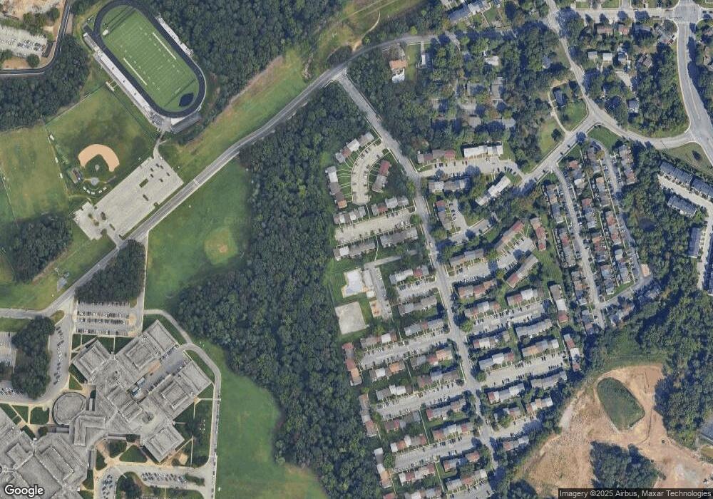
Map
Nearby Homes
- 475 Darton Ct
- 462 Aventura Ct
- 494 Kenilworth Ct
- 429 Hardmoore Ct
- 326 Eagles Ridge Way
- 8367 Williamstowne Dr
- 8206 Brandon Dr
- 8218 Sherbrooke Ct
- 518 Kenora Dr
- 7959 Pipers Path
- 248 Michele Cir
- 525 Old Mill Rd
- 8283 Longford Rd
- 8281 Longford Rd
- 8279 Longford Rd
- 8275 Longford Rd
- 8267 Longford Rd
- 8258 Longford Rd
- 520 Bend Circle Rd
- 529 Chalet Dr W