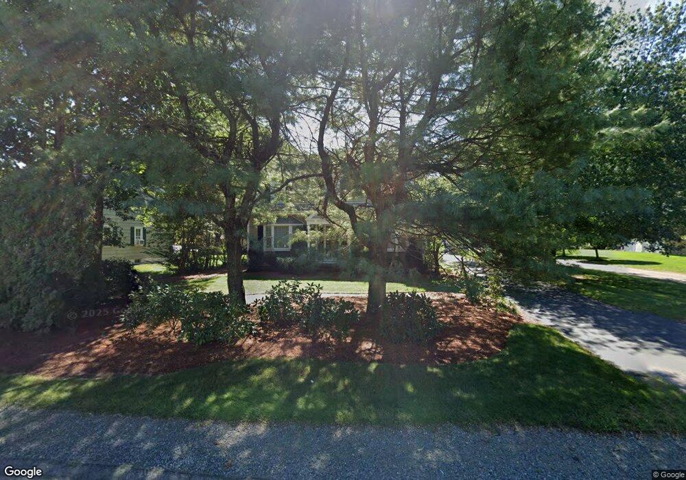
471 Franklin St Wrentham, MA 02093
Estimated Value: $716,000 - $976,000
3
Beds
2
Baths
1,680
Sq Ft
$497/Sq Ft
Est. Value
About This Home
This home is located at 471 Franklin St, Wrentham, MA 02093 and is currently estimated at $835,461, approximately $497 per square foot. 471 Franklin St is a home located in Norfolk County with nearby schools including Delaney Elementary School, Charles E Roderick, and Benjamin Franklin Classical Charter Public School.
Ownership History
Date
Name
Owned For
Owner Type
Purchase Details
Closed on
Apr 23, 1997
Sold by
Eldridge Richard J and Eldridge Dawn E
Bought by
Halpern Mitchell S and Halpern Barbara S
Current Estimated Value
Purchase Details
Closed on
Apr 13, 1989
Sold by
Scrivani Linda
Bought by
Eldridge Richard J
Create a Home Valuation Report for This Property
The Home Valuation Report is an in-depth analysis detailing your home's value as well as a comparison with similar homes in the area
Home Values in the Area
Average Home Value in this Area
Purchase History
| Date | Buyer | Sale Price | Title Company |
|---|---|---|---|
| Halpern Mitchell S | $183,000 | -- | |
| Eldridge Richard J | $185,000 | -- |
Source: Public Records
Mortgage History
| Date | Status | Borrower | Loan Amount |
|---|---|---|---|
| Open | Eldridge Richard J | $360,000 | |
| Closed | Eldridge Richard J | $274,000 | |
| Closed | Eldridge Richard J | $154,000 |
Source: Public Records
Tax History Compared to Growth
Tax History
| Year | Tax Paid | Tax Assessment Tax Assessment Total Assessment is a certain percentage of the fair market value that is determined by local assessors to be the total taxable value of land and additions on the property. | Land | Improvement |
|---|---|---|---|---|
| 2025 | $9,016 | $777,900 | $515,700 | $262,200 |
| 2024 | $8,882 | $740,200 | $515,700 | $224,500 |
| 2023 | $8,531 | $676,000 | $468,800 | $207,200 |
| 2022 | $8,099 | $592,500 | $416,000 | $176,500 |
| 2021 | $7,565 | $537,700 | $369,400 | $168,300 |
| 2020 | $8,268 | $580,200 | $402,800 | $177,400 |
| 2019 | $8,512 | $602,800 | $433,700 | $169,100 |
| 2018 | $8,083 | $567,600 | $391,100 | $176,500 |
| 2017 | $7,733 | $542,700 | $383,500 | $159,200 |
| 2016 | $7,550 | $528,700 | $372,400 | $156,300 |
| 2015 | $7,445 | $497,000 | $358,000 | $139,000 |
| 2014 | $7,329 | $478,700 | $344,300 | $134,400 |
Source: Public Records
Map
Nearby Homes
- 570 Franklin St
- 131 Creek St Unit 7
- 10 Nature View Dr
- 15 Nature View Dr
- 50 Reed Fulton Ave Unit Lot 61
- 11 Earle Stewart Ln
- Lot 3 - 14 Earle Stewart Ln
- Lot 1 - Blueberry 2 Car Plan at King Philip Estates
- Lot 8 - Blueberry 2 Car Plan at King Philip Estates
- Lot 6 - Blueberry 3 Car Plan at King Philip Estates
- Lot 2 - Camden 2 Car Plan at King Philip Estates
- Lot 7 - Cedar Plan at King Philip Estates
- Lot 4 - Hemingway 2 Car Plan at King Philip Estates
- Lot 3 - Blueberry 2 Car Plan at King Philip Estates
- 45 Joshua Rd
- 270 Dedham St
- 246 Forest Grove Ave
- 1 Lorraine Metcalf Dr
- 319 Taunton St
- 3 Oak Rd
- 451 Franklin St
- 447 Franklin St
- 447 Franklin St Unit 2
- 477 Franklin St
- 443 Franklin St
- 484 Franklin St
- 439 Franklin St
- 485 Franklin St
- 440 Franklin St
- 70 Hayden Woods
- 435 Franklin St
- 486 Franklin St
- 60 Hayden Woods
- 35 Park St
- 28 Park St
- 5 Dana Dr
- 431 Franklin St
- 50 Hayden Woods
- 491 Franklin St
- 80 Hayden Woods