471 Jack Wright Rd Millsap, TX 76066
Estimated Value: $457,605 - $662,000
3
Beds
2
Baths
2,725
Sq Ft
$205/Sq Ft
Est. Value
About This Home
This home is located at 471 Jack Wright Rd, Millsap, TX 76066 and is currently estimated at $559,803, approximately $205 per square foot. 471 Jack Wright Rd is a home located in Parker County with nearby schools including Brock Intermediate School, Brock Junior High School, and Brock High School.
Ownership History
Date
Name
Owned For
Owner Type
Purchase Details
Closed on
Oct 14, 2016
Sold by
Sandlin Barry T and Sandlin Terri L
Bought by
Davison Christopher E
Current Estimated Value
Home Financials for this Owner
Home Financials are based on the most recent Mortgage that was taken out on this home.
Original Mortgage
$275,811
Outstanding Balance
$221,114
Interest Rate
3.46%
Mortgage Type
VA
Estimated Equity
$338,689
Purchase Details
Closed on
Nov 9, 1989
Bought by
Davison Christopher E
Create a Home Valuation Report for This Property
The Home Valuation Report is an in-depth analysis detailing your home's value as well as a comparison with similar homes in the area
Home Values in the Area
Average Home Value in this Area
Purchase History
| Date | Buyer | Sale Price | Title Company |
|---|---|---|---|
| Davison Christopher E | -- | Providence Title Company | |
| Davison Christopher E | -- | -- |
Source: Public Records
Mortgage History
| Date | Status | Borrower | Loan Amount |
|---|---|---|---|
| Open | Davison Christopher E | $275,811 |
Source: Public Records
Tax History Compared to Growth
Tax History
| Year | Tax Paid | Tax Assessment Tax Assessment Total Assessment is a certain percentage of the fair market value that is determined by local assessors to be the total taxable value of land and additions on the property. | Land | Improvement |
|---|---|---|---|---|
| 2025 | $4,502 | $354,200 | $51,880 | $302,320 |
| 2024 | $4,502 | $335,010 | $30,000 | $305,010 |
| 2023 | $4,502 | $335,010 | $30,000 | $305,010 |
| 2022 | $6,592 | $355,110 | $99,520 | $255,590 |
| 2021 | $6,572 | $355,110 | $99,520 | $255,590 |
| 2020 | $6,178 | $301,340 | $77,390 | $223,950 |
| 2019 | $6,022 | $301,340 | $77,390 | $223,950 |
| 2018 | $5,537 | $237,310 | $50,000 | $187,310 |
| 2017 | $5,733 | $237,310 | $50,000 | $187,310 |
| 2016 | $4,432 | $183,480 | $45,550 | $137,930 |
| 2015 | $3,759 | $183,480 | $45,550 | $137,930 |
| 2014 | $3,559 | $159,150 | $42,890 | $116,260 |
Source: Public Records
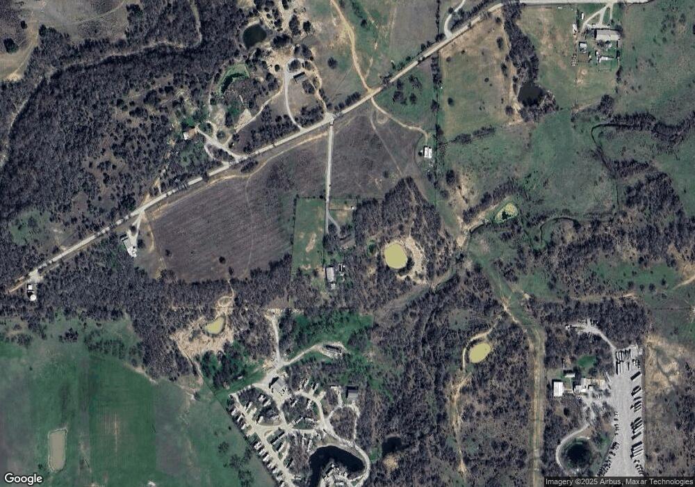
Map
Nearby Homes
- TBD Wolf Hollow
- 7530 W Interstate 20
- XXXX Wolf Hollow
- 251 Tumbleweed Ct
- 3810 Fairview Rd
- 401 Brock Spur
- 181 Savannah Dr
- 169 Savannah Dr
- 555 Sunset Trail
- 3200 Fairview Rd
- 1350 Stephens Rd
- 2710 Fairview Rd
- 1700 Fm 1189
- 4962 S Fm 113
- 4000 Luciano Dr
- TBD Grindstone Rd
- 3036 Palermo Dr
- 2350 Grindstone Rd
- 101 Consolation Dr
- 606 Grindstone Rd
- 580 Jack Wright Rd
- 366 Jack Wright Rd
- 201 Jack Wright Rd
- 7600 W Interstate 20
- 4701 Fairview Rd
- 210 Jack Wright Rd
- 194 Jack Wright Rd
- 7544 W Interstate 20
- 4398 Fairview Rd
- 106 Jack Wright Rd
- XXX Wolf Hollow
- 4431 Fairview Rd
- 4252 Fairview Rd
- 0 Tbd Wolf Hollow Rd
- 7500 W Interstate 20
- 4235 Fairview Rd
- 4441 Fairview Rd
- 1339 E Poe Prairie Rd
- 4203 Fairview Rd
- 1313 E Poe Prairie Rd