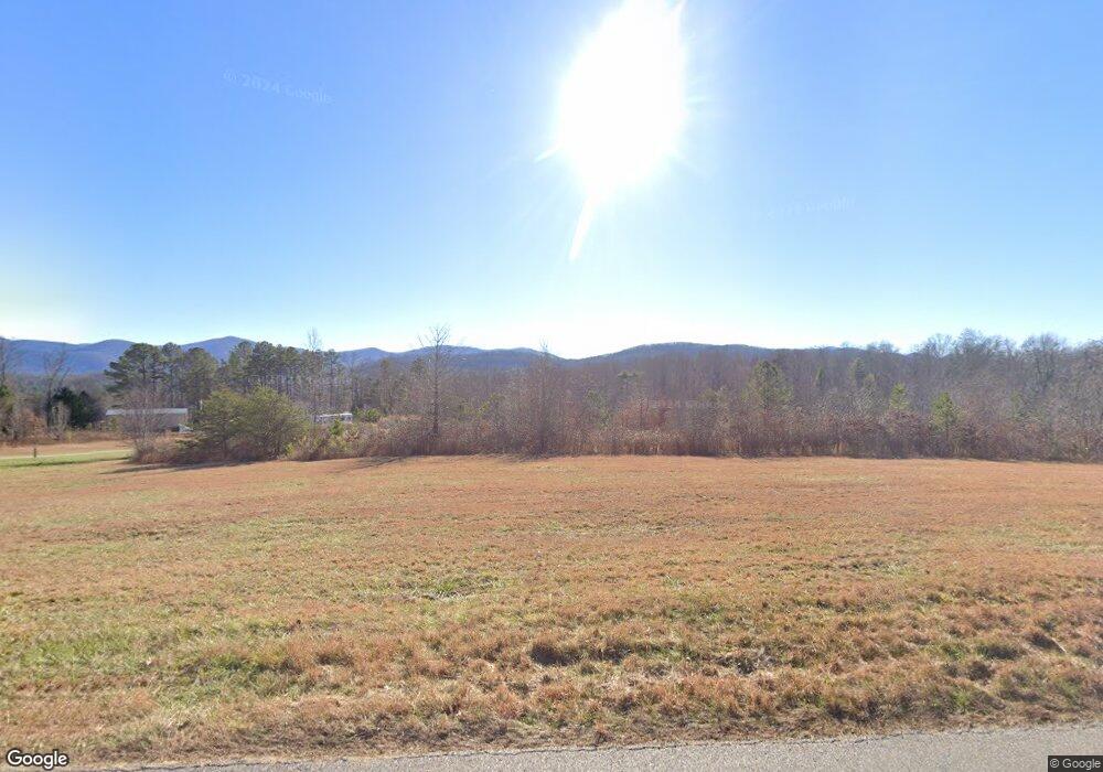
471 Kiutuestia Creek Rd Blairsville, GA 30512
Estimated Value: $152,022 - $219,000
--
Bed
1
Bath
--
Sq Ft
9.6
Acres
About This Home
This home is located at 471 Kiutuestia Creek Rd, Blairsville, GA 30512 and is currently estimated at $185,511. 471 Kiutuestia Creek Rd is a home located in Union County with nearby schools including Union County Primary School, Union County Elementary School, and Union County Middle School.
Ownership History
Date
Name
Owned For
Owner Type
Purchase Details
Closed on
Jun 29, 2018
Sold by
Stadco Development Llc
Bought by
Stapleton David Brandon
Current Estimated Value
Purchase Details
Closed on
Jun 26, 2015
Sold by
Brown David Monroe
Bought by
Stadco Development Llc
Home Financials for this Owner
Home Financials are based on the most recent Mortgage that was taken out on this home.
Original Mortgage
$65,000
Interest Rate
3.93%
Mortgage Type
New Conventional
Purchase Details
Closed on
Jul 2, 2008
Sold by
Brown Charles R
Bought by
City Of Blairsville
Purchase Details
Closed on
Apr 5, 1991
Bought by
Brown Tom and Brown Tina A
Create a Home Valuation Report for This Property
The Home Valuation Report is an in-depth analysis detailing your home's value as well as a comparison with similar homes in the area
Home Values in the Area
Average Home Value in this Area
Purchase History
| Date | Buyer | Sale Price | Title Company |
|---|---|---|---|
| Stapleton David Brandon | -- | -- | |
| Stadco Development Llc | $65,000 | -- | |
| City Of Blairsville | $133,722 | -- | |
| Brown Tom | -- | -- |
Source: Public Records
Mortgage History
| Date | Status | Borrower | Loan Amount |
|---|---|---|---|
| Previous Owner | Stadco Development Llc | $65,000 |
Source: Public Records
Tax History Compared to Growth
Tax History
| Year | Tax Paid | Tax Assessment Tax Assessment Total Assessment is a certain percentage of the fair market value that is determined by local assessors to be the total taxable value of land and additions on the property. | Land | Improvement |
|---|---|---|---|---|
| 2024 | $980 | $82,956 | $66,480 | $16,476 |
| 2023 | $889 | $66,812 | $66,480 | $332 |
| 2022 | $822 | $61,748 | $61,560 | $188 |
| 2021 | $52 | $46,856 | $46,640 | $216 |
| 2020 | $57 | $28,697 | $28,697 | $0 |
| 2019 | $52 | $28,697 | $28,697 | $0 |
| 2018 | $504 | $28,697 | $28,697 | $0 |
| 2016 | $47 | $28,697 | $28,697 | $0 |
| 2015 | $46 | $36,896 | $36,896 | $0 |
| 2013 | -- | $36,896 | $36,896 | $0 |
Source: Public Records
Map
Nearby Homes
- 92 Porch View Cir Unit LOT 95
- 140 Porch View Cir
- 140 Porch View Cir Unit 89
- 516 Crawford Rd
- 101 Porch View Cir
- 168 Misty Valley Rd Unit LOT 115
- 16 Circle Back Ln
- 101 Foggy Mountain Rd Unit LOT 149
- Lot 64 Foggy Mountain Rd
- 120 Foggy Mountain Rd
- 201 Foggy Mountain Rd
- LT 278 Foggy Mountain Rd
- 75 Foggy Mountain Rd Unit LOT 145
- 137 Foggy Mountain Rd Unit LOT 155
- 81 Foggy Mountain Rd
- 95 Foggy Mountain Rd Unit LOT 148
- 210 Foggy Mountain Rd Unit LOT 130
- 46 Circle Back Ln
- 1 Rachel Rd
- 384 Mountain Creek Rd Unit LOT 169
- 65 Adams Dr
- 425 Kiutuestia Creek Rd
- 9 Kiutuestia Cir
- 582 Airport Rd
- 561 Tanner Rd
- 53 Adams Dr
- 90 Kiutuestia
- 45 Anderson Rd Extension
- 595 Airport Rd
- 595 Airport Rd
- 317 Kiutuestia Creek Rd
- 11 Golden Ridge Rd
- 525 Airport Rd
- 153 Kiutuestia Cir
- 1795 Kiutuestia Cir
- 100 Kiutuestia Cir
- 2968 Kings Rd
- 593 Kiutuestia Creek Rd
- 1768 Kiutuestia Cir
- 180 Kiutuestia Cir