Estimated Value: $272,000 - $1,080,716
4
Beds
3
Baths
2,080
Sq Ft
$269/Sq Ft
Est. Value
About This Home
This home is located at 471 Langston Rd, Perry, GA 31069 and is currently estimated at $558,572, approximately $268 per square foot. 471 Langston Rd is a home located in Houston County with nearby schools including Langston Road Elementary School, Mossy Creek Middle School, and Perry High School.
Ownership History
Date
Name
Owned For
Owner Type
Purchase Details
Closed on
Aug 21, 1989
Sold by
Stanley Michael E and Stanley Tammy C
Bought by
Stanley Michael E and Tammy C*
Current Estimated Value
Purchase Details
Closed on
Mar 7, 1988
Sold by
King Chapman Developments Inc
Bought by
Hairston Robert W and Mary A*
Purchase Details
Closed on
Jul 18, 1986
Sold by
Johnson James C
Bought by
Hairston Robert W and Mary A*
Purchase Details
Closed on
Dec 21, 1983
Sold by
Johnson Richard A
Bought by
Hairston Robert W and Mary A*
Create a Home Valuation Report for This Property
The Home Valuation Report is an in-depth analysis detailing your home's value as well as a comparison with similar homes in the area
Home Values in the Area
Average Home Value in this Area
Purchase History
| Date | Buyer | Sale Price | Title Company |
|---|---|---|---|
| Stanley Michael E | -- | -- | |
| Hairston Robert W | -- | -- | |
| Hairston Robert W | -- | -- | |
| Hairston Robert W | -- | -- |
Source: Public Records
Tax History Compared to Growth
Tax History
| Year | Tax Paid | Tax Assessment Tax Assessment Total Assessment is a certain percentage of the fair market value that is determined by local assessors to be the total taxable value of land and additions on the property. | Land | Improvement |
|---|---|---|---|---|
| 2024 | $2,658 | $377,800 | $281,320 | $96,480 |
| 2023 | $2,258 | $347,040 | $267,600 | $79,440 |
| 2022 | $2,106 | $341,000 | $267,600 | $73,400 |
| 2021 | $2,004 | $266,200 | $195,640 | $70,560 |
| 2020 | $1,925 | $189,440 | $119,240 | $70,200 |
| 2019 | $1,917 | $189,440 | $119,240 | $70,200 |
| 2018 | $1,910 | $189,440 | $119,240 | $70,200 |
| 2017 | $1,905 | $189,440 | $119,240 | $70,200 |
| 2016 | $1,901 | $189,440 | $119,240 | $70,200 |
| 2015 | $1,899 | $189,440 | $119,240 | $70,200 |
| 2014 | -- | $189,440 | $119,240 | $70,200 |
| 2013 | -- | $189,440 | $119,240 | $70,200 |
Source: Public Records
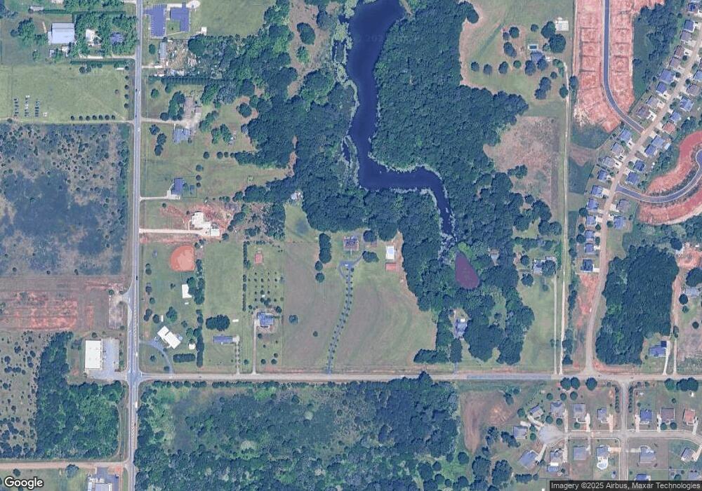
Map
Nearby Homes
- 0 Hwy 41 & Langston Rd Unit M170042
- 118 Bramblewood Way
- 128 Bramblewood Ln
- 124 Bramblewood Ln
- 0 Langston Rd Unit 16828609
- 103 Breakwater Way
- 107 Breakwater Way
- 111 Breakwater Way
- 210 Overton Dr
- 220 Overton Dr
- Savannah Plan at Bankstone Landing
- Newport Plan at Bankstone Landing
- Delaware Plan at Bankstone Landing
- 302 Brampton Way
- 219 Overton Dr
- 149 MacK Thompson Road Common
- 2111 N Us Hwy 41
- 161 Overton Dr
- 3004 Cellar Ln
- 309 E River Cane Run
- 459 Langston Rd
- 477 Langston Rd
- 2208 Us Highway 41 N
- 465 Langston Rd
- 479 Langston Rd
- 2210 Us Highway 41 N
- 463 Langston Rd
- 2200 Us Highway 41 N
- 2212 Us Highway 41 N
- 2214 Us Highway 41 N
- 111 Rippling Water Way
- 113 Rippling Water Way
- 2140 Us Highway 41 N
- 117 Rippling Water Way
- 119 Rippling Water Way
- 102 Brampton Way
- 102 Brampton Way(156)
- 2140 N Hwy
- 115 Rippling Water Way
- 121 Rippling Water Way