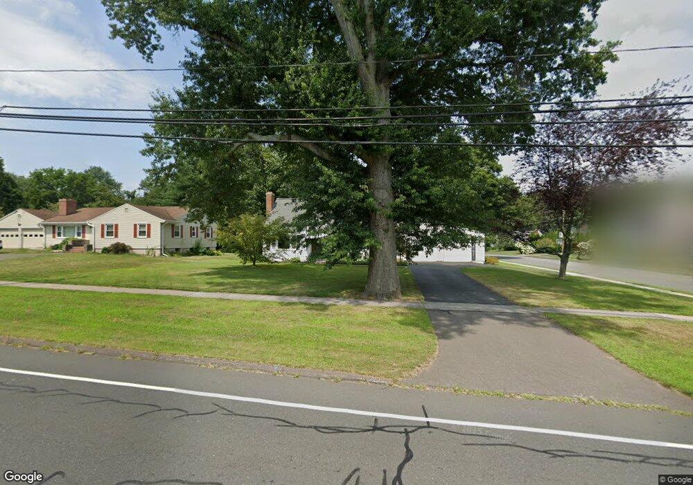
471 Maple St Wethersfield, CT 06109
Estimated Value: $376,000 - $406,000
2
Beds
3
Baths
1,591
Sq Ft
$246/Sq Ft
Est. Value
About This Home
This home is located at 471 Maple St, Wethersfield, CT 06109 and is currently estimated at $391,585, approximately $246 per square foot. 471 Maple St is a home located in Hartford County with nearby schools including Highcrest School, Silas Deane Middle School, and Wethersfield High School.
Create a Home Valuation Report for This Property
The Home Valuation Report is an in-depth analysis detailing your home's value as well as a comparison with similar homes in the area
Home Values in the Area
Average Home Value in this Area
Tax History
| Year | Tax Paid | Tax Assessment Tax Assessment Total Assessment is a certain percentage of the fair market value that is determined by local assessors to be the total taxable value of land and additions on the property. | Land | Improvement |
|---|---|---|---|---|
| 2025 | $9,945 | $241,260 | $90,850 | $150,410 |
| 2024 | $7,052 | $163,160 | $67,200 | $95,960 |
| 2023 | $6,817 | $163,160 | $67,200 | $95,960 |
| 2022 | $6,691 | $162,870 | $67,200 | $95,670 |
| 2021 | $6,624 | $162,870 | $67,200 | $95,670 |
| 2020 | $6,627 | $162,870 | $67,200 | $95,670 |
| 2019 | $6,635 | $162,870 | $67,200 | $95,670 |
| 2018 | $6,688 | $164,000 | $63,600 | $100,400 |
| 2017 | $6,522 | $164,000 | $63,600 | $100,400 |
| 2016 | $6,321 | $164,000 | $63,600 | $100,400 |
| 2015 | $6,263 | $164,000 | $63,600 | $100,400 |
| 2014 | $6,025 | $164,000 | $63,600 | $100,400 |
Source: Public Records
Map
Nearby Homes
- 492 Maple St
- 11 Charter Rd
- 70 Mountain Laurel Dr Unit 70
- 31 Ox Yoke Dr
- 152 Ox Yoke Dr
- 38 Wheeler Rd
- 750 Wolcott Hill Rd
- 99 Maple St
- 252 Middletown Ave
- 993 Cloverdale Cir
- 131 Coleman Rd
- 146 Dudley Rd
- 147 Spring St
- 18 Mcintosh Cir Unit 18
- 519 Prospect St
- 158 Dix Rd
- 124 Midwell Rd
- 268 Fox Hill Rd
- 35 Stillwold Dr
- 1610 Silas Deane Hwy
Your Personal Tour Guide
Ask me questions while you tour the home.