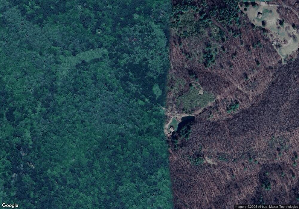
471 Mink Ridge Ln Mouth of Wilson, VA 24363
Mouth of Wilson NeighborhoodEstimated Value: $319,000 - $656,964
3
Beds
1
Bath
1,842
Sq Ft
$241/Sq Ft
Est. Value
About This Home
This home is located at 471 Mink Ridge Ln, Mouth of Wilson, VA 24363 and is currently estimated at $443,988, approximately $241 per square foot. 471 Mink Ridge Ln is a home located in Grayson County with nearby schools including Grayson County High School.
Ownership History
Date
Name
Owned For
Owner Type
Purchase Details
Closed on
Dec 23, 2020
Sold by
Hart Tammy Jo
Bought by
Presley Heidi G
Current Estimated Value
Home Financials for this Owner
Home Financials are based on the most recent Mortgage that was taken out on this home.
Original Mortgage
$180,000
Outstanding Balance
$160,539
Interest Rate
2.8%
Mortgage Type
VA
Estimated Equity
$283,449
Create a Home Valuation Report for This Property
The Home Valuation Report is an in-depth analysis detailing your home's value as well as a comparison with similar homes in the area
Home Values in the Area
Average Home Value in this Area
Purchase History
| Date | Buyer | Sale Price | Title Company |
|---|---|---|---|
| Presley Heidi G | $180,000 | Rakes Elizabeth | |
| Presley Heidi G | $180,000 | Rakes Elizabeth |
Source: Public Records
Mortgage History
| Date | Status | Borrower | Loan Amount |
|---|---|---|---|
| Open | Presley Heidi G | $180,000 | |
| Closed | Presley Heidi G | $180,000 |
Source: Public Records
Tax History Compared to Growth
Tax History
| Year | Tax Paid | Tax Assessment Tax Assessment Total Assessment is a certain percentage of the fair market value that is determined by local assessors to be the total taxable value of land and additions on the property. | Land | Improvement |
|---|---|---|---|---|
| 2024 | $2,705 | $500,900 | $456,600 | $44,300 |
| 2023 | $2,921 | $500,900 | $456,600 | $44,300 |
| 2022 | $2,923 | $500,900 | $456,600 | $44,300 |
| 2021 | $3,139 | $495,400 | $456,600 | $38,800 |
| 2020 | $3,089 | $495,400 | $456,600 | $38,800 |
| 2019 | $2,583 | $495,400 | $456,600 | $38,800 |
| 2018 | $2,583 | $495,400 | $456,600 | $38,800 |
| 2017 | $2,583 | $495,400 | $456,600 | $38,800 |
| 2016 | -- | $502,900 | $464,100 | $38,800 |
| 2015 | -- | $0 | $0 | $0 |
| 2014 | -- | $0 | $0 | $0 |
| 2013 | -- | $0 | $0 | $0 |
Source: Public Records
Map
Nearby Homes
- 5550 Troutdale Hwy
- TBD Highlands Pkwy
- 65 Green Gable Rd
- TBD York Ridge Estates
- 1029 York Ridge Rd
- TBD- lot 1 Mayito Ln
- TBD- lot 2 Mayito Ln
- 2 Mayito Ln
- TBD lot 3 Mayito Ln
- 3543 Troutdale Hwy
- TBD lot 4 Mayito Ln
- 3445 Troutdale Hwy
- TBD Flat Ridge Rd
- 3323 Rugby Rd
- TBD Fishers Dr
- TBD Pine Branch Rd
- 81 Timberline Rd
- 60 Viewpoint Ln
- 10489 Troutdale Hwy
- 983 Ripshin Rd
- 656 Serenity Trail
- 190 Mink Ridge Ln
- 162 Mink Ridge Ln
- 1480 Highlands Pkwy
- 616 Little Wilson Rd
- 17 Mink Ridge Ln
- 4030 Comers Rock Rd
- 1043 Little Wilson Rd
- 534 Little Wilson Rd
- 550 Little Wilson Rd
- 903 Little Wilson Rd
- 1266 Little Wilson Rd
- 1666 Highlands Pkwy
- 436 Little Wilson Rd
- 1323 Little Wilson Rd
- 348 Little Wilson Rd
- 1404 Highlands Pkwy
- 1348 Highlands Pkwy
- 1770 Highlands Pkwy
- 407 Little Wilson Rd
