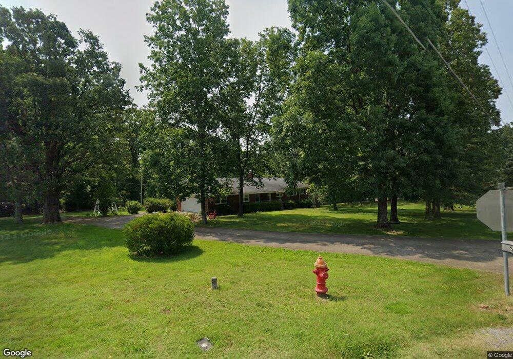
471 Powers Blvd Waverly, TN 37185
Estimated Value: $80,000 - $132,000
About This Home
This home is located at 471 Powers Blvd, Waverly, TN 37185 and is currently estimated at $106,000, approximately $63 per square foot. 471 Powers Blvd is a home located in Humphreys County.
Ownership History
We collect this data history from publicly available records. To have your information removed, we recommend requesting removal directly through your county’s website.
Purchase Details
Purchase Details
Purchase Details
Purchase Details
Home Values in the Area
Average Home Value in this Area
Purchase History
We collect this data history from publicly available records. To have your information removed, we recommend requesting removal directly through your county’s website.
| Date | Buyer | Sale Price | Title Company |
|---|---|---|---|
| -- | None Listed On Document | ||
| -- | None Listed On Document | ||
| -- | None Listed On Document | ||
| -- | None Available | ||
| $145,000 | None Available | ||
| -- | -- |
Tax History
We collect this data history from publicly available records. To have your information removed, we recommend requesting removal directly through your county’s website.
| Year | Tax Paid | Tax Assessment Tax Assessment Total Assessment is a certain percentage of the fair market value that is determined by local assessors to be the total taxable value of land and additions on the property. | Land | Improvement |
|---|---|---|---|---|
| 2025 | $366 | $12,050 | $12,050 | $0 |
| 2024 | -- | $12,050 | $12,050 | $0 |
| 2023 | $367 | $12,050 | $12,050 | $0 |
| 2022 | $381 | $11,875 | $11,875 | $0 |
| 2021 | $381 | $11,875 | $11,875 | $0 |
| 2020 | $381 | $11,875 | $11,875 | $0 |
| 2019 | $387 | $11,750 | $11,750 | $0 |
| 2018 | $1,197 | $10,225 | $10,225 | $0 |
| 2017 | $1,197 | $36,350 | $11,825 | $24,525 |
| 2016 | $1,123 | $31,550 | $11,825 | $19,725 |
| 2015 | $1,123 | $31,550 | $11,825 | $19,725 |
| 2014 | $1,123 | $31,547 | $0 | $0 |
Map
- 470 Powers Blvd
- 118 Dylark Dr
- 109 Whippoorwill Dr
- 811 E Powers Blvd
- 45 Bill Ct
- 0 Cedar Hill Dr Unit Lot 7
- 206 Dreaden St
- 111 Bern St
- 106 Dogwood Cir
- 120 Bern St
- 203 Dogwood Cir
- 103 Parker Ave
- 95 Sunset Dr
- 201 Post Rd
- 102 Sutton Ave
- 0 Rustling Oaks Dr
- 0 S Railroad St Unit RTC3225127
- 95 Bowman Ct
- 862 Chambers Spring Rd
- 209 Armstrong St
- 279 Cedar Hill Dr
- 475 Powers Blvd
- 280 Cedar Hill Dr
- 472 Powers Blvd
- 260 Cedar Hill Dr
- 467 Powers Blvd
- 466 Powers Blvd
- 240 Cedar Hill Dr
- 103 Dylark Dr
- 477 Powers Blvd
- 105 Dylark Dr
- 456 Powers Blvd
- 220 Cedar Hill Dr
- 481 Powers Blvd
- 104 Dylark Dr
- 211 Cedar Hill Dr
- 210 Cedar Hill Dr
- 107 Dylark Dr
- 452 Powers Blvd
- 108 Dylark Dr
Ask me questions while you tour the home.