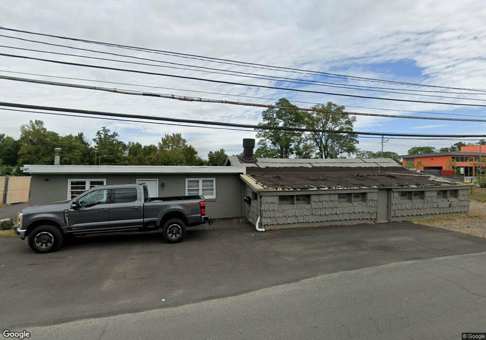
471 State Route 36 Port Monmouth, NJ 07758
Estimated Value: $638,864
--
Bed
--
Bath
2,500
Sq Ft
$256/Sq Ft
Est. Value
About This Home
This home is located at 471 State Route 36, Port Monmouth, NJ 07758 and is currently estimated at $638,864, approximately $255 per square foot. 471 State Route 36 is a home located in Monmouth County with nearby schools including Port Monmouth Elementary School, Thorne Middle School, and Middletown High School North.
Ownership History
Date
Name
Owned For
Owner Type
Purchase Details
Closed on
Dec 27, 2022
Sold by
Roje Solutions Limited Liability Company
Bought by
99 First Ave Assoc Llc
Current Estimated Value
Purchase Details
Closed on
Mar 23, 2012
Sold by
Werner Stanley C and Werner Martha E
Bought by
Roje Solutions Llc
Create a Home Valuation Report for This Property
The Home Valuation Report is an in-depth analysis detailing your home's value as well as a comparison with similar homes in the area
Home Values in the Area
Average Home Value in this Area
Purchase History
| Date | Buyer | Sale Price | Title Company |
|---|---|---|---|
| 99 First Ave Assoc Llc | $500,000 | Trident Abstract Title | |
| 99 First Ave Assoc Llc | $500,000 | Trident Abstract Title | |
| Roje Solutions Llc | $350,000 | Red Bank Title Agency Inc |
Source: Public Records
Tax History Compared to Growth
Tax History
| Year | Tax Paid | Tax Assessment Tax Assessment Total Assessment is a certain percentage of the fair market value that is determined by local assessors to be the total taxable value of land and additions on the property. | Land | Improvement |
|---|---|---|---|---|
| 2025 | $8,283 | $556,200 | $439,000 | $117,200 |
| 2024 | $8,508 | $503,500 | $388,800 | $114,700 |
| 2023 | $8,508 | $489,500 | $376,300 | $113,200 |
| 2022 | $9,807 | $481,900 | $376,300 | $105,600 |
| 2021 | $9,807 | $471,500 | $376,300 | $95,200 |
| 2020 | $10,027 | $469,000 | $376,300 | $92,700 |
| 2019 | $9,891 | $468,300 | $376,300 | $92,000 |
| 2018 | $10,144 | $468,100 | $376,300 | $91,800 |
| 2017 | $10,247 | $468,100 | $376,300 | $91,800 |
| 2016 | $9,975 | $468,100 | $376,300 | $91,800 |
| 2015 | $10,331 | $468,100 | $376,300 | $91,800 |
| 2014 | $10,593 | $468,100 | $376,300 | $91,800 |
Source: Public Records
Map
Nearby Homes
- 35 Willow St
- 309 Church St
- 9 Brentwood Terrace
- 147 Church St
- 617 Carter Ave
- 79 Compton St Unit A & B
- 135 Railroad Ave
- 19 Walada Ave
- 310 East Rd
- 230 Main St
- 2 Lydia Place
- 251 Main St Unit AH
- 78 Wilson Ave
- 62 Brainard Ave
- 143 Tindall Rd
- 39 Bayberry Ln
- 35 Montana Ave
- 22 Mills Ave
- 635 Hudson Ave
- 42 Cherry Tree Farm Rd
- 463 State Route 36
- 52 Willow St
- 56 Willow St
- 58 Willow St
- 50 Willow St
- 447 State Route 36
- 503 State Route 36
- 504 State Route 36
- 48 Willow St
- 60 Willow St
- 46 Willow St
- 510 State Route 36
- 429 New Jersey 36
- 429-435 Highway 36
- 53 Willow St
- 44 Willow St
- 306 Zilinski Dr
- 304 Zilinski Dr
- 303 Zilinski Dr
- 305 Zilinski Dr