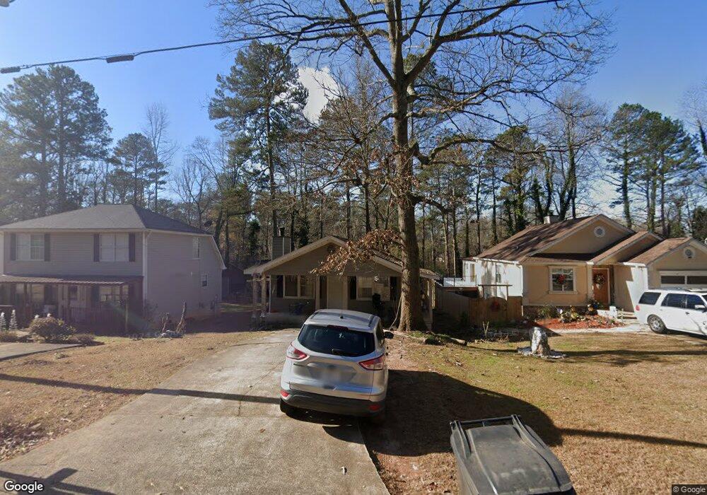
4710 Bryant Rd Buford, GA 30518
Estimated Value: $293,000 - $332,000
3
Beds
2
Baths
1,504
Sq Ft
$209/Sq Ft
Est. Value
About This Home
This home is located at 4710 Bryant Rd, Buford, GA 30518 and is currently estimated at $313,912, approximately $208 per square foot. 4710 Bryant Rd is a home located in Gwinnett County with nearby schools including Buford Elementary School, Buford Academy, and Buford Senior Academy.
Ownership History
Date
Name
Owned For
Owner Type
Purchase Details
Closed on
Mar 25, 2020
Sold by
Jab O Lay Properties Llc
Bought by
Adyaws Enterprises Llc
Current Estimated Value
Purchase Details
Closed on
Dec 31, 2008
Sold by
R Geratoni Properties Llc
Bought by
Jab O Lay Properties Llc
Purchase Details
Closed on
Sep 6, 2005
Sold by
Winn Phyllis M
Bought by
R Geratoni Properties Llc
Purchase Details
Closed on
Aug 31, 2001
Sold by
Mcginty Lance C and Mcginty Deborah W
Bought by
Winn M
Home Financials for this Owner
Home Financials are based on the most recent Mortgage that was taken out on this home.
Original Mortgage
$109,500
Interest Rate
10.7%
Mortgage Type
New Conventional
Create a Home Valuation Report for This Property
The Home Valuation Report is an in-depth analysis detailing your home's value as well as a comparison with similar homes in the area
Home Values in the Area
Average Home Value in this Area
Purchase History
| Date | Buyer | Sale Price | Title Company |
|---|---|---|---|
| Adyaws Enterprises Llc | -- | -- | |
| Jab O Lay Properties Llc | $110,000 | -- | |
| R Geratoni Properties Llc | $69,500 | -- | |
| Winn M | $109,500 | -- |
Source: Public Records
Mortgage History
| Date | Status | Borrower | Loan Amount |
|---|---|---|---|
| Previous Owner | Winn M | $109,500 |
Source: Public Records
Tax History Compared to Growth
Tax History
| Year | Tax Paid | Tax Assessment Tax Assessment Total Assessment is a certain percentage of the fair market value that is determined by local assessors to be the total taxable value of land and additions on the property. | Land | Improvement |
|---|---|---|---|---|
| 2025 | $1,907 | $132,920 | $26,800 | $106,120 |
| 2024 | $1,749 | $121,880 | $19,600 | $102,280 |
| 2023 | $1,749 | $121,880 | $19,600 | $102,280 |
| 2022 | $1,368 | $95,320 | $16,000 | $79,320 |
| 2021 | $726 | $50,600 | $8,000 | $42,600 |
| 2020 | $726 | $50,600 | $8,000 | $42,600 |
| 2019 | $557 | $50,600 | $8,000 | $42,600 |
| 2018 | $656 | $50,600 | $8,000 | $42,600 |
| 2016 | $417 | $32,560 | $4,000 | $28,560 |
| 2015 | $390 | $29,400 | $4,000 | $25,400 |
| 2014 | $281 | $20,800 | $3,000 | $17,800 |
Source: Public Records
Map
Nearby Homes
- 2938 Pebblebrook Dr
- 2930 Blake Towers Ln
- 2910 Blake Towers Ln
- 2416 Loughridge Dr
- 2307 Loughridge Dr
- 405 Thunder Rd
- 3271 Meadow Lily Ct
- 4375 Easter Lily Ave
- 4304 Grey Park Dr
- 3026 Sea Aster Way
- 3016 Sea Aster Way
- 879 Gainesville Hwy
- 3340 Ivey Ridge Rd
- 1098 Caruso Dr
- 5758 Hickory Wood Ln
- 5758 Hickory Wood Ln Unit 336
- 403 Thunder Rd
- 446 Thunder Rd
- 286 Oakland Ave
- 282 Oakland Ave
- 4720 Bryant Rd Unit 1
- 4700 Bryant Rd
- 2900 Vernon Ct
- 4730 Bryant Rd
- 4690 Bryant Rd
- 4740 Bryant Rd
- 4680 Bryant Rd
- 2896 Vernon Ct
- 3035 Pebblebrook Dr
- 4670 Bryant Rd Unit 1
- 3039 Pebblebrook Dr
- 2892 Vernon Ct
- 2903 Vernon Ct
- 3001 Pebblebrook Dr
- 4750 Bryant Rd
- 3005 Pebblebrook Dr
- 4660 Bryant Rd
- 2893 Vernon Ct
- 3031 Pebblebrook Dr
- 2894 Amber Ct