4710 Fm 2919 Rd East Bernard, TX 77435
Estimated Value: $441,579 - $585,000
2
Beds
1
Bath
2,748
Sq Ft
$187/Sq Ft
Est. Value
About This Home
This home is located at 4710 Fm 2919 Rd, East Bernard, TX 77435 and is currently estimated at $513,290, approximately $186 per square foot. 4710 Fm 2919 Rd is a home with nearby schools including East Bernard Elementary School, East Bernard Junior High School, and East Bernard High School.
Ownership History
Date
Name
Owned For
Owner Type
Purchase Details
Closed on
Sep 14, 2012
Sold by
Murrile John W and Murrile Beverly
Bought by
Cavness Jacob and Cavness Rebecca
Current Estimated Value
Home Financials for this Owner
Home Financials are based on the most recent Mortgage that was taken out on this home.
Original Mortgage
$147,000
Outstanding Balance
$101,957
Interest Rate
3.62%
Estimated Equity
$411,333
Create a Home Valuation Report for This Property
The Home Valuation Report is an in-depth analysis detailing your home's value as well as a comparison with similar homes in the area
Home Values in the Area
Average Home Value in this Area
Purchase History
| Date | Buyer | Sale Price | Title Company |
|---|---|---|---|
| Cavness Jacob | -- | Mid Coast Title Co Inc |
Source: Public Records
Mortgage History
| Date | Status | Borrower | Loan Amount |
|---|---|---|---|
| Open | Cavness Jacob | $147,000 |
Source: Public Records
Tax History Compared to Growth
Tax History
| Year | Tax Paid | Tax Assessment Tax Assessment Total Assessment is a certain percentage of the fair market value that is determined by local assessors to be the total taxable value of land and additions on the property. | Land | Improvement |
|---|---|---|---|---|
| 2024 | $5,680 | $366,609 | $69,268 | $297,341 |
| 2023 | $6,375 | $318,050 | $77,338 | $240,712 |
| 2022 | $6,960 | $347,250 | $67,250 | $280,000 |
| 2021 | $7,181 | $314,232 | $67,250 | $246,982 |
| 2020 | $6,349 | $274,232 | $67,250 | $206,982 |
| 2019 | $6,177 | $254,232 | $67,250 | $186,982 |
| 2018 | $4,806 | $221,033 | $67,250 | $153,783 |
| 2017 | $4,782 | $221,033 | $67,250 | $153,783 |
| 2016 | $4,739 | $221,033 | $67,250 | $153,783 |
| 2015 | -- | $177,067 | $26,280 | $150,787 |
| 2014 | -- | $100,973 | $26,280 | $74,693 |
Source: Public Records
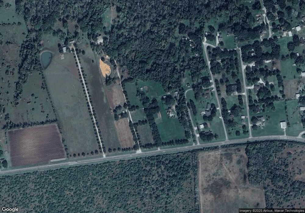
Map
Nearby Homes
- 0 Farm To Market Road 2919
- TBD Battle Rd
- 12318 Battle Rd
- 14150 Battle Rd
- 13025 Battle Rd
- 0 Koym Rd Unit 23561366
- 719 Clubside Dr
- 835 Tropicana Blvd
- 823 Seydler St
- 507 Fitzgerald St
- 915 Bernard Meadows Dr
- 222 Behrens St
- 15239 Battle Rd
- 3518 Texas 60
- 0000 W Koym Rd
- 0 Stockton St
- 0 Texas 60
- 0 Highway 90 Alternate
- 000 Texas 60
- TBD Highway 90 Alternate
- 4522 Fm 2919 Rd
- 2026 Twin Oaks St
- 2022 Twin Oaks St
- 2014 Pecan Ln
- 2008 Twin Oaks St
- 2035 Twin Oaks St
- 2022 W Cypress Rd
- 2002 Twin Oaks St
- 2011 Twin Oaks St
- 1922 Twin Oaks St
- 2031 W Cypress Rd
- 2023 W Cypress Rd
- 2039 W Cypress Rd
- 2011 W Cypress Rd
- 2001 W Cypress Rd
- 1928 W Cypress Rd
- 1920 Twin Oaks St
- 1828 W Cypress Rd
- 1820 W Cypress Rd
- 1810 W Cypress Rd