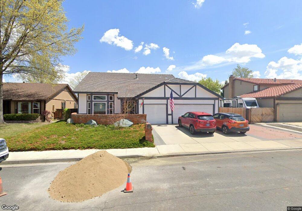
4710 Pinesprings Dr Reno, NV 89509
Skyline Boulevard NeighborhoodEstimated Value: $668,120 - $716,000
3
Beds
3
Baths
2,084
Sq Ft
$330/Sq Ft
Est. Value
About This Home
This home is located at 4710 Pinesprings Dr, Reno, NV 89509 and is currently estimated at $688,530, approximately $330 per square foot. 4710 Pinesprings Dr is a home located in Washoe County with nearby schools including Huffaker Elementary School, Edward L Pine Middle School, and Reno High School.
Ownership History
Date
Name
Owned For
Owner Type
Purchase Details
Closed on
Oct 10, 2023
Sold by
Charles W Ellis 2016 Revocable Living Tr
Bought by
Jim & Julie Devine Community Property Trust and Devine
Current Estimated Value
Purchase Details
Closed on
Jan 6, 2016
Sold by
Ellis Charles W
Bought by
Ellis Charles William and Charles W Ellis 2016 Revocable Living Tr
Create a Home Valuation Report for This Property
The Home Valuation Report is an in-depth analysis detailing your home's value as well as a comparison with similar homes in the area
Home Values in the Area
Average Home Value in this Area
Purchase History
| Date | Buyer | Sale Price | Title Company |
|---|---|---|---|
| Jim & Julie Devine Community Property Trust | -- | None Listed On Document | |
| Ellis Charles William | -- | None Available |
Source: Public Records
Tax History Compared to Growth
Tax History
| Year | Tax Paid | Tax Assessment Tax Assessment Total Assessment is a certain percentage of the fair market value that is determined by local assessors to be the total taxable value of land and additions on the property. | Land | Improvement |
|---|---|---|---|---|
| 2026 | -- | $111,812 | $54,425 | $57,387 |
| 2025 | $2,702 | $109,814 | $50,610 | $59,204 |
| 2024 | $2,702 | $106,895 | $47,425 | $59,470 |
| 2023 | $1,964 | $104,084 | $47,495 | $56,589 |
| 2022 | $2,548 | $90,728 | $43,120 | $47,608 |
| 2021 | $2,474 | $77,261 | $29,470 | $47,791 |
| 2020 | $2,400 | $78,308 | $29,925 | $48,383 |
| 2019 | $2,330 | $74,656 | $27,930 | $46,726 |
| 2018 | $2,263 | $66,948 | $20,720 | $46,228 |
| 2017 | $2,136 | $66,841 | $20,055 | $46,786 |
| 2016 | $2,136 | $66,301 | $19,670 | $46,631 |
| 2015 | $2,132 | $62,291 | $15,400 | $46,891 |
| 2014 | $2,070 | $58,479 | $12,985 | $45,494 |
| 2013 | -- | $54,811 | $9,765 | $45,046 |
Source: Public Records
Map
Nearby Homes
- 795 Twin Pines Ct
- 4314 Clyde Ct
- 4233 Baker Ln
- 630 Sapphire Cir
- 4185 Baker Ln
- 4022 Millbrook Ln
- 4899 Cool Springs Dr
- 4003 Bluegrass Ct Unit A
- 4009 Ruth Ct
- 4004 Ruth Ct
- 4875 Golden Springs Dr
- 1160 Yates Ln
- 3834 Lakeside Dr Unit 18
- 3830 Lakeside Dr Unit 16
- 3828 Lakeside Dr Unit 15
- 3826 Lakeside Dr Unit 14
- 4740 Plumas St
- 2108 Chicory Way Unit 2108A
- 5012 Lakeridge Terrace E
- 718 W Pleasant Oak Trail
- 4704 Pinesprings Dr
- 4720 Pinesprings Dr
- 4705 Brittany Ct
- 4685 Brittany Ct
- 4725 Brittany Ct
- 4730 Pinesprings Dr
- 4702 Pinesprings Dr
- 4715 Pinesprings Dr
- 4705 Pinesprings Dr
- 4665 Brittany Ct
- 4745 Brittany Ct
- 4725 Pinesprings Dr
- 4740 Pinesprings Dr
- 4701 Pinesprings Dr
- 4700 Pinesprings Dr
- 4765 Brittany Ct
- 4645 Brittany Ct
- 4735 Pinesprings Dr
- 4690 Brittany Ct
- 4785 Brittany Ct