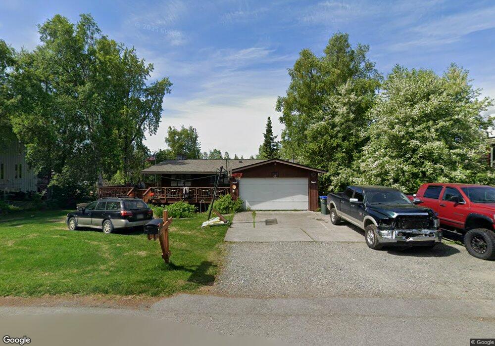
4712 Malibu Rd Anchorage, AK 99517
Spenard NeighborhoodEstimated Value: $287,000 - $558,000
4
Beds
2
Baths
1,280
Sq Ft
$324/Sq Ft
Est. Value
About This Home
This home is located at 4712 Malibu Rd, Anchorage, AK 99517 and is currently estimated at $414,284, approximately $323 per square foot. 4712 Malibu Rd is a home located in Anchorage Municipality with nearby schools including Northwood Elementary School, Romig Middle School, and West High School.
Ownership History
Date
Name
Owned For
Owner Type
Purchase Details
Closed on
Jul 5, 2005
Sold by
Brandon Edward and Brandon Mable
Bought by
Nelson Dennis A and Nelson Louise M
Current Estimated Value
Home Financials for this Owner
Home Financials are based on the most recent Mortgage that was taken out on this home.
Original Mortgage
$200,000
Outstanding Balance
$148,967
Interest Rate
5.46%
Mortgage Type
Purchase Money Mortgage
Estimated Equity
$265,318
Create a Home Valuation Report for This Property
The Home Valuation Report is an in-depth analysis detailing your home's value as well as a comparison with similar homes in the area
Home Values in the Area
Average Home Value in this Area
Purchase History
| Date | Buyer | Sale Price | Title Company |
|---|---|---|---|
| Nelson Dennis A | -- | -- |
Source: Public Records
Mortgage History
| Date | Status | Borrower | Loan Amount |
|---|---|---|---|
| Open | Nelson Dennis A | $200,000 |
Source: Public Records
Tax History Compared to Growth
Tax History
| Year | Tax Paid | Tax Assessment Tax Assessment Total Assessment is a certain percentage of the fair market value that is determined by local assessors to be the total taxable value of land and additions on the property. | Land | Improvement |
|---|---|---|---|---|
| 2025 | $7,223 | $468,600 | $111,500 | $357,100 |
| 2024 | $7,223 | $447,400 | $111,500 | $335,900 |
| 2023 | $6,967 | $409,100 | $111,500 | $297,600 |
| 2022 | $6,797 | $403,600 | $111,400 | $292,200 |
| 2021 | $6,503 | $360,900 | $111,400 | $249,500 |
| 2020 | $6,091 | $358,300 | $111,400 | $246,900 |
| 2019 | $5,878 | $359,300 | $111,400 | $247,900 |
| 2018 | $5,753 | $350,800 | $111,400 | $239,400 |
| 2017 | $5,938 | $379,200 | $111,400 | $267,800 |
| 2016 | $5,165 | $395,400 | $117,300 | $278,100 |
| 2015 | $5,165 | $373,500 | $117,300 | $256,200 |
| 2014 | $5,165 | $346,700 | $117,300 | $229,400 |
Source: Public Records
Map
Nearby Homes
- 2891 W Intl Airport Rd Unit C108
- 2815 W International Airport Rd Unit B104
- 2808 Iris Dr
- 4302 Forrest Rd
- 3333 Lakeshore Dr Unit 5
- 3333 Lakeshore Dr Unit 2
- 2101 W 47th Ave
- NHN Northwood Dr
- 5000 Northwood Dr
- 3913 Barbara Dr
- 4000 Iowa Dr
- 2040 Wenmatt Cir
- 1808 W 47th Ave
- 2202 Lincoln Ave
- 3900 Crosson Dr
- 6017 Collins Way
- 6305 Blackberry St
- 2105 Mckinley Ave
- 2820 Wiley Post Ave
- 3223 W 62nd Ave
- 2792 Valleywood Dr
- 4708 Malibu Rd
- 4718 Malibu Rd
- 2798 Valleywood Dr
- 2798 Valleywood Dr Unit B
- 2801 Valleywood Dr
- 4715 Malibu Rd
- 2803 Valleywood Dr
- 4704 Malibu Rd
- 4827 Klamath Dr Unit 9B
- 4833 Klamath Dr Unit 10B
- 4719 Malibu Rd
- 4709 Malibu Rd
- 2705 Klamath Dr
- 2800 Valleywood Dr
- 2800 Valleywood Dr Unit B
- 4802 Malibu Rd
- 2707 Klamath Dr
- 4707 Malibu Rd
- 4707 Malibu Rd Unit 30