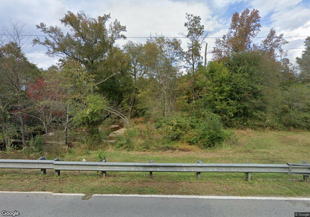
4712 Pool Rd Winston, GA 30187
Bill Arp NeighborhoodEstimated Value: $564,413 - $726,000
4
Beds
5
Baths
2,238
Sq Ft
$291/Sq Ft
Est. Value
About This Home
This home is located at 4712 Pool Rd, Winston, GA 30187 and is currently estimated at $650,353, approximately $290 per square foot. 4712 Pool Rd is a home located in Douglas County with nearby schools including Bill Arp Elementary School, Fairplay Middle School, and Alexander High School.
Ownership History
Date
Name
Owned For
Owner Type
Purchase Details
Closed on
Apr 15, 2019
Sold by
Munro Family Properties Llc
Bought by
Bryson Wallace N and Bryson Tonya R
Current Estimated Value
Home Financials for this Owner
Home Financials are based on the most recent Mortgage that was taken out on this home.
Original Mortgage
$300,000
Outstanding Balance
$263,753
Interest Rate
4.3%
Mortgage Type
New Conventional
Estimated Equity
$386,600
Purchase Details
Closed on
Jun 13, 2015
Sold by
Munro William S
Bought by
Munro Family Properties Llc
Create a Home Valuation Report for This Property
The Home Valuation Report is an in-depth analysis detailing your home's value as well as a comparison with similar homes in the area
Home Values in the Area
Average Home Value in this Area
Purchase History
| Date | Buyer | Sale Price | Title Company |
|---|---|---|---|
| Bryson Wallace N | $400,000 | -- | |
| Munro Family Properties Llc | -- | -- |
Source: Public Records
Mortgage History
| Date | Status | Borrower | Loan Amount |
|---|---|---|---|
| Open | Bryson Wallace N | $300,000 |
Source: Public Records
Tax History Compared to Growth
Tax History
| Year | Tax Paid | Tax Assessment Tax Assessment Total Assessment is a certain percentage of the fair market value that is determined by local assessors to be the total taxable value of land and additions on the property. | Land | Improvement |
|---|---|---|---|---|
| 2024 | $5,941 | $188,840 | $70,520 | $118,320 |
| 2023 | $5,941 | $188,840 | $70,520 | $118,320 |
| 2022 | $4,875 | $149,720 | $50,320 | $99,400 |
| 2021 | $4,171 | $127,880 | $50,320 | $77,560 |
| 2020 | $4,241 | $127,880 | $50,320 | $77,560 |
| 2019 | $3,895 | $125,800 | $50,320 | $75,480 |
| 2018 | $840 | $122,640 | $50,320 | $72,320 |
| 2017 | $886 | $108,920 | $45,240 | $63,680 |
| 2016 | $927 | $100,560 | $43,000 | $57,560 |
| 2015 | $1,002 | $95,560 | $41,640 | $53,920 |
| 2014 | $1,002 | $96,920 | $49,760 | $47,160 |
| 2013 | -- | $110,760 | $61,720 | $49,040 |
Source: Public Records
Map
Nearby Homes
- 7537 Berea Rd
- 7346 Banks Mill Rd
- 7448 Berea Rd
- 7350 Banks Mill Rd
- 6957 Mason Creek Rd
- 0 Hwy 5 Unit 10652363
- 4462 Highway 5
- 6917 Laurelwood Dr
- 6896 Laurelwood Dr
- 6857 Alexander Pkwy
- 6867 Laurelwood Dr
- 4067 Mason Creek Rd
- 0 Dorsett Shoals Rd Unit 7336228
- 0 Dorsett Shoals Rd Unit 20170850
- 6851 Alexander Pkwy
- 3949 Georgia 5
- 5156 Oakdale Ct
- 4935 Big a Rd
- 4185 Pool Rd
- 6535 Manor Creek Dr
- 7390 Milam Rd
- 4716 Pool Rd
- 7720 Milam Rd
- 7720 Milam Rd
- 7370 Milam Rd
- 4730 Pool Rd
- 7347 Milam Rd
- 7375 Milam Rd
- 7365 Milam Rd
- 4663 Pool Rd
- 7315 Milam Rd
- 4630 W Glen Ridge Cir
- 4644 W Glen Ridge Cir
- 4644 W Glenn Ridge Unit 4
- 7309 Glen Dr
- 4654 W Glen Ridge Cir
- 4666 W Glen Ridge Cir
- 4751 Pool Rd
- 7304 Milam Rd
- 4678 W Glen Ridge Cir
