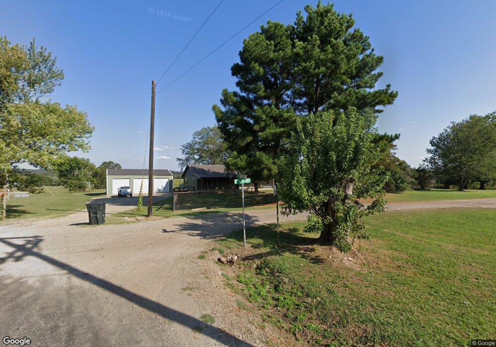
471250 E 1092 Rd Muldrow, OK 74948
Estimated Value: $216,711 - $307,000
3
Beds
2
Baths
1,800
Sq Ft
$147/Sq Ft
Est. Value
About This Home
This home is located at 471250 E 1092 Rd, Muldrow, OK 74948 and is currently estimated at $265,428, approximately $147 per square foot. 471250 E 1092 Rd is a home located in Sequoyah County with nearby schools including Muldrow Elementary School, Muldrow Middle School, and Muldrow High School.
Ownership History
Date
Name
Owned For
Owner Type
Purchase Details
Closed on
Oct 29, 2024
Sold by
Taylor Lydia and Sharp Jarrett
Bought by
Ragsdale Family Trust and Ragsdale
Current Estimated Value
Purchase Details
Closed on
Jul 9, 2010
Sold by
Green Becky and Green Rebecca Ann
Bought by
Taylor Rebecca Ann and Taylor Robert Chris
Create a Home Valuation Report for This Property
The Home Valuation Report is an in-depth analysis detailing your home's value as well as a comparison with similar homes in the area
Home Values in the Area
Average Home Value in this Area
Purchase History
| Date | Buyer | Sale Price | Title Company |
|---|---|---|---|
| Ragsdale Family Trust | -- | None Listed On Document | |
| Taylor Rebecca Ann | -- | None Available |
Source: Public Records
Tax History Compared to Growth
Tax History
| Year | Tax Paid | Tax Assessment Tax Assessment Total Assessment is a certain percentage of the fair market value that is determined by local assessors to be the total taxable value of land and additions on the property. | Land | Improvement |
|---|---|---|---|---|
| 2024 | $1,213 | $15,128 | $880 | $14,248 |
| 2023 | $1,004 | $14,687 | $880 | $13,807 |
| 2022 | $942 | $14,259 | $880 | $13,379 |
| 2021 | $943 | $14,273 | $880 | $13,393 |
| 2020 | $631 | $9,884 | $745 | $9,139 |
| 2019 | $611 | $9,597 | $721 | $8,876 |
| 2018 | $591 | $9,318 | $683 | $8,635 |
| 2017 | $572 | $9,046 | $655 | $8,391 |
| 2016 | $553 | $8,783 | $686 | $8,097 |
| 2015 | $535 | $8,527 | $649 | $7,878 |
| 2014 | $517 | $8,279 | $615 | $7,664 |
Source: Public Records
Map
Nearby Homes
- 109651 S 4720 Rd
- 108412 S 4720 Rd
- 475745 E 1083 Rd
- TBD S 4720 Rd
- 107774 S 4720
- 469958 E 1099 Rd
- Tbd Water Tower Rd
- 203 Pendergrass St
- 111024 S 4710 Rd
- 470511 E 1110 Rd
- 1 Oklahoma 64b
- TBD Hugo St
- 110134 S 4696 Rd
- 300 S Fargo St
- 101 NE 2nd St
- 705 Wesley Ln
- 103756 Oklahoma 64b
- 471804 E 1070 Rd
- 110411 S 4696 Rd
- TBD Sequoyah St
- 471221 E 1092 Rd
- 109052 S 4715 Rd
- 109578 S 4720 Rd
- 471113 E 1092 Rd
- 471567 E 1090 Rd
- 471725 E 1090 Rd
- 109193 S 4712 Rd
- 471783 E 1090 Rd
- 471726 E 1090 Rd
- 471728 E 1090 Rd
- 471728 E 1090 Rd
- 471219 E 1090 Rd
- 471874 E 1090 Rd
- 109015 S 4712 Rd
- 109394 S 4710 Rd
- 471672 E 1086 Rd
- 109324 S 4710 Rd
- 109503 S 4720 Rd
- 108892 S 4720 Rd
- 471610 E 1086 Rd