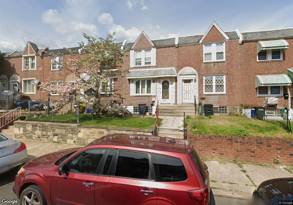
4713 Lansing St Philadelphia, PA 19136
Holmesburg NeighborhoodEstimated Value: $186,000 - $238,000
3
Beds
1
Bath
1,046
Sq Ft
$195/Sq Ft
Est. Value
About This Home
This home is located at 4713 Lansing St, Philadelphia, PA 19136 and is currently estimated at $203,661, approximately $194 per square foot. 4713 Lansing St is a home located in Philadelphia County with nearby schools including Edwin Forrest Elementary School, Lincoln High School, and Meehan Austin Middle School.
Ownership History
Date
Name
Owned For
Owner Type
Purchase Details
Closed on
Mar 1, 2005
Sold by
Marricone Virginia A
Bought by
Cooper Christian and Cooper Kelli
Current Estimated Value
Home Financials for this Owner
Home Financials are based on the most recent Mortgage that was taken out on this home.
Original Mortgage
$63,000
Interest Rate
1.1%
Mortgage Type
Fannie Mae Freddie Mac
Create a Home Valuation Report for This Property
The Home Valuation Report is an in-depth analysis detailing your home's value as well as a comparison with similar homes in the area
Home Values in the Area
Average Home Value in this Area
Purchase History
| Date | Buyer | Sale Price | Title Company |
|---|---|---|---|
| Cooper Christian | $70,000 | The Security Title Guarantee |
Source: Public Records
Mortgage History
| Date | Status | Borrower | Loan Amount |
|---|---|---|---|
| Previous Owner | Cooper Christian | $63,000 |
Source: Public Records
Tax History Compared to Growth
Tax History
| Year | Tax Paid | Tax Assessment Tax Assessment Total Assessment is a certain percentage of the fair market value that is determined by local assessors to be the total taxable value of land and additions on the property. | Land | Improvement |
|---|---|---|---|---|
| 2025 | $1,716 | $167,300 | $33,460 | $133,840 |
| 2024 | $1,716 | $167,300 | $33,460 | $133,840 |
| 2023 | $1,716 | $122,600 | $24,520 | $98,080 |
| 2022 | $672 | $77,600 | $24,520 | $53,080 |
| 2021 | $1,302 | $0 | $0 | $0 |
| 2020 | $1,302 | $0 | $0 | $0 |
| 2019 | $1,250 | $0 | $0 | $0 |
| 2018 | $1,148 | $0 | $0 | $0 |
| 2017 | $1,148 | $0 | $0 | $0 |
| 2016 | $728 | $0 | $0 | $0 |
| 2015 | $637 | $0 | $0 | $0 |
| 2014 | -- | $77,500 | $14,380 | $63,120 |
| 2012 | -- | $13,600 | $1,404 | $12,196 |
Source: Public Records
Map
Nearby Homes
- 4702 Lansing St
- 4727 Meridian St
- 4745 Meridian St
- 4747 Hartel Ave
- 4626 Ashville St
- 4602 Ashville St
- 4737 Oakmont St
- 4743 Oakmont St
- 4624 Rhawn St
- 4556 Marple St
- 7507 Torresdale Ave
- 4762 Oakmont St
- 7505 Torresdale Ave
- 4715 Shelmire Ave
- 4766 Oakmont St
- 4764 Oakmont St
- 4520 Sheffield St
- 4605 Shelmire Ave
- 4415 Mcmenamy St
- 4764 Shelmire Ave
- 4715 Lansing St
- 4711 Lansing St
- 4709 Lansing St
- 4717 Lansing St
- 4719 Lansing St
- 4707 Lansing St
- 4705 Lansing St
- 4721 Lansing St
- 4712 Hartel Ave
- 4714 Hartel Ave
- 4710 Hartel Ave
- 4716 Hartel Ave
- 4723 Lansing St
- 4703 Lansing St
- 4708 Hartel Ave
- 4718 Hartel Ave
- 4706 Hartel Ave
- 4720 Hartel Ave
- 4725 Lansing St
- 4704 Hartel Ave