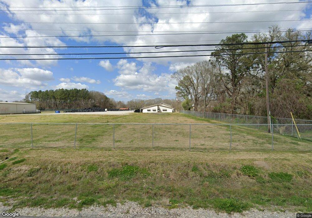
4714 Cameron St Lafayette, LA 70506
Central Lafayette Parish NeighborhoodEstimated Value: $696,894
--
Bed
--
Bath
7,200
Sq Ft
$97/Sq Ft
Est. Value
About This Home
This home is located at 4714 Cameron St, Lafayette, LA 70506 and is currently estimated at $696,894, approximately $96 per square foot. 4714 Cameron St is a home located in Lafayette Parish with nearby schools including Westside Elementary School, Scott Middle School, and Acadiana High School.
Ownership History
Date
Name
Owned For
Owner Type
Purchase Details
Closed on
Apr 18, 2024
Sold by
Span Llc
Bought by
Jones Environmental Inc
Current Estimated Value
Home Financials for this Owner
Home Financials are based on the most recent Mortgage that was taken out on this home.
Original Mortgage
$602,504
Outstanding Balance
$593,502
Interest Rate
6.88%
Mortgage Type
Credit Line Revolving
Estimated Equity
$103,392
Purchase Details
Closed on
Jul 20, 2022
Sold by
Charles Champagne Stafford
Bought by
Span Llc
Create a Home Valuation Report for This Property
The Home Valuation Report is an in-depth analysis detailing your home's value as well as a comparison with similar homes in the area
Home Values in the Area
Average Home Value in this Area
Purchase History
| Date | Buyer | Sale Price | Title Company |
|---|---|---|---|
| Jones Environmental Inc | $695,000 | None Listed On Document | |
| Span Llc | -- | None Listed On Document |
Source: Public Records
Mortgage History
| Date | Status | Borrower | Loan Amount |
|---|---|---|---|
| Open | Jones Environmental Inc | $602,504 |
Source: Public Records
Tax History Compared to Growth
Tax History
| Year | Tax Paid | Tax Assessment Tax Assessment Total Assessment is a certain percentage of the fair market value that is determined by local assessors to be the total taxable value of land and additions on the property. | Land | Improvement |
|---|---|---|---|---|
| 2024 | $6,509 | $71,538 | $18,621 | $52,917 |
| 2023 | $6,509 | $26,298 | $18,621 | $7,677 |
| 2022 | $2,391 | $26,298 | $18,621 | $7,677 |
| 2021 | $2,295 | $25,146 | $18,621 | $6,525 |
| 2020 | $2,284 | $25,146 | $18,621 | $6,525 |
| 2019 | $2,276 | $26,298 | $18,621 | $7,677 |
| 2018 | $2,297 | $26,298 | $18,621 | $7,677 |
| 2017 | $2,294 | $26,298 | $18,621 | $7,677 |
| 2015 | $2,907 | $51,128 | $43,451 | $7,677 |
| 2013 | -- | $33,328 | $25,650 | $7,678 |
Source: Public Records
Map
Nearby Homes
- 120 Galbert Rd
- 301 Debonnaire Rd
- 106 Sylvia St
- 2518 Walker Rd
- 114 Clay Rd
- 140 Credit Dr
- 2700 W Blk Willow
- 410 Lauren Dr
- 229 Alpine Dr
- 223 Berchman Oaks Dr
- 217 Berchman Oaks Dr
- 1500 Ambassador Caffery Pkwy
- 102 Fig St
- 100 Fig St
- 103 Fig St
- 600 Ambassador Caffery Pkwy
- 1530 Ambassador Caffery
- 232 Mills St
- 102 Berchman Oaks Dr
- 105 Harvest Pointe Cir
- 4907 Cameron St
- 113 Tressie St
- 109 Tressie St
- 103 Tressie St
- 105 Tressie St
- 0 Cameron St
- 4805 Cameron St
- 4614 Cameron St
- 4103 Cameron St
- 4103 Cameron St Unit A
- 112 Benman Rd
- 108 Galbert Rd
- 100 Benman Rd
- 4895 Cameron St
- 214 Debonnaire Rd
- 220 Debonnaire Rd
- 100 Maywood St
- 9 Benman Rd
- 0 Benman Rd
- 105 Maywood St