4714 Highway 76 W Clayton, GA 30525
Estimated Value: $252,000 - $711,969
1
Bed
1
Bath
912
Sq Ft
$445/Sq Ft
Est. Value
About This Home
This home is located at 4714 Highway 76 W, Clayton, GA 30525 and is currently estimated at $405,742, approximately $444 per square foot. 4714 Highway 76 W is a home with nearby schools including Rabun County Primary School, Rabun County High School, and Great Oaks Montessori .
Ownership History
Date
Name
Owned For
Owner Type
Purchase Details
Closed on
Jul 7, 2023
Sold by
Blake Robert
Bought by
Genteman Drew Christopher and Genteman Crystal Covington
Current Estimated Value
Purchase Details
Closed on
Feb 11, 2022
Sold by
Breit Edward W
Bought by
Blake Robert
Home Financials for this Owner
Home Financials are based on the most recent Mortgage that was taken out on this home.
Original Mortgage
$217,800
Interest Rate
3.55%
Mortgage Type
Cash
Purchase Details
Closed on
Oct 23, 2008
Sold by
Not Provided
Bought by
Breit Edward W
Purchase Details
Closed on
Apr 1, 2004
Bought by
Schatzberg Ronald J
Purchase Details
Closed on
Apr 1, 1972
Create a Home Valuation Report for This Property
The Home Valuation Report is an in-depth analysis detailing your home's value as well as a comparison with similar homes in the area
Home Values in the Area
Average Home Value in this Area
Purchase History
| Date | Buyer | Sale Price | Title Company |
|---|---|---|---|
| Genteman Drew Christopher | $440,000 | -- | |
| Blake Robert | $242,000 | -- | |
| Blake Robert | $242,000 | -- | |
| Breit Edward W | $60,000 | -- | |
| Breit Edward W | $60,000 | -- | |
| Schatzberg Ronald J | $48,000 | -- | |
| Schatzberg Ronald J | $48,000 | -- | |
| -- | $1,000 | -- | |
| -- | $1,000 | -- |
Source: Public Records
Mortgage History
| Date | Status | Borrower | Loan Amount |
|---|---|---|---|
| Previous Owner | Blake Robert | $217,800 |
Source: Public Records
Tax History Compared to Growth
Tax History
| Year | Tax Paid | Tax Assessment Tax Assessment Total Assessment is a certain percentage of the fair market value that is determined by local assessors to be the total taxable value of land and additions on the property. | Land | Improvement |
|---|---|---|---|---|
| 2025 | $1,703 | $106,132 | $30,218 | $75,914 |
| 2024 | $1,637 | $102,015 | $30,218 | $71,797 |
| 2023 | $1,556 | $85,026 | $27,876 | $57,150 |
| 2022 | $1,491 | $81,486 | $26,134 | $55,352 |
| 2021 | $903 | $48,168 | $24,392 | $23,776 |
| 2020 | $934 | $48,168 | $24,392 | $23,776 |
| 2019 | $941 | $48,168 | $24,392 | $23,776 |
| 2018 | $817 | $41,684 | $24,392 | $17,292 |
| 2017 | $784 | $41,684 | $24,392 | $17,292 |
| 2016 | $786 | $41,684 | $24,392 | $17,292 |
| 2015 | $814 | $42,267 | $24,392 | $17,875 |
| 2014 | $820 | $42,339 | $24,464 | $17,875 |
Source: Public Records
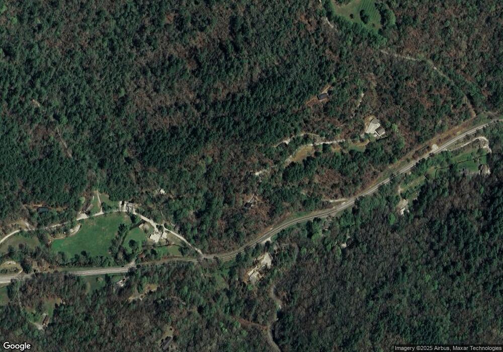
Map
Nearby Homes
- 0 Highway 76 E Unit 7628537
- 0 Highway 76 E Unit 10566724
- 0 Highway 76 E Unit 10579447
- 3197 Bridge Creek Rd
- 144 David Dr
- 489 Glassy Orchard Rd
- 3.15 ACRES Barnyard Ln
- 146 David Dr
- 0 Round Top Dr Unit 43B 10606429
- 832 Round Top Dr
- 63 Redwood Ln
- 38 Old Blue Trail
- 0 Peach Orchard Way
- 0 River Birch Ln Unit LOT 32 10554197
- 488 Northridge
- 0 Nichols at Tate City Ln Unit 6 10559154
- 32 Hill Camp Ln
- 0 Woodall Rd Unit 10618919
- 503 Wright Brothers Way
- 201 Lasso Ln
- 4716 Highway 76 W
- 4716 Hwy 76 W
- 70 Highway 76 Loop
- 70 Hwy 76 Loop
- 70 Highway 76 Loop
- 0 Hwy 76 E Unit 5982093
- 0 Highway 76 E Unit TR B 2702271
- 0 Highway 76 E Unit 2702240
- 0 Highway 76 E Unit TR C 2702832
- 0 Highway 76 E Unit TR A 2702792
- 0 Highway 76 W Unit 2572512
- 0 Hwy 76 E Unit 2603966
- 0 Hwy 76 E Unit 3058402
- 0 Highway 76 W Unit TRACT 3 3162790
- 0 Highway 76 W Unit TRACT 3 7037946
- 0 Highway 76 E Unit 3172705
- 0 Highway 76 E Unit 7134028
- 0 Highway 76 E Unit TRACT 5 7201877
- 0 Highway 76 E Unit TRACT 6 7201892
- 0 Highway 76 E Unit LOT 4 7201867