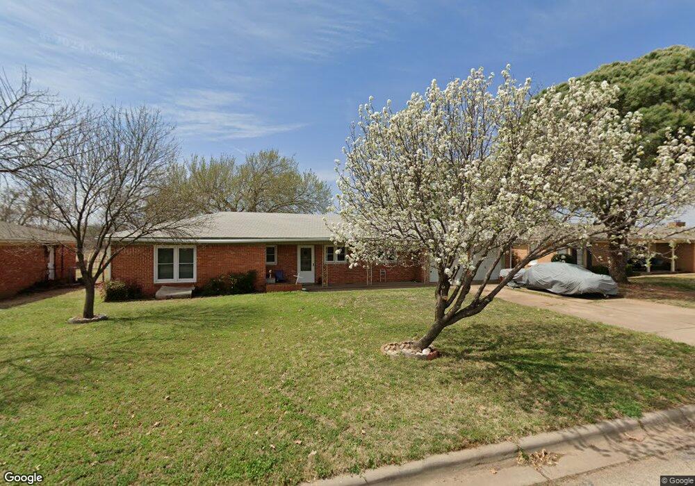
4714 Neta Ln Unit R Wichita Falls, TX 76302
Estimated Value: $167,353 - $176,000
3
Beds
2
Baths
1,316
Sq Ft
$130/Sq Ft
Est. Value
About This Home
This home is located at 4714 Neta Ln Unit R, Wichita Falls, TX 76302 and is currently estimated at $171,677, approximately $130 per square foot. 4714 Neta Ln Unit R is a home located in Wichita County with nearby schools including Fain Elementary School, McNiel Middle School, and Rider High School.
Ownership History
Date
Name
Owned For
Owner Type
Purchase Details
Closed on
Nov 29, 2017
Sold by
Bartlett Linda Faye and Estate Of Evelyn M Talley
Bought by
Talley Jimmy L and Talley Jimmy Lee
Current Estimated Value
Home Financials for this Owner
Home Financials are based on the most recent Mortgage that was taken out on this home.
Original Mortgage
$25,600
Outstanding Balance
$14,252
Interest Rate
3.94%
Mortgage Type
Purchase Money Mortgage
Estimated Equity
$157,425
Purchase Details
Closed on
Sep 23, 2008
Sold by
Talley James A and Talley Evelyn M
Bought by
Talley Evelyn M
Create a Home Valuation Report for This Property
The Home Valuation Report is an in-depth analysis detailing your home's value as well as a comparison with similar homes in the area
Home Values in the Area
Average Home Value in this Area
Purchase History
| Date | Buyer | Sale Price | Title Company |
|---|---|---|---|
| Talley Jimmy L | -- | None Available | |
| Talley Evelyn M | -- | None Available |
Source: Public Records
Mortgage History
| Date | Status | Borrower | Loan Amount |
|---|---|---|---|
| Open | Talley Jimmy L | $25,600 |
Source: Public Records
Tax History Compared to Growth
Tax History
| Year | Tax Paid | Tax Assessment Tax Assessment Total Assessment is a certain percentage of the fair market value that is determined by local assessors to be the total taxable value of land and additions on the property. | Land | Improvement |
|---|---|---|---|---|
| 2025 | $1,601 | $165,484 | -- | -- |
| 2024 | $3,494 | $150,440 | -- | -- |
| 2023 | $3,234 | $136,764 | $0 | $0 |
| 2022 | $3,172 | $124,331 | $0 | $0 |
| 2021 | $2,886 | $113,028 | $8,500 | $106,929 |
| 2020 | $2,656 | $102,753 | $8,500 | $96,518 |
| 2019 | $2,435 | $93,412 | $8,500 | $84,912 |
| 2018 | $942 | $90,650 | $8,500 | $82,150 |
| 2017 | $2,103 | $82,717 | $8,500 | $74,217 |
| 2016 | $2,050 | $80,616 | $8,500 | $72,116 |
| 2015 | $737 | $78,295 | $8,500 | $69,795 |
| 2014 | $737 | $81,244 | $0 | $0 |
Source: Public Records
Map
Nearby Homes
- 4731 Alamo Dr
- 4801 Alamo Dr
- 1540 Glendale Dr
- 1522 Glendale Dr
- 4707 Florist St
- 4804 Hollandale Ave
- 4515 Westridge Dr
- 5002 Joyce Ln
- 1543 Sweetbriar Dr
- 1554 Mesquite St
- 1520 Sweetbriar Dr
- 4908 Andria Dr
- 1522 S Winds Dr
- 4515 Dunbarton Dr
- 5001 Della Dr
- 4800 Earl St
- 1587 Singleton Ave
- 4303 Gorman Rd
- 1605 Weeks St
- 9 Mitzi Cove