4714 NW 411th Cir Woodland, WA 98674
Estimated Value: $961,559 - $1,289,000
4
Beds
3
Baths
3,372
Sq Ft
$331/Sq Ft
Est. Value
About This Home
This home is located at 4714 NW 411th Cir, Woodland, WA 98674 and is currently estimated at $1,116,640, approximately $331 per square foot. 4714 NW 411th Cir is a home located in Clark County with nearby schools including Woodland High School.
Ownership History
Date
Name
Owned For
Owner Type
Purchase Details
Closed on
Feb 27, 2013
Sold by
Haines Willis R and Haines Darlene K
Bought by
Lott Robert W and Mills Lott Hayley A
Current Estimated Value
Home Financials for this Owner
Home Financials are based on the most recent Mortgage that was taken out on this home.
Original Mortgage
$423,000
Outstanding Balance
$295,780
Interest Rate
3.34%
Mortgage Type
New Conventional
Estimated Equity
$820,860
Create a Home Valuation Report for This Property
The Home Valuation Report is an in-depth analysis detailing your home's value as well as a comparison with similar homes in the area
Home Values in the Area
Average Home Value in this Area
Purchase History
| Date | Buyer | Sale Price | Title Company |
|---|---|---|---|
| Lott Robert W | $470,000 | Columbia Title Agency |
Source: Public Records
Mortgage History
| Date | Status | Borrower | Loan Amount |
|---|---|---|---|
| Open | Lott Robert W | $423,000 |
Source: Public Records
Tax History Compared to Growth
Tax History
| Year | Tax Paid | Tax Assessment Tax Assessment Total Assessment is a certain percentage of the fair market value that is determined by local assessors to be the total taxable value of land and additions on the property. | Land | Improvement |
|---|---|---|---|---|
| 2025 | $8,646 | $920,528 | $280,175 | $640,353 |
| 2024 | $6,693 | $873,787 | $280,175 | $593,612 |
| 2023 | $8,493 | $909,510 | $284,872 | $624,638 |
| 2022 | $7,910 | $869,681 | $265,682 | $603,999 |
| 2021 | $7,452 | $752,308 | $222,545 | $529,763 |
| 2020 | $7,304 | $666,413 | $197,952 | $468,461 |
| 2019 | $6,775 | $654,976 | $187,231 | $467,745 |
| 2018 | $7,103 | $673,811 | $0 | $0 |
| 2017 | $6,497 | $594,932 | $0 | $0 |
| 2016 | $5,931 | $622,018 | $0 | $0 |
| 2015 | $6,075 | $537,384 | $0 | $0 |
| 2014 | -- | $528,066 | $0 | $0 |
| 2013 | -- | $469,677 | $0 | $0 |
Source: Public Records
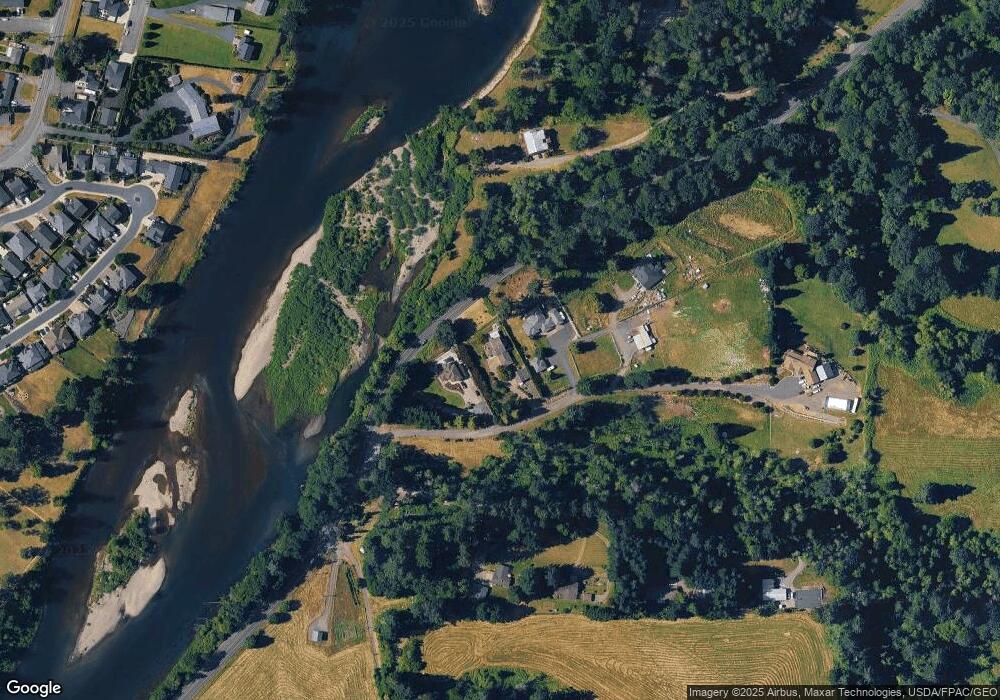
Map
Nearby Homes
- 2009 Lewis River Rd Unit 17
- 3060 Spruce Ave
- 3040 Spruce Ave
- 3070 Spruce Ave
- 3079 Heron St
- Melody Plan at Riverwalk at Lewis River
- Harris Plan at Riverwalk at Lewis River
- Daniel Plan at Riverwalk at Lewis River
- 4311 NW 419th St
- 2185 Dahlia St
- 3119 Heron St
- 3109 Heron St
- 1986 Meadowood Loop
- 4008 NW 402nd St
- 3033 Salmon St
- 284 Gun Club Rd
- 3043 Salmon St
- 1833 Hawthorne Ct
- 2242 Ash St Unit 20
- 2254 Ash St Unit Lot 18
- 4700 NW 411th Cir
- 4800 NW 411th Cir
- 4709 NW Hayes Rd
- 0 NW 411th Cir
- 0 See Tax Id Unit 13161959
- 4819 NW Bridge Rd
- 4418 NW Hayes Rd
- 4620 NW 411th Cir
- 4717 NW Bridge Rd
- 4703 NW Bridge Rd
- 4519 NW Bridge Rd
- 4500 NW 411th Cir
- 230 Misty Dr
- 234 Misty Dr
- 226 Misty Dr
- 222 Misty Dr
- 4415 NW Bridge Rd
- 218 Misty Dr
- 4410 NW Hayes Rd
- 214 Misty Dr