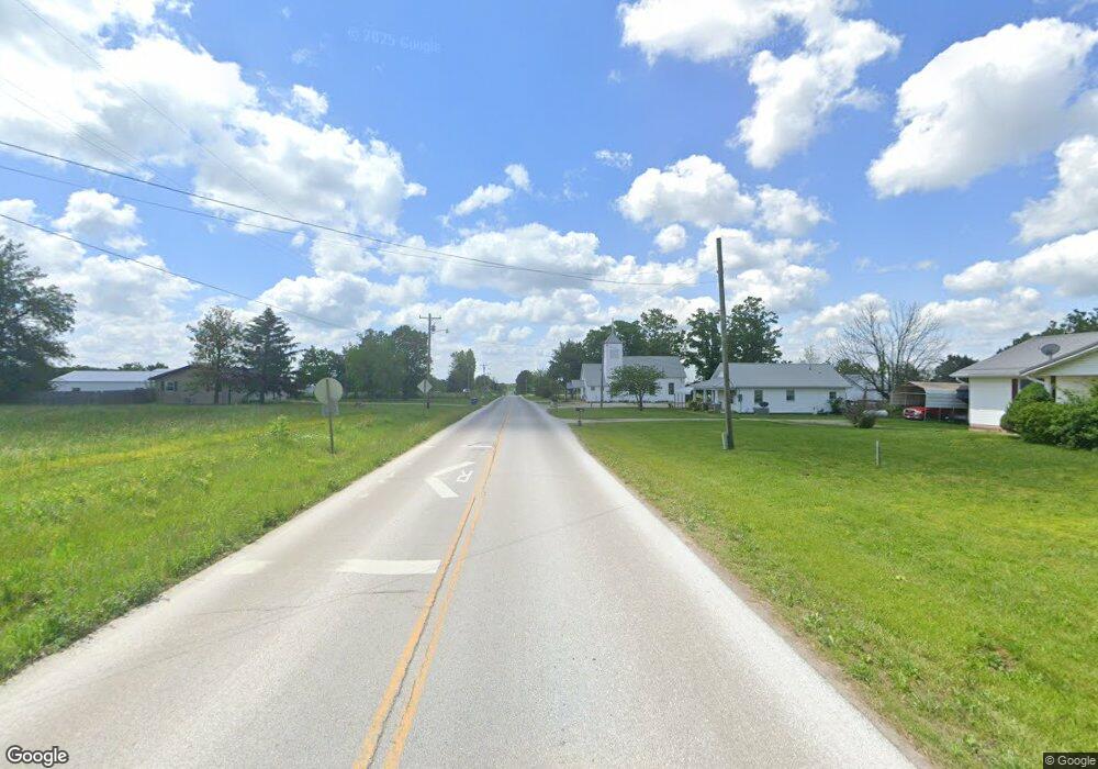
4714 State Highway Nn Seymour, MO 65746
Estimated Value: $291,000 - $461,000
--
Bed
--
Bath
1,764
Sq Ft
$205/Sq Ft
Est. Value
About This Home
This home is located at 4714 State Highway Nn, Seymour, MO 65746 and is currently estimated at $361,964, approximately $205 per square foot. 4714 State Highway Nn is a home with nearby schools including Fordland Elementary School, Fordland Middle School, and Fordland High School.
Ownership History
Date
Name
Owned For
Owner Type
Purchase Details
Closed on
Jan 18, 2025
Sold by
Faulkner Amy Davis and Faulkner Ricky
Bought by
Davis Brian
Current Estimated Value
Home Financials for this Owner
Home Financials are based on the most recent Mortgage that was taken out on this home.
Original Mortgage
$110,000
Outstanding Balance
$109,242
Interest Rate
6.85%
Mortgage Type
New Conventional
Estimated Equity
$252,722
Create a Home Valuation Report for This Property
The Home Valuation Report is an in-depth analysis detailing your home's value as well as a comparison with similar homes in the area
Home Values in the Area
Average Home Value in this Area
Purchase History
| Date | Buyer | Sale Price | Title Company |
|---|---|---|---|
| Davis Brian | -- | None Listed On Document | |
| Davis Brian | -- | None Listed On Document |
Source: Public Records
Mortgage History
| Date | Status | Borrower | Loan Amount |
|---|---|---|---|
| Open | Davis Brian | $110,000 | |
| Closed | Davis Brian | $110,000 |
Source: Public Records
Tax History Compared to Growth
Tax History
| Year | Tax Paid | Tax Assessment Tax Assessment Total Assessment is a certain percentage of the fair market value that is determined by local assessors to be the total taxable value of land and additions on the property. | Land | Improvement |
|---|---|---|---|---|
| 2024 | $2,292 | $46,040 | $0 | $0 |
| 2023 | $2,273 | $46,040 | $0 | $0 |
| 2022 | $2,274 | $46,040 | $0 | $0 |
| 2021 | $2,273 | $46,040 | $0 | $0 |
| 2020 | $2,088 | $41,880 | $0 | $0 |
| 2019 | $1,913 | $41,880 | $0 | $0 |
| 2018 | $1,915 | $41,880 | $0 | $0 |
| 2017 | $1,893 | $41,880 | $0 | $0 |
| 2016 | $1,699 | $37,240 | $0 | $0 |
| 2015 | $1,787 | $37,240 | $0 | $0 |
| 2012 | -- | $37,260 | $0 | $0 |
Source: Public Records
Map
Nearby Homes
- 300 Partners Dr
- 2757 Green Hill Rd
- 000 Windswept Dr
- 5798 State Highway Bb
- 473 Patterson St
- 5679 State Highway Bb
- 84 - A Buttercup Ln
- 84 Buttercup Ln
- 000 Lot 4 Tract 1 & Tract 2
- 000 Lot 4
- 000 Tract 1 & Tract 2
- Lot 1 Cornelison Ln
- Lot 2 Cornelison Ln
- 341 S Center St
- 248 Pleasant Ln
- 148 E Front St
- 792 Frog Pond Rd
- 142 Acorn Hill Dr
- 703 Mockingbird Rd
- 000 Spout Spring Rd
- 4712 State Highway Nn
- 4793 State Highway Nn
- 4545 State Highway Nn
- 5112 State Highway Nn
- 662 Bluejay Rd
- 612 Bluejay Rd
- 589 Bluejay Rd
- 208 Bluejay Rd
- 665 Bluejay Rd
- 657 Bluejay Rd
- 0 Bluejay Rd Unit 10805060
- 0 Bluejay Rd Unit 10907190
- 487 Bluejay Rd
- 345 Bluejay Rd
- 5337 State Highway Nn
- 834 Country View Rd
- 5041 State Highway C
- 1091 Country View Rd
- 5527 State Highway Nn
- 0 Country View Rd
