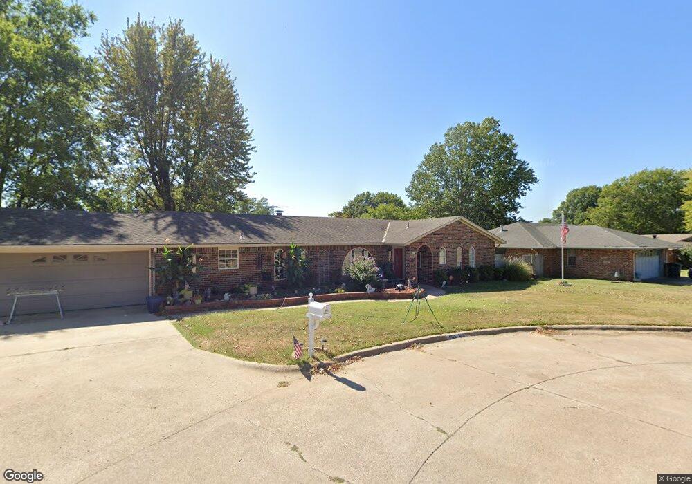
4715 Harned Place Bartlesville, OK 74006
Estimated Value: $171,000 - $255,000
4
Beds
2
Baths
1,960
Sq Ft
$110/Sq Ft
Est. Value
About This Home
This home is located at 4715 Harned Place, Bartlesville, OK 74006 and is currently estimated at $215,004, approximately $109 per square foot. 4715 Harned Place is a home located in Washington County with nearby schools including Ranch Heights Elementary School, Madison Middle School, and Bartlesville High School.
Ownership History
Date
Name
Owned For
Owner Type
Purchase Details
Closed on
Sep 13, 2012
Sold by
Willy Betty R
Bought by
Johnson George L and Johnson Mary Ellen
Current Estimated Value
Home Financials for this Owner
Home Financials are based on the most recent Mortgage that was taken out on this home.
Original Mortgage
$68,000
Outstanding Balance
$46,930
Interest Rate
3.59%
Mortgage Type
New Conventional
Estimated Equity
$168,074
Purchase Details
Closed on
Jan 7, 2010
Sold by
S And L Properties Llc
Bought by
Armstrong Bank
Create a Home Valuation Report for This Property
The Home Valuation Report is an in-depth analysis detailing your home's value as well as a comparison with similar homes in the area
Home Values in the Area
Average Home Value in this Area
Purchase History
| Date | Buyer | Sale Price | Title Company |
|---|---|---|---|
| Johnson George L | $85,000 | None Available | |
| Armstrong Bank | $124,558 | -- |
Source: Public Records
Mortgage History
| Date | Status | Borrower | Loan Amount |
|---|---|---|---|
| Open | Johnson George L | $68,000 |
Source: Public Records
Tax History Compared to Growth
Tax History
| Year | Tax Paid | Tax Assessment Tax Assessment Total Assessment is a certain percentage of the fair market value that is determined by local assessors to be the total taxable value of land and additions on the property. | Land | Improvement |
|---|---|---|---|---|
| 2025 | $1,672 | $15,375 | $1,920 | $13,455 |
| 2024 | $1,672 | $14,927 | $1,920 | $13,007 |
| 2023 | $1,672 | $14,492 | $1,920 | $12,572 |
| 2022 | $1,566 | $14,070 | $2,040 | $12,030 |
| 2021 | $1,535 | $14,070 | $2,040 | $12,030 |
| 2020 | $1,569 | $14,070 | $2,040 | $12,030 |
| 2019 | $1,532 | $13,750 | $2,040 | $11,710 |
| 2018 | $1,476 | $13,350 | $2,040 | $11,310 |
| 2017 | $1,511 | $13,350 | $2,040 | $11,310 |
| 2016 | $1,418 | $13,350 | $2,040 | $11,310 |
| 2015 | $1,440 | $13,350 | $2,040 | $11,310 |
| 2014 | $2,484 | $21,384 | $2,040 | $19,344 |
Source: Public Records
Map
Nearby Homes
- 5269 Nowata Rd Unit O102
- 5217 Nowata Rd Unit 203C
- 5217 Nowata Rd Unit C204
- 5239 Nowata Rd Unit H102
- 5229 Nowata Rd Unit F101
- 1912 Lester Ave
- 1521 Lariat Dr
- 1500 Harris Dr
- 4821 SE Barlow Dr
- 1869 Putnam Dr
- 1801 Rolling Hills Place
- 5301 Barnett Ave
- 4908 SE Barlow Dr
- 1425 S Madison Blvd
- 1435 Lariat Dr
- 2104 SE Lester
- 4607 Rolling Hills Dr
- 5300 Charleston Dr
- 5205 Charleston Dr
- 1354 Harris Dr
- 4707 Harned Place
- 4725 Harned Place
- 4724 Harned Place
- 4710 Harned Ct
- 4701 Harned Place
- 4725 Harned Ct
- 4716 Harned Place
- 4708 Harned Place
- 1702 Harned Dr
- 1742 Harned Dr
- 4717 Harned Ct
- 4702 Harned Ct
- 4709 Harned Ct
- 4703 Harned Ct
- 1717 Harned Dr
- 1725 Harned Dr
- 5111 Nowata Rd
- 1645 Macklyn Ln
- 1709 Harned Dr
- 1733 Harned Dr