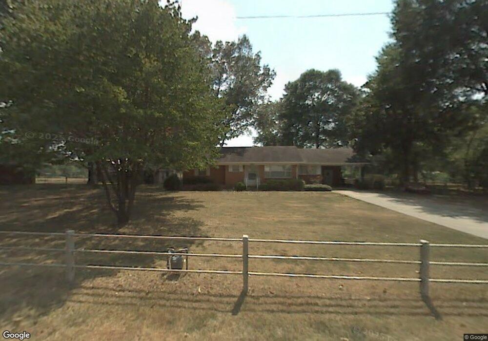
4717 Boone Rd Bryant, AR 72022
Estimated Value: $208,378 - $282,000
Studio
2
Baths
1,850
Sq Ft
$139/Sq Ft
Est. Value
About This Home
This home is located at 4717 Boone Rd, Bryant, AR 72022 and is currently estimated at $256,845, approximately $138 per square foot. 4717 Boone Rd is a home located in Saline County with nearby schools including Hurricane Creek Elementary School and Arkansas Christian Academy.
Ownership History
Date
Name
Owned For
Owner Type
Purchase Details
Closed on
Oct 5, 2006
Sold by
Jones Irvin and Jones Doris C
Bought by
Heard Kenneth Joe and Heard Barbara Kay
Current Estimated Value
Home Financials for this Owner
Home Financials are based on the most recent Mortgage that was taken out on this home.
Original Mortgage
$184,000
Interest Rate
6.44%
Mortgage Type
New Conventional
Purchase Details
Closed on
Jun 29, 1999
Bought by
Jones Trust
Purchase Details
Closed on
Mar 11, 1998
Bought by
Jones
Create a Home Valuation Report for This Property
The Home Valuation Report is an in-depth analysis detailing your home's value as well as a comparison with similar homes in the area
Home Values in the Area
Average Home Value in this Area
Purchase History
| Date | Buyer | Sale Price | Title Company |
|---|---|---|---|
| Heard Kenneth Joe | $230,000 | -- | |
| Jones Trust | -- | -- | |
| Jones | -- | -- |
Source: Public Records
Mortgage History
| Date | Status | Borrower | Loan Amount |
|---|---|---|---|
| Previous Owner | Heard Kenneth Joe | $184,000 |
Source: Public Records
Tax History
| Year | Tax Paid | Tax Assessment Tax Assessment Total Assessment is a certain percentage of the fair market value that is determined by local assessors to be the total taxable value of land and additions on the property. | Land | Improvement |
|---|---|---|---|---|
| 2025 | $1,622 | $29,986 | $4,000 | $25,986 |
| 2024 | $1,541 | $29,986 | $4,000 | $25,986 |
| 2023 | $1,580 | $29,986 | $4,000 | $25,986 |
| 2022 | $1,448 | $29,986 | $4,000 | $25,986 |
| 2021 | $1,322 | $24,340 | $2,560 | $21,780 |
| 2020 | $1,322 | $24,340 | $2,560 | $21,780 |
| 2019 | $1,322 | $24,340 | $2,560 | $21,780 |
| 2018 | $1,319 | $24,340 | $2,560 | $21,780 |
| 2017 | $1,270 | $24,340 | $2,560 | $21,780 |
| 2016 | $1,095 | $21,310 | $2,560 | $18,750 |
| 2015 | $1,280 | $24,910 | $6,160 | $18,750 |
| 2014 | $1,280 | $24,910 | $6,160 | $18,750 |
Source: Public Records
Map
Nearby Homes
- 3707 Mount Carmel Rd
- 6805 Alcoa Rd
- 000 Alcoa Rd
- 3712 Hazelwood Dr
- 133 Prospect Park Dr
- 129 Prospect Park Dr
- 3215 Shelby Dr
- 313 Prospect Park Loop
- 4004 Evergreen Dr
- 3018 Dapple Gray Rd
- 0 Liberty
- 3702 Buckskin Rd
- 0 Alcoa Rd at I-30 Unit 21023789
- 4102 Northshore Dr
- 6 acres Interstate 30
- 3507 Stonewall Dr
- 2421 Kenneth Dr
- 3103 Hamilton Cove
- 2409 Oakbrook Dr
- 2905 Janet