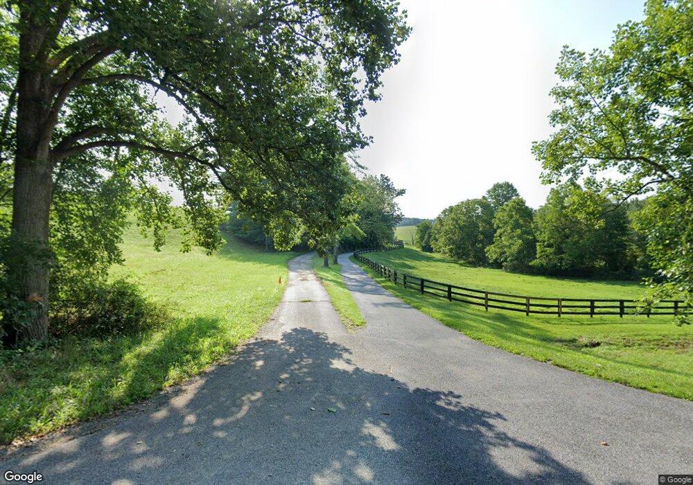
4717 Buffalo Rd Mount Airy, MD 21771
Estimated Value: $1,094,000 - $1,499,978
Studio
3
Baths
4,628
Sq Ft
$280/Sq Ft
Est. Value
About This Home
This home is located at 4717 Buffalo Rd, Mount Airy, MD 21771 and is currently estimated at $1,296,989, approximately $280 per square foot. 4717 Buffalo Rd is a home located in Carroll County with nearby schools including Winfield Elementary School, Mount Airy Middle School, and South Carroll High School.
Ownership History
Date
Name
Owned For
Owner Type
Purchase Details
Closed on
Aug 9, 2018
Sold by
Larrick P Michael and Larrick Nancy A
Bought by
Larrick David M and Larrick Kimberly
Current Estimated Value
Home Financials for this Owner
Home Financials are based on the most recent Mortgage that was taken out on this home.
Original Mortgage
$750,000
Outstanding Balance
$651,345
Interest Rate
4.5%
Mortgage Type
New Conventional
Estimated Equity
$645,644
Purchase Details
Closed on
Nov 1, 2013
Sold by
Larrick P Michael and Larrick Nancy A
Bought by
Larrick P Michael and Larrick Nancy A
Create a Home Valuation Report for This Property
The Home Valuation Report is an in-depth analysis detailing your home's value as well as a comparison with similar homes in the area
Purchase History
| Date | Buyer | Sale Price | Title Company |
|---|---|---|---|
| Larrick David M | $937,500 | Safeguard Title Ins Agency I | |
| Larrick P Michael | -- | Safeguard Title |
Source: Public Records
Mortgage History
| Date | Status | Borrower | Loan Amount |
|---|---|---|---|
| Open | Larrick David M | $750,000 |
Source: Public Records
Tax History
| Year | Tax Paid | Tax Assessment Tax Assessment Total Assessment is a certain percentage of the fair market value that is determined by local assessors to be the total taxable value of land and additions on the property. | Land | Improvement |
|---|---|---|---|---|
| 2025 | $10,615 | $942,533 | $0 | $0 |
| 2024 | $9,983 | $886,100 | $185,900 | $700,200 |
| 2023 | $9,798 | $867,067 | $0 | $0 |
| 2022 | $9,583 | $848,033 | $0 | $0 |
| 2021 | $18,975 | $829,000 | $145,900 | $683,100 |
| 2020 | $9,199 | $808,800 | $0 | $0 |
| 2019 | $8,971 | $788,600 | $0 | $0 |
| 2018 | $8,665 | $768,400 | $145,900 | $622,500 |
| 2017 | $5,115 | $451,400 | $0 | $0 |
| 2016 | -- | $451,400 | $0 | $0 |
| 2015 | -- | $461,600 | $0 | $0 |
| 2014 | -- | $461,600 | $0 | $0 |
Source: Public Records
Map
Nearby Homes
- 4525 Roop Rd
- 3222 Kimberly Dr
- 4814 Ridge Rd
- 15539 Liberty Rd
- 3895 Buffalo Rd
- 3816 A Jim Smith Ln
- 4328 Ridge Rd Unit 13
- 4328 Ridge Rd Unit 14
- 5730 Ridge Rd
- 2613 Liberty Rd
- 2507 Gillis Rd
- 2514 W Liberty Rd
- 0 Cabbage Spring Rd
- 3007 Merle Ct
- 7275 Hattery Farm Ct
- 3410 Tuckaway Dr
- 6181 Challedon Cir
- 5905 Kim Ct
- 4505 Gray Horse Dr
- 6207 Belmont Cir
- 4677 Buffalo Rd
- 4723 Buffalo Rd
- 4755 Buffalo Rd
- 4757 Buffalo Rd
- 4801 Buffalo Rd
- 4800 Buffalo Rd
- 4660 Buffalo Rd
- 4701 Buffalo Rd
- 4650 Buffalo Rd
- 0 Buffalo Rd Unit FR8242695
- 3555 Secluded Spring Dr
- 3545 Secluded Spring Dr
- 4640 Buffalo Rd
- 4817 Buffalo Rd
- 4630 Buffalo Rd
- 3540 Secluded Spring Dr
- 4802 Buffalo Rd
- 4815 Buffalo Rd
- 4729 Buffalo Rd
- 3550 Secluded Spring Dr
Your Personal Tour Guide
Ask me questions while you tour the home.