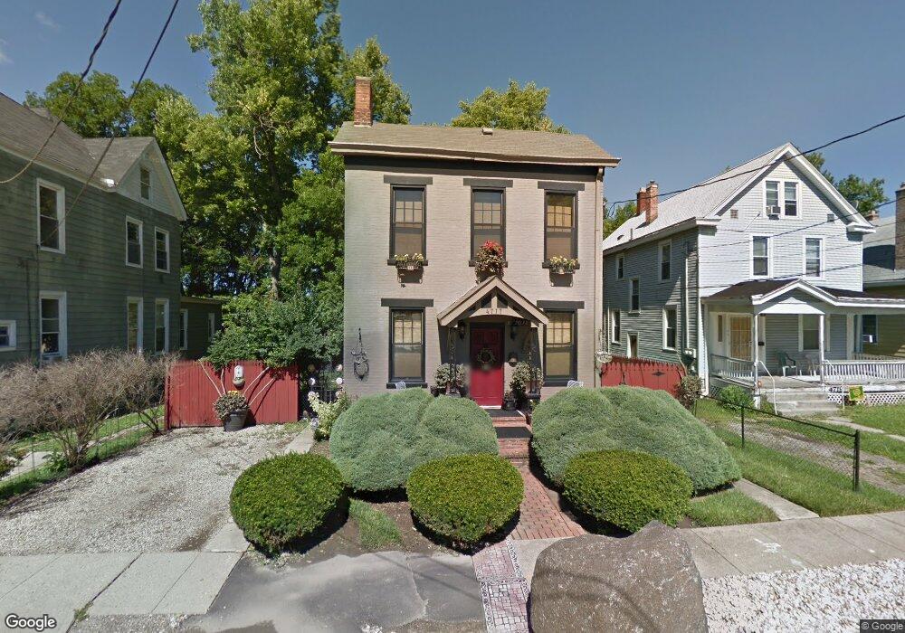
4717 Osgood St Cincinnati, OH 45227
Madisonville NeighborhoodEstimated Value: $268,293 - $342,000
4
Beds
2
Baths
1,740
Sq Ft
$180/Sq Ft
Est. Value
About This Home
This home is located at 4717 Osgood St, Cincinnati, OH 45227 and is currently estimated at $312,823, approximately $179 per square foot. 4717 Osgood St is a home located in Hamilton County with nearby schools including John P. Parker School, Shroder High School, and Clark Montessori High School.
Ownership History
Date
Name
Owned For
Owner Type
Purchase Details
Closed on
Dec 12, 2003
Sold by
Hill Zedema V
Bought by
Mattocks James and Mattocks Zedenia
Current Estimated Value
Home Financials for this Owner
Home Financials are based on the most recent Mortgage that was taken out on this home.
Original Mortgage
$107,950
Interest Rate
8.75%
Mortgage Type
Unknown
Create a Home Valuation Report for This Property
The Home Valuation Report is an in-depth analysis detailing your home's value as well as a comparison with similar homes in the area
Home Values in the Area
Average Home Value in this Area
Purchase History
| Date | Buyer | Sale Price | Title Company |
|---|---|---|---|
| Mattocks James | -- | -- |
Source: Public Records
Mortgage History
| Date | Status | Borrower | Loan Amount |
|---|---|---|---|
| Previous Owner | Mattocks James | $107,950 |
Source: Public Records
Tax History Compared to Growth
Tax History
| Year | Tax Paid | Tax Assessment Tax Assessment Total Assessment is a certain percentage of the fair market value that is determined by local assessors to be the total taxable value of land and additions on the property. | Land | Improvement |
|---|---|---|---|---|
| 2024 | $3,429 | $57,285 | $14,847 | $42,438 |
| 2023 | $3,506 | $57,285 | $14,847 | $42,438 |
| 2022 | $2,391 | $34,983 | $7,319 | $27,664 |
| 2021 | $2,299 | $34,983 | $7,319 | $27,664 |
| 2020 | $2,366 | $34,983 | $7,319 | $27,664 |
| 2019 | $2,289 | $30,958 | $6,475 | $24,483 |
| 2018 | $2,293 | $30,958 | $6,475 | $24,483 |
| 2017 | $2,178 | $30,958 | $6,475 | $24,483 |
| 2016 | $2,344 | $32,869 | $6,181 | $26,688 |
| 2015 | $2,114 | $32,869 | $6,181 | $26,688 |
| 2014 | $2,129 | $32,869 | $6,181 | $26,688 |
| 2013 | $2,103 | $31,914 | $6,003 | $25,911 |
Source: Public Records
Map
Nearby Homes
- 4496 Butterfield Place
- 5640 Whitney Place
- 4479 Butterfield Place
- 4480 Butterfield Place
- 5001 Anderson Place
- 5003 Anderson Place
- 5005 Anderson Place
- 5007 Anderson Place
- 4408 Erie Ave
- 5721 Whitney Ave
- 4335 Conant St
- 5720 Madison Rd
- 5123 Stewart Ave
- 5103 Ebersole Ave
- 4612 Ward St
- 4600 Ward St
- 6012 Clephane Ave
- 5521 Chandler St
- 5619 Chandler St
- 6102 Conover St
- 4719 Osgood St
- 4715 Osgood St
- 4721 Osgood St
- 4711 Osgood St Unit 1
- 4720 Armada Place
- 4716 Armada Place
- 4723 Osgood St
- 4722 Armada Place
- 4712 Armada Place
- 4726 Armada Place
- 4705 Osgood St
- 5529 Orlando Place
- 4704 Armada Place
- 5532 Orlando Place
- 5535 Orlando Place
- 5539 Orlando Place
- 4717 Stewart Ave
- 4721 Stewart Ave
- 4703 Stewart Ave
- 5509 Tompkins Ave