471810 E 1085 Rd Muldrow, OK 74948
Estimated Value: $218,000 - $245,000
3
Beds
2
Baths
1,418
Sq Ft
$162/Sq Ft
Est. Value
About This Home
This home is located at 471810 E 1085 Rd, Muldrow, OK 74948 and is currently estimated at $229,391, approximately $161 per square foot. 471810 E 1085 Rd is a home with nearby schools including Muldrow Elementary School, Muldrow Middle School, and Muldrow High School.
Ownership History
Date
Name
Owned For
Owner Type
Purchase Details
Closed on
Oct 22, 2021
Sold by
Wickett Kenneth W and Wickett Suzan
Bought by
Wickett Kenneth and Wickett Suzan
Current Estimated Value
Purchase Details
Closed on
Oct 4, 1995
Sold by
Klingaman Bill
Bought by
Wickett Kenneth W
Create a Home Valuation Report for This Property
The Home Valuation Report is an in-depth analysis detailing your home's value as well as a comparison with similar homes in the area
Purchase History
| Date | Buyer | Sale Price | Title Company |
|---|---|---|---|
| Wickett Kenneth | -- | None Available | |
| Wickett Kenneth W | $16,500 | -- |
Source: Public Records
Tax History
| Year | Tax Paid | Tax Assessment Tax Assessment Total Assessment is a certain percentage of the fair market value that is determined by local assessors to be the total taxable value of land and additions on the property. | Land | Improvement |
|---|---|---|---|---|
| 2025 | $1,158 | $17,293 | $2,866 | $14,427 |
| 2024 | $1,158 | $16,790 | $2,783 | $14,007 |
| 2023 | $1,122 | $16,301 | $2,783 | $13,518 |
| 2022 | $1,056 | $15,862 | $2,783 | $13,079 |
| 2021 | $1,101 | $16,499 | $2,783 | $13,716 |
| 2020 | $575 | $9,093 | $1,828 | $7,265 |
| 2019 | $556 | $8,828 | $1,770 | $7,058 |
| 2018 | $538 | $8,571 | $1,669 | $6,902 |
| 2017 | $520 | $8,321 | $1,574 | $6,747 |
| 2016 | $503 | $8,079 | $1,490 | $6,589 |
| 2015 | $486 | $7,844 | $1,410 | $6,434 |
| 2014 | $470 | $7,615 | $1,348 | $6,267 |
Source: Public Records
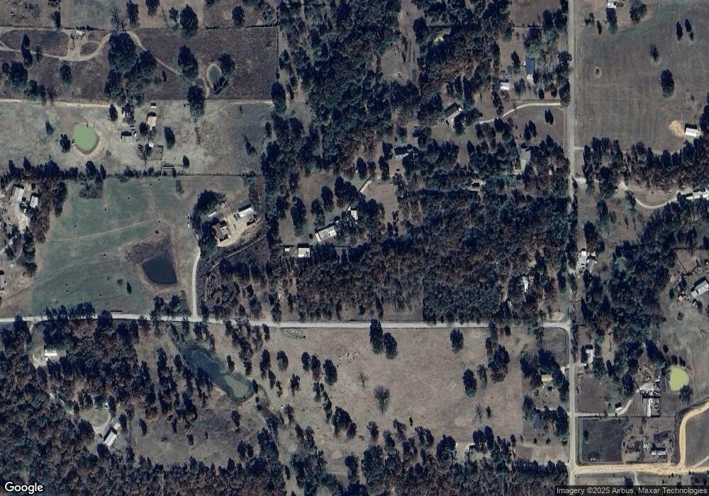
Map
Nearby Homes
- 108412 S 4720 Rd
- 107774 S 4720
- 109635 S 4720 Rd
- 471804 E 1070 Rd
- TBD S 4720 Rd
- Tbd Water Tower Rd
- 110 Water Tower Rd
- 203 Pendergrass St
- 701 N Oak St
- 469958 E 1099 Rd
- 102 NW 2nd St
- 103 NE 1st St
- 106078 S 4715 Rd
- TBD Hugo St
- 103756 Oklahoma 64b
- 111024 S 4710 Rd
- 1505 Cherokee Rd
- 110134 S 4696 Rd
- 705 Wesley Ln
- 466821 E 1090 Rd
- 471861 E 1085 Rd
- 471503 E 1086 Rd
- 471926 E 1086 Rd
- 108434 S 4720 Rd
- 471965 E 1085 Rd
- 471505 E 1083 Rd
- 108563 S 4720 Rd
- 108654 S 4720 Rd
- 108732 S 4720 Rd
- 471846 E 1083 Rd
- 108692 S 4720 Rd
- 108647 S 4720 Rd
- 471631 E 1086 Rd
- 471656 E 1086 Rd
- 471672 E 1086 Rd
- 471886 E 1083 Rd
- 108782 S 4720 Rd
- 108782 S 4720 Rd
- 108782 S 4720 Rd
- 108270 S 4720 Rd
Your Personal Tour Guide
Ask me questions while you tour the home.