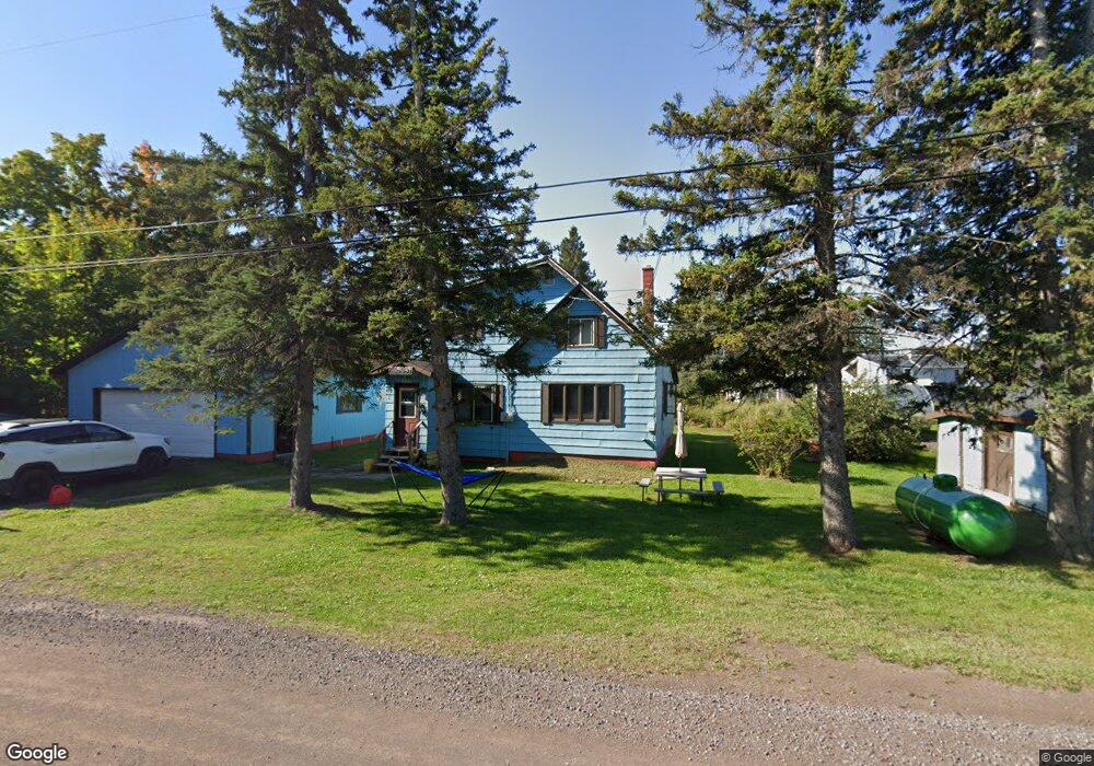
47183 Huron St Atlantic Mine, MI 49905
Estimated Value: $104,851 - $166,000
4
Beds
1
Bath
868
Sq Ft
$158/Sq Ft
Est. Value
About This Home
This home is located at 47183 Huron St, Atlantic Mine, MI 49905 and is currently estimated at $137,284, approximately $158 per square foot. 47183 Huron St is a home with nearby schools including South Range Elementary School and Jeffers High School.
Ownership History
Date
Name
Owned For
Owner Type
Purchase Details
Closed on
Oct 6, 2020
Sold by
Harry Christopher P and Harry Laura
Bought by
Rastello Jacob M
Current Estimated Value
Home Financials for this Owner
Home Financials are based on the most recent Mortgage that was taken out on this home.
Original Mortgage
$41,710
Outstanding Balance
$37,031
Interest Rate
2.8%
Mortgage Type
Construction
Estimated Equity
$100,253
Purchase Details
Closed on
Aug 1, 1995
Bought by
Harry Richard
Create a Home Valuation Report for This Property
The Home Valuation Report is an in-depth analysis detailing your home's value as well as a comparison with similar homes in the area
Home Values in the Area
Average Home Value in this Area
Purchase History
| Date | Buyer | Sale Price | Title Company |
|---|---|---|---|
| Rastello Jacob M | $43,000 | Keweenaw Title Agcy | |
| Harry Richard | $1,000 | -- |
Source: Public Records
Mortgage History
| Date | Status | Borrower | Loan Amount |
|---|---|---|---|
| Open | Rastello Jacob M | $41,710 |
Source: Public Records
Tax History Compared to Growth
Tax History
| Year | Tax Paid | Tax Assessment Tax Assessment Total Assessment is a certain percentage of the fair market value that is determined by local assessors to be the total taxable value of land and additions on the property. | Land | Improvement |
|---|---|---|---|---|
| 2025 | $1,657 | $49,036 | $0 | $0 |
| 2024 | $1,400 | $39,691 | $0 | $0 |
| 2023 | $800 | $36,857 | $0 | $0 |
| 2022 | $972 | $32,120 | $0 | $0 |
| 2021 | $954 | $27,085 | $0 | $0 |
| 2020 | $361 | $26,607 | $0 | $0 |
| 2019 | $355 | $26,732 | $0 | $0 |
| 2018 | $348 | $26,154 | $0 | $0 |
| 2017 | $341 | $25,179 | $0 | $0 |
| 2016 | -- | $24,481 | $0 | $0 |
| 2015 | -- | $24,310 | $0 | $0 |
| 2014 | -- | $23,159 | $0 | $0 |
Source: Public Records
Map
Nearby Homes
- 47474 Huron St
- 46882 Naumkeg St
- TBD Huron St
- 52275 N Superior Rd
- 17970 Spring Brook Ln
- 47302 Janovosky Rd
- 2103 Balsam Ln
- TBD-undeveloped Oak Ridge Ln
- 1906 White Oak Ln
- 1905 Poplar Dr
- TBD32 Houghton Canal Rd
- 1506 Sugar Maple Ln
- 1504 Sugar Maple Ln
- 68 4th St
- 1607 W Quincy St
- 19426 Copper Ridge Rd
- TBD A B C Navy Stream
- TBD Razorback Dr Unit Part of Lot 22, Enti
- 46396 Maple St
- 46538 Main St
- 47196 Huron St
- 47203 Huron St
- 47223 Wyandotte St
- 47167 Huron St
- 47259 Wyandotte St
- 17208 Franklin Loop
- 47248 Huron St
- 47229 Huron St
- 47238 Huron St
- 17192 Franklin St
- 47186 Adventure St
- 47167 Adventure St
- 17170 Evans St
- 17160 Evans St
- 47133 Huron St
- 47244 Wyandotte St
- 47110 Huron St
- 47191 Adventure St
- 47109 Huron St
- 47280 Huron St