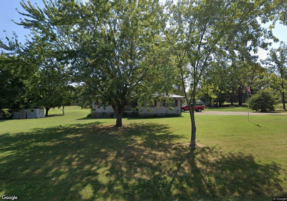
471886 E 1083 Rd Muldrow, OK 74948
Estimated Value: $121,272 - $205,000
3
Beds
2
Baths
1,177
Sq Ft
$136/Sq Ft
Est. Value
About This Home
This home is located at 471886 E 1083 Rd, Muldrow, OK 74948 and is currently estimated at $160,568, approximately $136 per square foot. 471886 E 1083 Rd is a home located in Sequoyah County with nearby schools including Muldrow Elementary School, Muldrow Middle School, and Muldrow High School.
Ownership History
Date
Name
Owned For
Owner Type
Purchase Details
Closed on
Mar 19, 2010
Sold by
Fuller Teresa Kay
Bought by
Fuller Shawn
Current Estimated Value
Home Financials for this Owner
Home Financials are based on the most recent Mortgage that was taken out on this home.
Original Mortgage
$73,020
Interest Rate
4.95%
Mortgage Type
Future Advance Clause Open End Mortgage
Purchase Details
Closed on
Jan 21, 1998
Sold by
Jim Walters Homes Inc
Bought by
Fuller Shawn
Create a Home Valuation Report for This Property
The Home Valuation Report is an in-depth analysis detailing your home's value as well as a comparison with similar homes in the area
Purchase History
| Date | Buyer | Sale Price | Title Company |
|---|---|---|---|
| Fuller Shawn | -- | None Available | |
| Fuller Shawn | $44,500 | -- |
Source: Public Records
Mortgage History
| Date | Status | Borrower | Loan Amount |
|---|---|---|---|
| Closed | Fuller Shawn | $73,020 |
Source: Public Records
Tax History
| Year | Tax Paid | Tax Assessment Tax Assessment Total Assessment is a certain percentage of the fair market value that is determined by local assessors to be the total taxable value of land and additions on the property. | Land | Improvement |
|---|---|---|---|---|
| 2025 | $401 | $6,649 | $485 | $6,164 |
| 2024 | $401 | $5,623 | $471 | $5,152 |
| 2023 | $329 | $5,460 | $461 | $4,999 |
| 2022 | $306 | $5,301 | $449 | $4,852 |
| 2021 | $295 | $5,301 | $449 | $4,852 |
| 2020 | $284 | $4,997 | $423 | $4,574 |
| 2019 | $274 | $4,852 | $410 | $4,442 |
| 2018 | $264 | $4,711 | $388 | $4,323 |
| 2017 | $254 | $4,573 | $355 | $4,218 |
| 2016 | $208 | $3,929 | $355 | $3,574 |
| 2015 | $200 | $3,815 | $336 | $3,479 |
| 2014 | $192 | $3,703 | $318 | $3,385 |
Source: Public Records
Map
Nearby Homes
- 108412 S 4720 Rd
- 107774 S 4720
- 109635 S 4720 Rd
- 471804 E 1070 Rd
- TBD S 4720 Rd
- Tbd Water Tower Rd
- 110 Water Tower Rd
- 203 Pendergrass St
- 106078 S 4715 Rd
- 701 N Oak St
- 469958 E 1099 Rd
- 103 NE 1st St
- 102 NW 2nd St
- 103756 Oklahoma 64b
- TBD Hugo St
- 1505 Cherokee Rd
- 110134 S 4696 Rd
- 111024 S 4710 Rd
- 466821 E 1090 Rd
- 705 Wesley Ln
- 471846 E 1083 Rd
- 471923 E 1083 Rd
- 108270 S 4720 Rd
- 471795 E 1083 Rd
- 108434 S 4720 Rd
- 471861 E 1085 Rd
- 471870 E 1080 Rd
- 471965 E 1085 Rd
- 471757 E 1083 Rd
- 471752 E 1080 Rd
- 471505 E 1083 Rd
- 471810 E 1085 Rd
- 471724 E 1083 Rd
- 471703 E 1083 Rd
- 471978 E 1080 Rd
- 471694 E 1080 Rd
- 108287 S 4720 Rd
- 108287 S 4720 Rd
- 108563 S 4720 Rd
- 107886 S 4720 Rd
Your Personal Tour Guide
Ask me questions while you tour the home.