4719 Palisade Dr Austin, TX 78731
Highland Park West NeighborhoodEstimated Value: $945,000 - $1,146,000
--
Bed
3
Baths
2,741
Sq Ft
$367/Sq Ft
Est. Value
About This Home
This home is located at 4719 Palisade Dr, Austin, TX 78731 and is currently estimated at $1,005,781, approximately $366 per square foot. 4719 Palisade Dr is a home located in Travis County with nearby schools including Highland Park Elementary School, Lamar Middle School, and McCallum High School.
Ownership History
Date
Name
Owned For
Owner Type
Purchase Details
Closed on
Apr 5, 2001
Sold by
Tims Robert S
Bought by
Tims Kelli B
Current Estimated Value
Purchase Details
Closed on
Jul 30, 1998
Sold by
Main Street Homes Inc
Bought by
Tims Robert S and Batot Sims Kelli
Home Financials for this Owner
Home Financials are based on the most recent Mortgage that was taken out on this home.
Original Mortgage
$220,800
Outstanding Balance
$46,143
Interest Rate
6.94%
Mortgage Type
New Conventional
Estimated Equity
$959,638
Purchase Details
Closed on
Aug 20, 1997
Sold by
Mihalski Michael A
Bought by
Main Street Homes Inc
Home Financials for this Owner
Home Financials are based on the most recent Mortgage that was taken out on this home.
Original Mortgage
$204,000
Interest Rate
7.47%
Mortgage Type
Purchase Money Mortgage
Create a Home Valuation Report for This Property
The Home Valuation Report is an in-depth analysis detailing your home's value as well as a comparison with similar homes in the area
Home Values in the Area
Average Home Value in this Area
Purchase History
| Date | Buyer | Sale Price | Title Company |
|---|---|---|---|
| Tims Kelli B | -- | -- | |
| Tims Robert S | -- | -- | |
| Main Street Homes Inc | -- | Austin Title Company |
Source: Public Records
Mortgage History
| Date | Status | Borrower | Loan Amount |
|---|---|---|---|
| Open | Tims Robert S | $220,800 | |
| Previous Owner | Main Street Homes Inc | $204,000 | |
| Closed | Tims Robert S | $27,600 | |
| Closed | Tims Kelli B | $0 |
Source: Public Records
Tax History Compared to Growth
Tax History
| Year | Tax Paid | Tax Assessment Tax Assessment Total Assessment is a certain percentage of the fair market value that is determined by local assessors to be the total taxable value of land and additions on the property. | Land | Improvement |
|---|---|---|---|---|
| 2025 | $14,593 | $952,614 | -- | -- |
| 2023 | $14,593 | $944,688 | $0 | $0 |
| 2022 | $16,961 | $858,807 | $0 | $0 |
| 2021 | $16,994 | $780,734 | $361,000 | $457,728 |
| 2020 | $15,223 | $709,758 | $361,000 | $348,758 |
| 2018 | $13,978 | $631,349 | $361,000 | $270,349 |
| 2017 | $13,595 | $609,584 | $315,875 | $342,852 |
| 2016 | $12,359 | $554,167 | $248,188 | $361,383 |
| 2015 | $10,177 | $503,788 | $248,188 | $314,565 |
| 2014 | $10,177 | $457,989 | $0 | $0 |
Source: Public Records
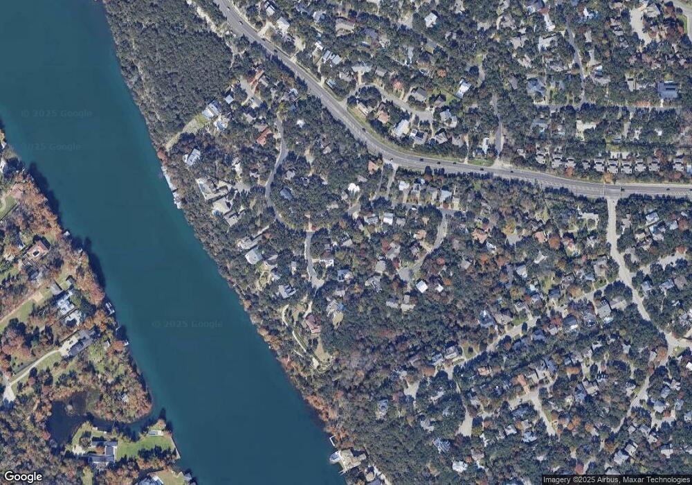
Map
Nearby Homes
- 4804 Ranch Road 2222
- 5701 Westslope Dr Unit 3
- 4600 Eby Ln
- 4507 Autumnleaf Hollow
- 5507 Mount Bonnell Rd
- 5301 Maryanna Dr
- 5813 Sandalwood Hollow
- 5606 Bonnell Vista St Unit D3
- 5612 Bonnell Vista St
- 1717 Channel Rd
- 5913 N West Place
- 4500 River Wood Ct
- 5926 N West Place
- 1719 Channel Rd
- 4825 Laguna Ln
- 5913 Doone Valley Ct
- 000 Laguna Ln
- 4703 Laguna Ln
- 6029 Mount Bonnell Cove
- 4717 Palisade Dr
- 5609 Craggy Point
- 5607 Craggy Point
- 4715 Palisade Dr
- 5605 Craggy Point
- 5602 Palisade Ct
- 4720 Palisade Dr
- 4722 Palisade Dr
- 4713 Palisade Dr
- 4718 Palisade Dr
- 5604 Palisade Ct
- 4724 Palisade Dr
- 5603 Craggy Point
- 4716 Palisade Dr
- 5600 Palisade Ct
- 4711 Palisade Dr
- 4726 Palisade Dr
- 4801 Leeward Ct
- 5600 Butte Blvd
- 5601 Craggy Point